ST. PETERSBURG, Fla. — With Florida in the cone of uncertainty of Hurricane Ian — which is forecast to become a major hurricane — and the potential for impacts from the storm, there is the potential the Tampa Bay area could see the "dirty side" of the storm.
But what do meteorologists mean when they say the "dirty side" of a storm?
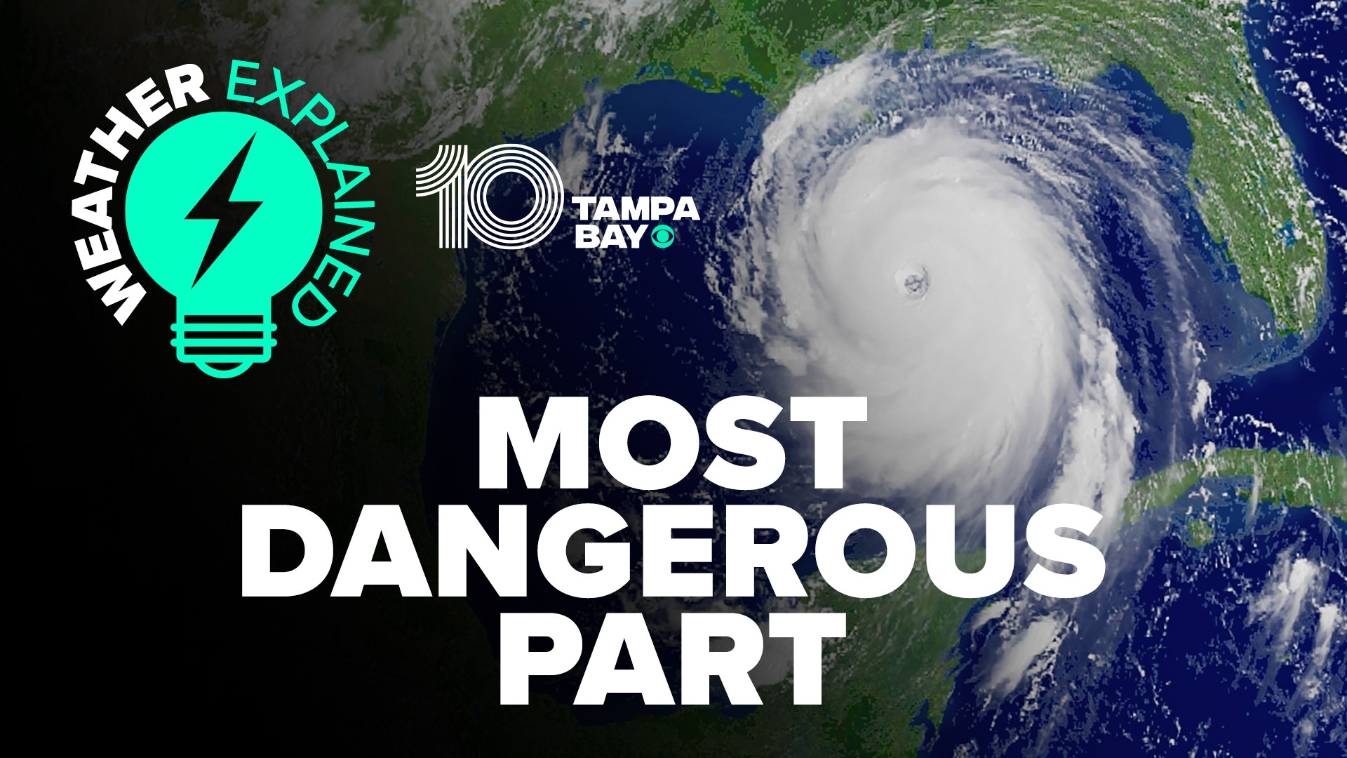
The dirty side of a hurricane or tropical system is the right side of the storm with respect to the direction it is moving. So, if the system is moving to the north, the dirty side is usually to the right or east side of the system. If the storm is moving west, the dirty side would be the top or north side.
Meteorologists call it the dirty side because it is where the most concerning weather occurs. Every part of a tropical storm or hurricane is dangerous, but the dirty side typically brings the worst conditions.
The dirty side is where you’re most likely to see storm surge, extreme wind and heavier rain bands that can cause flooding and even tornadoes.
The storm surge exists on the dirty side because winds spin around the storm counterclockwise, meaning the wind in this sector blows onshore, pushing water onto land.
Typically, the faster the wind speed and forward motion of the hurricane, the higher the storm surge will be.
The other side of a tropical cyclone will have winds blowing offshore. While it can still bring wind damage, wind actually blows water off the shore. This means there's less of a threat of storm surge. It’s also an area less likely to create tornadoes.
The National Oceanic and Atmospheric Association explains the winds spiral counterclockwise around the storm’s center in addition to its forward movement. So as the storm moves forward, the winds are moving in the same direction and therefore their speeds are accelerated.
On the other side of the storm, winds are slower because the forward velocity slows down the wind velocity.
“For example, a hurricane with 90 mph winds moving at 10 mph would have a 100 mph wind speed on the right (forward-moving) side and 80 mph on the side with the backward motion,” NOAA’s website explains.
By the way, weather forecasts take this combination of wind and movement speed into account and would state that the highest winds were 100 mph.
So watch for the dirty side of tropical storms and hurricanes. These weather conditions are more likely to occur there:
- Storm surge along the coast
- Higher tornado threat
- Strongest wind gusts
To find resources to help you and your family prepare for the storm, click here. 10 Tampa Bay is your Hurricane Headquarters and we have resources and tips to keep you and your family safe and prepared throughout the hurricane season. Download our free 10 Tampa Bay app, head to our Hurricane Headquarters page, and stay up-to-date on our free 24/7 streaming app, 10 Tampa Bay+.
Previous 10 Tampa Bay reporting contributed to this article.

