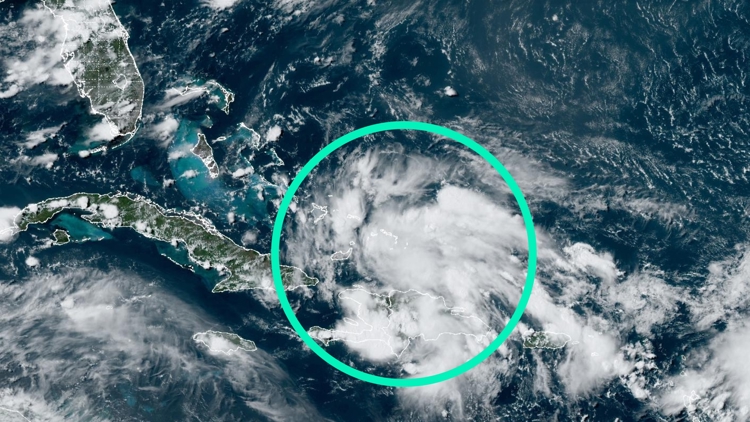
ST. PETERSBURG, Fla. — All eyes are on Invest 97-L, a tropical disturbance, affecting the Caribbean islands with showers and thunderstorms. Heading into the weekend, it's possible Florida could pick up heavy rainfall from this system.
But wait, what? What's an "invest"?
According to the National Weather Service, forecasters designate the term "invest" to a tropical disturbance that they're interested in monitoring more closely. This typically involves running computer weather models to help better guide forecasts of the disturbance's eventual location and intensity.
A disturbance that is labeled "invest" doesn't always develop into a tropical depression or storm, however.
Investigating an 'invest'
The National Hurricane Center labeled the area of disturbed tropical weather near the Caribbean islands as Invest 97-L Thursday morning. Because it's possible this system may develop into a more organized system, it's necessary to label it an "invest" and run weather computer models.
In the Atlantic basin — which includes the waters of the Atlantic Ocean, Caribbean Sea and the Gulf of Mexico — invests are numbered 90 to 99 followed by the letter "L." Numbers are rotated within the season and are re-used as necessary (the next invest after 99 would be numbered 90).
This naming system gives forecasters a way of identifying the individual weather systems and the important information related to them. When there are multiple tropical disturbances, it is easier for meteorologists to communicate what disturbance they are talking about.
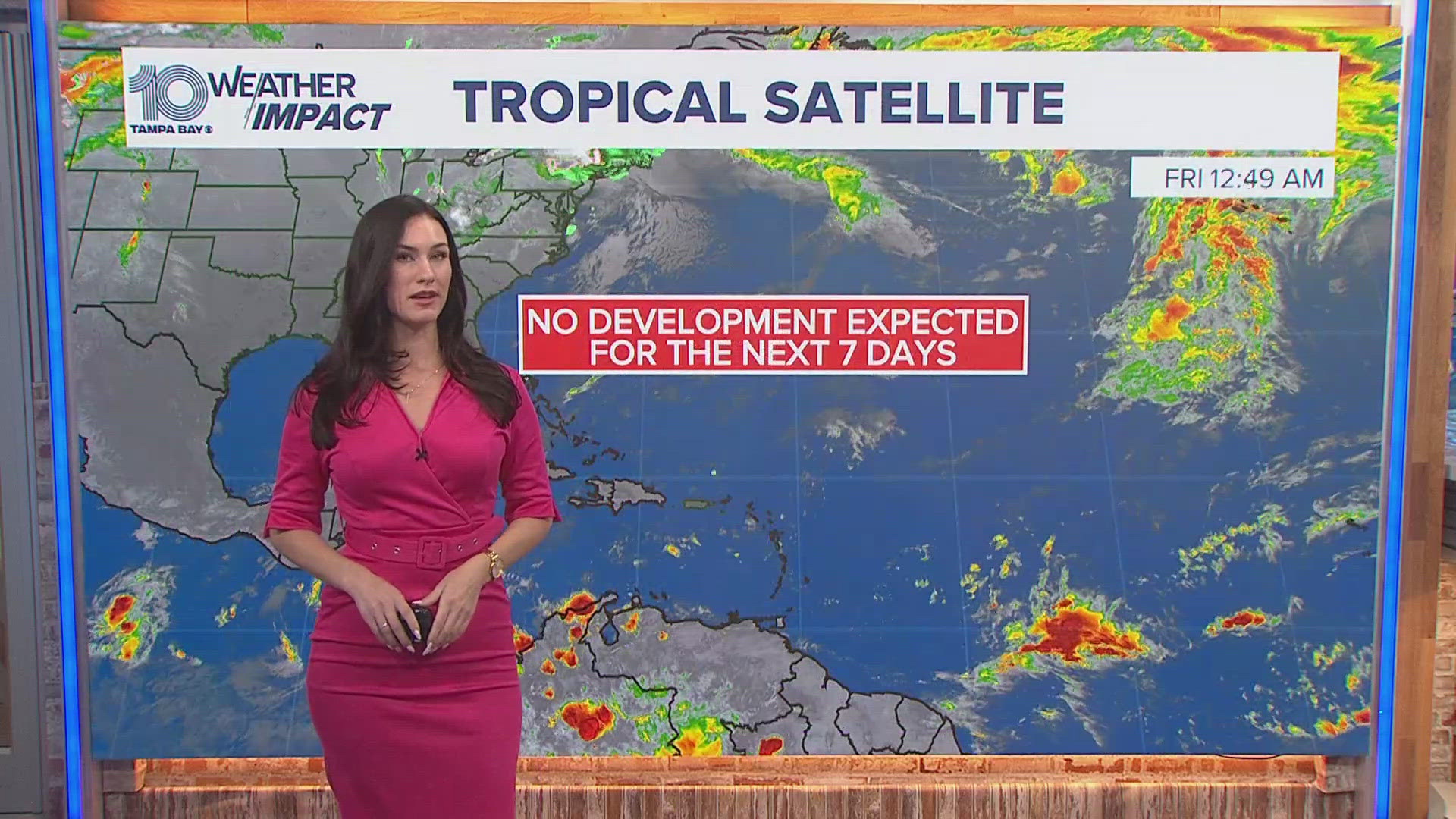
"While the invest classification doesn't guarantee tropical formation, it does give us the necessary tools and resources to better forecast and analyze just how a tropical wave is behaving," 10 Tampa Bay meteorologist Natalie Ferrari said.


