TAMPA, Fla. — The National Hurricane Center is monitoring three areas in the tropics, including now weakening Tropical Depression Ida.
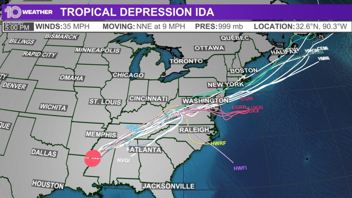
As of the NHC's 5 p.m. Monday advisory, Tropical Depression Ida is continuing to move farther inland over Mississippi. It is now about 20 miles north-northwest of Jackson, Mississippi, with 35-mph winds as it moves north-northeast at 9 mph.
The impacts of catastrophic storm surge and flash flooding in portions of southeastern Louisiana, southern Mississippi and southern Alabama remain.


Ida made landfall near Port Fourchon, Louisiana, according to the NHC, with maximum sustained winds of 150 mph. The eye of Hurricane Ida then made a second landfall as a Category 4 hurricane southwest of Galliano, Louisiana, the NHC reports. Winds were around 145 mph.
The center of Ida will move farther inland over central and northeastern Mississippi Monday night before moving across the Tennesse Valley on Tuesday. By mid-week, Ida will reach the central Appalachians, according to the NHC.
As Ida moves farther inland, additional weakening is expected, the NHC reports.

