ST. PETE BEACH, Fla. — Is there another storm coming to Florida? It's a question that many are wondering as meteorologists track Tropical Storm Sara, which formed Thursday afternoon.
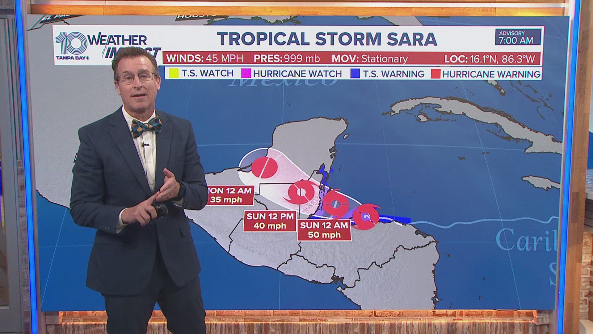
After developing into a tropical storm, Sara is expected to potentially strengthen further, provided it stays over water. If Sara reaches land and stays there, it'll have a harder time staying together. If conditions are right, this storm could become a hurricane, but chances are low. This would depend on its interaction with land and steering currents as it approaches the Yucatan Peninsula.
Here at home in the Tampa Bay area, Sara will weaken by the time it reaches Florida's west coast, bringing rounds of rain to the region as a cold front pushes the remnants of Sara's tropical moisture our way.
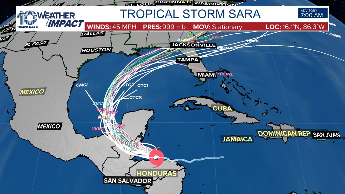
As of right now, forecasters will use different tools and data to track the storm and its development. One of those tools are spaghetti models, getting its name because they resemble spaghetti noodles. Each line in a spaghetti model represents a computer's best guess as to where the center of the storm will go.
These models, however, do not show expected impacts to areas.
Here's the latest spaghetti models for Tropical Storm Sara:


See below for the real-time tropical tracker, spaghetti models and more.
10 Tampa Bay is keeping informed, prepared and connected: Download our free mobile app for real-time storm information and breaking alerts, and download 10 Tampa Bay+ on your favorite streaming device for live updates.
RELATED: When does hurricane season end?
RELATED: How to spot a hurricane-related scam

