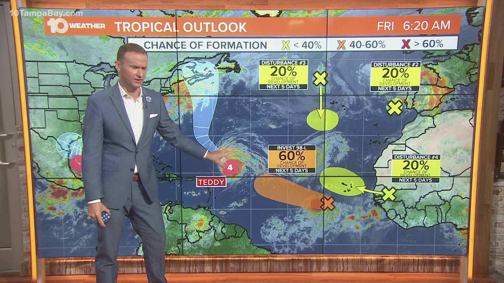
ST. PETERSBURG, Fla — Invest-90 L has formed into Tropical Depression 22, according to the National Hurricane Center's latest advisory.
The storm is approximately 235 miles east of Tampico, Mexico and is moving northeast at 3 mph and showing sustained winds of 35 mph.
The depression is forecast to move slowly to the north through the weekend with a turn north and then west anticipated over the weekend.
Some strengthening is possible during the next couple of days with a chance for the tropical depression to become a tropical storm Friday and near hurricane strength by Sunday, according to the NHC.
With the activity in the Atlantic, it is no surprise we are officially in peak hurricane season. In addition to Tropical Depression 22, there are several other areas we are watching, including Category 4 Hurricane Teddy.
The next name on the 2020 Atlantic Hurricane Season's list is its last-- Wilfred. The record for the earliest named “W” storm is Wilma on Oct. 17, 2005.
Once we run out of names we head into the Greek alphabet.


The National Oceanic and Atmospheric Administration (NOAA) updated its 2020 hurricane season forecast earlier this month, indicating one of the most active seasonal forecasts that NOAA has produced in its 22-year history of hurricane outlooks.
The updated forecast calls for 19-25 named storms, 7-11 hurricanes and 3-6 major hurricanes. This includes the 16 storms and three hurricanes we’ve already seen.

