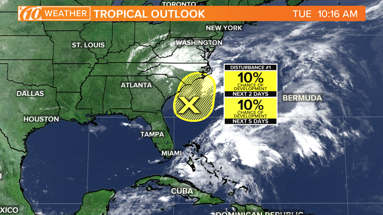
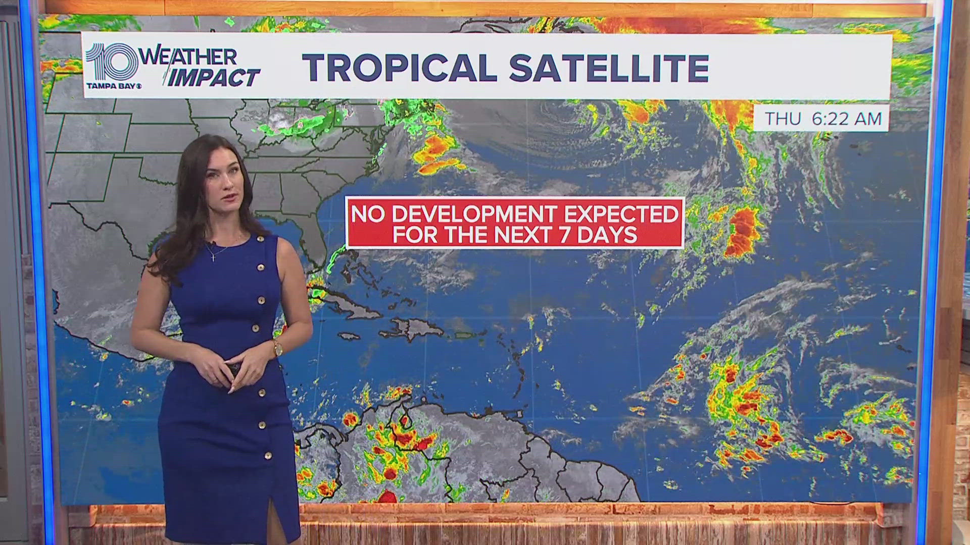
.A non-tropical low-pressure area located about 150 miles south-southeast of the North Carolina-South Carolina border is producing disorganized showers and thunderstorms over portions of southeastern and eastern North Carolina, including the Outer Banks.
The National Hurricane gives the weather disturbance just a 10 percent chance of further development because environmental conditions are expected to remain unfavorable for significant development through tonight when the low should move inland over eastern North Carolina.
The low is moving slowly toward the north-northeast, and a gradual turn toward the north is forecasted later today.
Regardless of any further development, heavy rainfall could occur over portions of northeastern South Carolina and southeastern and eastern North Carolina through Wednesday.
RELATED: What is a tropical disturbance?
- Petition calls for Broward County to change its name
- US Air Force releases pilot's name after deadly crash; cause still unclear
- T-Mobile restores services after nationwide outage impacting calls, data
- CDC posts everyday tips for minimizing COVID-19 risk
- Photographer captures 'remarkable' pic of one of oldest-known grizzly bears
- Epidemiologist says data can be misleading and coronavirus is spreading in Florida
FREE 10 TAMPA BAY APP:
►Stay In the Know! Sign up now for the Brightside Blend Newsletter


