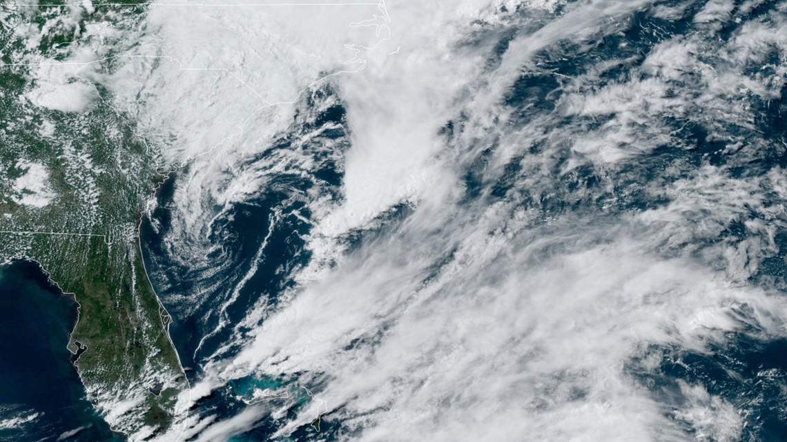
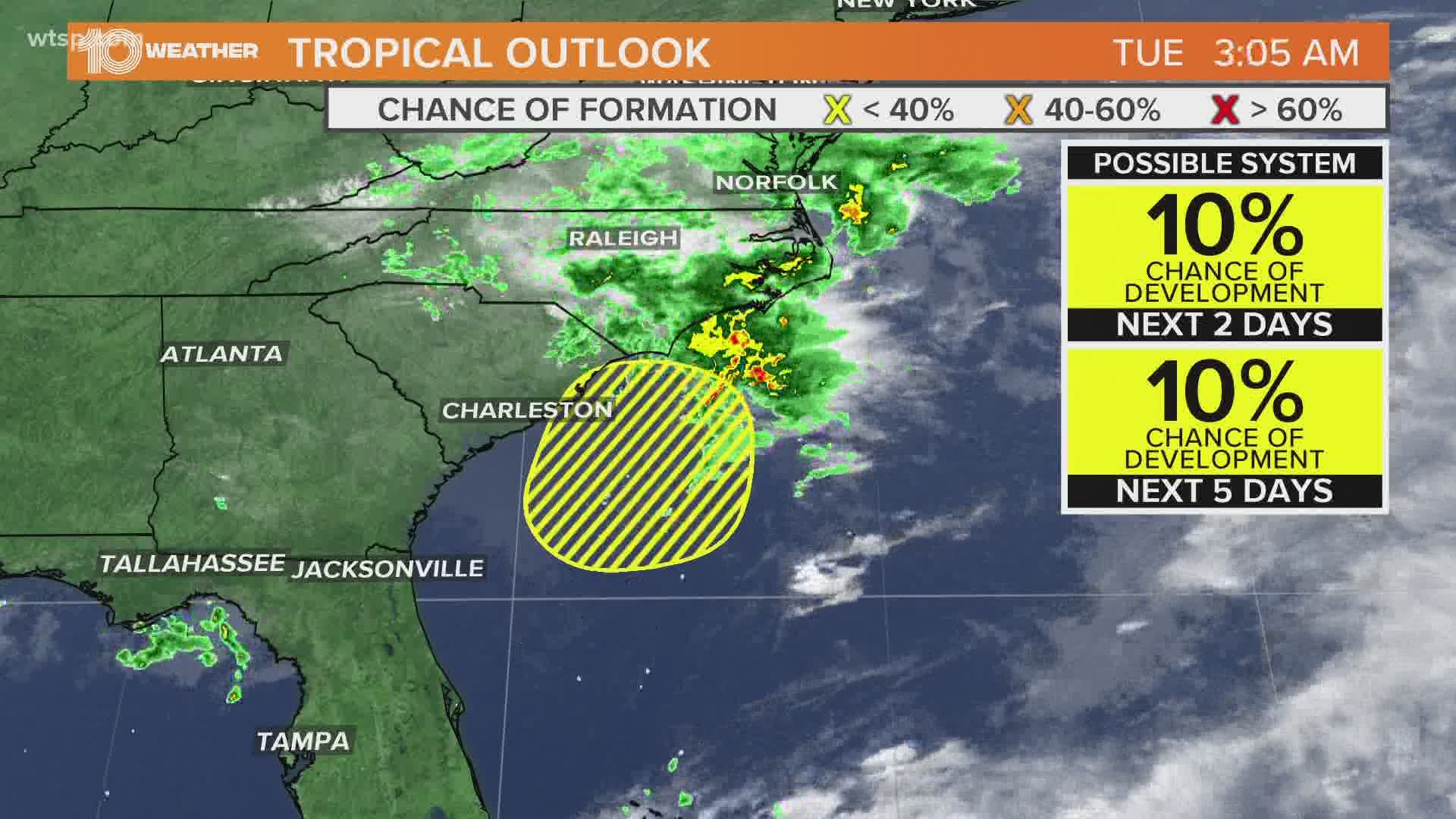
ST. PETERSBURG, Fla. — An area of low pressure off the Southeast coast is now Invest 94-L.
Although environmental conditions are forecast to be unfavorable for any significant development, this system could briefly acquire some subtropical characteristics before it moves inland Tuesday afternoon or evening.


Right now, the National Hurricane Center only gives this a 10 percent chance of further development over the next 48 hours to five days.
Regardless of development, heavy rainfall could be seen over portions of northeastern South Carolina and southeastern North Carolina from Tuesday afternoon into Wednesday.
There have been three named storms so far this active 2020 Atlantic hurricane season, which still is forecast to be busy in the months ahead.
- FHP: Wrong-way driver crashed into semi filled with apple cider on I-275, setting it on fire
- Off-duty FWC officer shot, killed in South Florida
- Trump supporters burn Michigan absentee ballot applications
- Nearly 43,000 pounds of ground beef recalled for possible E. coli contamination
- Tarpon Spring restaurant closes after COVID-19 exposure
- Rayshard Brooks shooting: Police bodycam footage released in Wendy's shooting
- CDC posts everyday tips for minimizing COVID-19 risk
FREE 10 TAMPA BAY APP:
►Stay In the Know! Sign up now for the Brightside Blend Newsletter


