ST. PETERSBURG, Fla. — It's about to get hot and stay hot around the Tampa Bay region!
Temperatures are quickly warming up after highs were only in the 60s lows were in the 40s earlier in the week. We will not see those cool temperatures anytime soon.
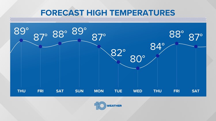
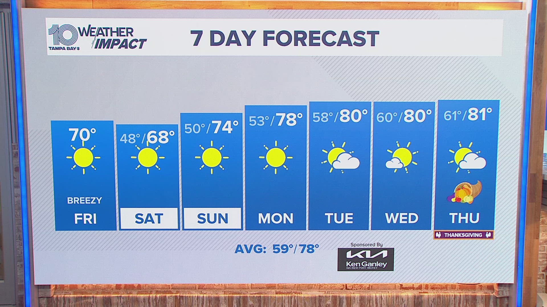
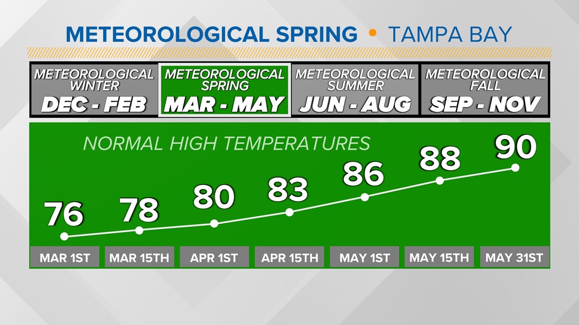
What is normal for this time of year is highs in the upper 70s and lows in the lower 60s. We will be several degrees above that with highs in the mid to upper 80s. Some areas will likely reach into the lower 90s inland!

Not a lot of rain in the forecast either. Dry and sunny weather will worsen drought conditions across the area. Brush fires will likely be across the area over the coming weeks. Our only small rain chances will arrive over the weekend, mainly for our northern counties as a cold front stalls out off to the north.
The lack of rain will be bad for thttps://www.tegnaone.com/article/weather/florida-drought-conditions-developing/67he drought conditions but will be great for spring breakers. Gulf water temperatures will likely jump up significantly with lots of sunshine, warm daytime highs and mild overnight lows. The latest red tide reports also show great signs for beach lovers as red tide concentrations continue to decrease.
How long will this warm and dry weather last?
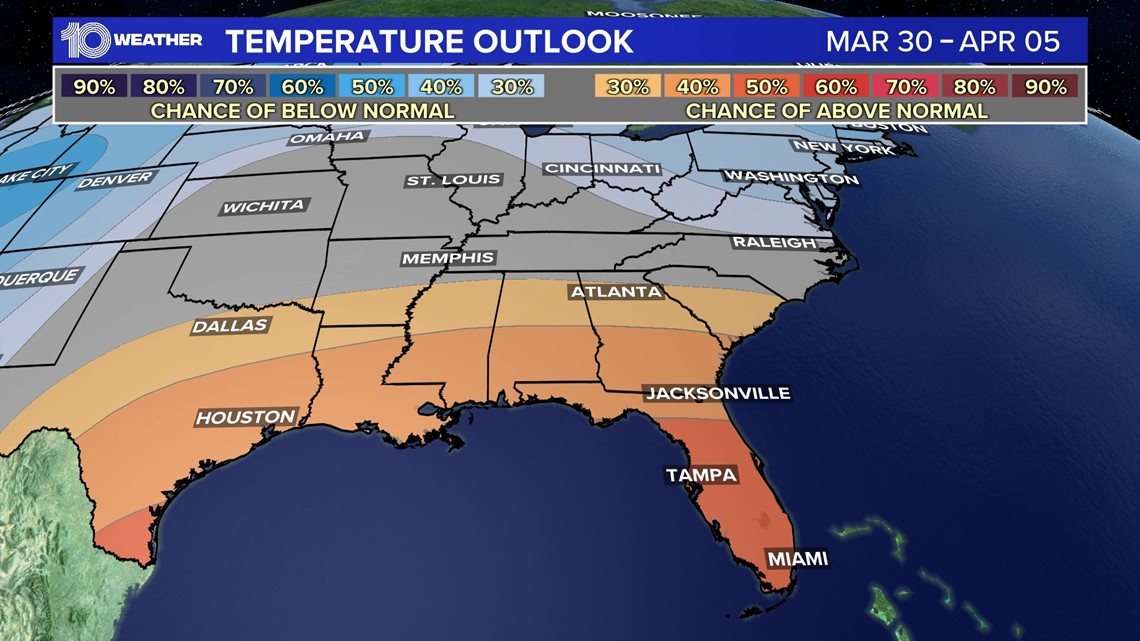
The Climate Prediction Center releases several outlooks for short and long-term temperature trends. And they all show above-average temperatures! The eight-to-14-day forecast shows warmer than average temperatures likely, same with the one-month forecast and the three-month forecast!

When's the next cold front?
A cold front might bring temperatures down a bit for the middle of next week around Wednesday. It could also bring some small rain chances too, but don't expect anything too crazy from the front.


Where's the active weather?
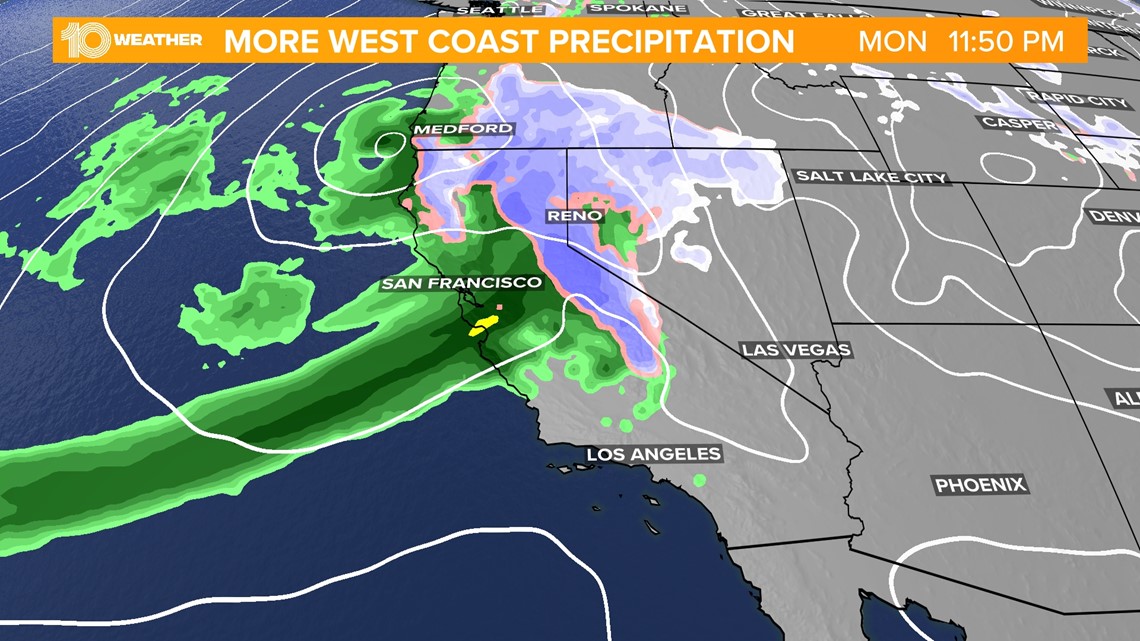
The West Coast has been getting slammed all winter long and now it's more of the same for the start of spring. They will continue to see feet of snow in the mountains with heavy rain elsewhere.

