ST. PETERSBURG, Fla. — If a tornado watch or tornado warning were issued for your area, would you be ready?
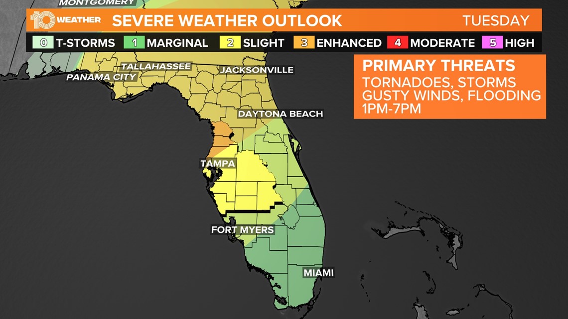
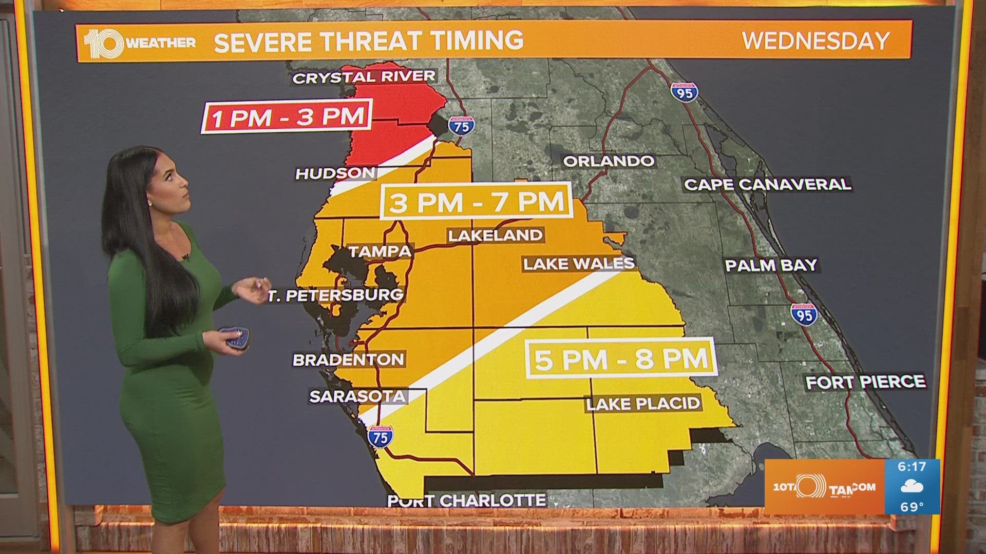
Strong to severe thunderstorms are forecast to move through parts of the Tampa Bay area on Tuesday, and there is a risk for tornadoes.
Storm Prediction Center forecasters have highlighted the immediate Tampa Bay area under a slight risk of a threat of severe weather. That's a level two out of five, meaning that scattered severe storms are possible.
A greater risk of severe weather exists north and west of the immediate Tampa area, where the area is highlighted under an enhanced risk — a level three out of five. Numerous severe storms are possible there.
The primary threats continue to be damaging winds, isolated tornadoes and large hail.


This is a breakdown of what a tornado watch and a tornado warning mean:
Tornado watch: Be prepared! A watch means conditions are right for a tornado to form. A tornado watch means it's possible to see one in and near the area under the advisory. This is a good time to review and discuss your emergency plans and check supplies and your safe room.
People who are somewhere a tornado watch has been issued should be ready to act fast if a tornado warning is issued or they think a tornado is approaching.
Tornado warning: Take action now! A tornado warning means there has been one indicated by a weather radar or sighted.
People should move to an interior room on the lowest floor of a sturdy building — avoid windows!
Tornado warnings are issued by the area's local National Weather Service forecast office.

