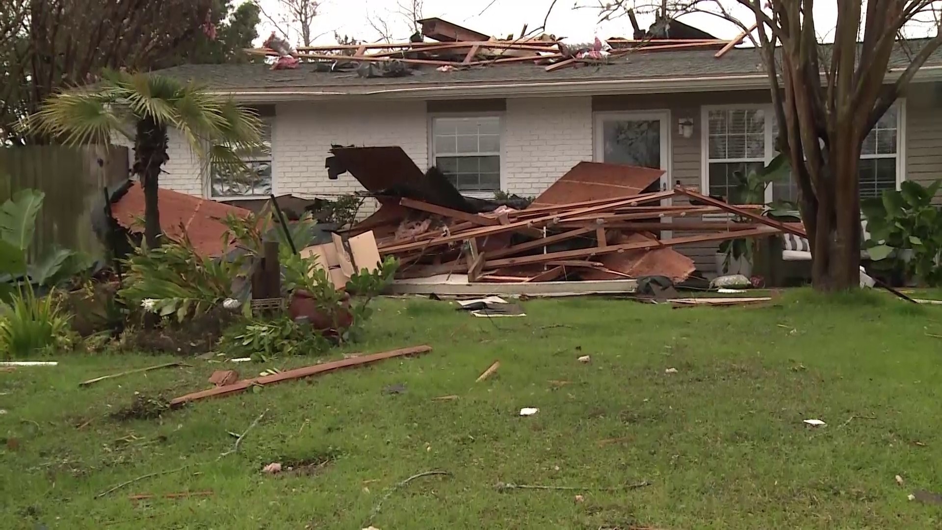
ST. PETERSBURG, Fla. — After severe weather and a confirmed tornado ripped through parts of the Florida Panhandle, causing significant damage in some areas, Gov. Ron DeSantis has issued a state of emergency for 49 counties, including much of the Tampa Bay area.
That's because the destructive line of storms is expected to move south, bringing the potential for severe thunderstorms and even tornadoes to Tampa Bay-area counties. You can find a breakdown of the storm timeline from our 10 Weather team here.
The following Tampa Bay-area counties are under the state of emergency order — it allows state agencies and crews to better mobilize for storm response :
- Citrus
- Hernando
- Hillsborough
- Pasco
- Pinellas
- Polk
Storm Prediction Center forecasters have highlighted the immediate Tampa Bay area under a slight risk of a threat of severe weather. That's a level two out of five, meaning that scattered severe storms are possible. A greater risk of severe weather exists north and west of the immediate Tampa area, where the area is highlighted under an enhanced risk — a level three out of five. Numerous severe storms are possible there.
The primary threats continue to be damaging winds, isolated tornadoes and large hail.
Those storms are expected to roll in from the Gulf of Mexico during the afternoon and evening hours, first impacting Citrus and Hernando counties.
The storms will progress from the northwest to southeast, impacting the immediate Tampa Bay area from roughly 3-7 p.m. and then the southeastern portion of the viewing area after 5 p.m.
Everyone will need to stay weather-aware should some of the stronger storms turn severe.
10 Tampa Bay's Andrew Krietz contributed to this report.

