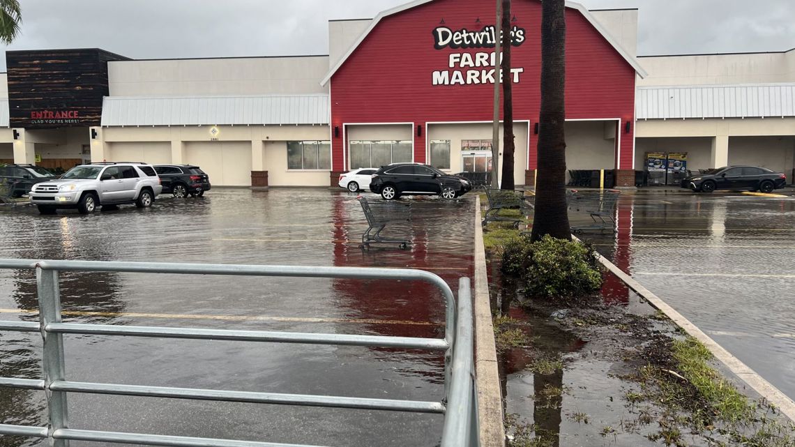
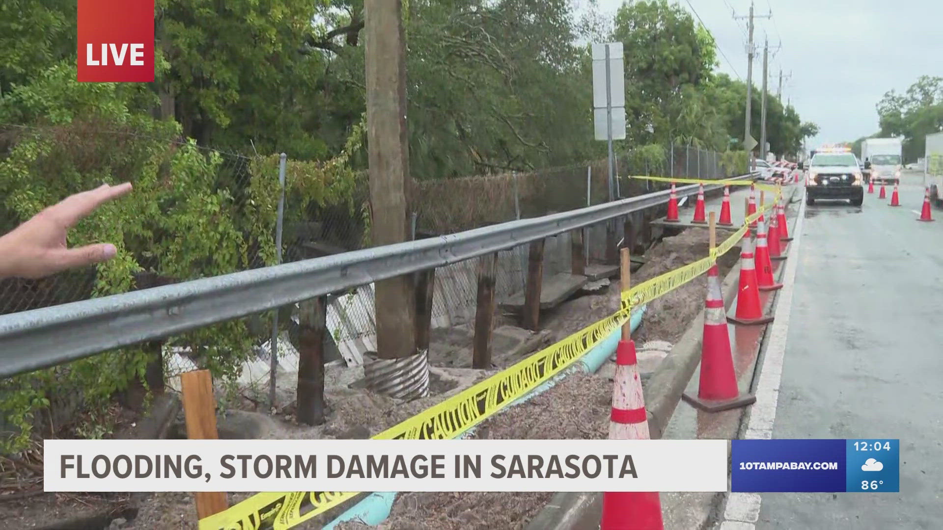
SARASOTA, Fla. — Flash flooding in Sarasota caused water to get into cars and buildings and nearly covered fire hydrants Tuesday evening.
The National Weather Service (NWS) issued a flash flood warning for parts of Manatee and Sarasota counties just before 7 p.m. as a heavy band of rain developed and stalled across the region, dumping 5-10 inches of rain. Another 1-2 inches are possible as rainfall continues overnight, forecasters said.
While the flash flood warning expired at 10 p.m., a flood warning remains in place for parts of Sarasota County through midnight.
At 8 p.m., NWS confirmed that a new record rainfall of 6.26 inches had been set at Sarasota Bradenton International Airport, surpassing the previous record of 2.5 inches set in 1940. With that number likely to increase as we receive updated information, Tuesday will go down as one of the wettest days in the airport's history.
Sarasota police said many of the city's roads were flooding because of the tropical downpour, including parts of U.S. Highway 41. The weather service reported water entering buildings along Siesta Key and St. Armands Key.


A trained weather spotter reported nearly 7 inches of rain near the downtown area. That's more than enough to cause a car to stall. Drivers are warned to stay away from any roads that appear flooded.
"Turn around, don`t drown when encountering flooded roads. Most flood deaths occur in vehicles," NWS forecasters wrote.
Several cars were stranded and needed to be towed outside the Publix at Broadway Promenade on N. Tamiami Trail.
"Reports of water getting into cars, almost covering fire hydrants," a storm report sent to the weather service around 7:30 p.m. reads. Justin Mosely, the chief meteorologist at WSNN-TV, tweeted flooding video in the downtown area.
The ongoing heavy rainfall across parts of the Tampa Bay area is associated with a disturbance in the Gulf of Mexico. While it has a low, 20-percent chance of becoming a more organized system, National Hurricane Center forecasters say it's more likely to continue dumping heavy rain across Florida.
Areas along and south of the Interstate 4 corridor are expected to see the heaviest rainfall in the coming days.

