ST. PETERSBURG, Fla. — A major hurricane is an unforgiving force of nature that brings potentially catastrophic winds, pounding rain and waves taller than most homes.
To learn more about what causes these storms to become so powerful requires someone or something to go right into the worst part of the storm.
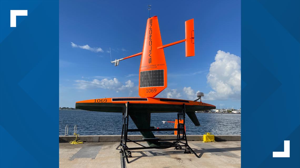
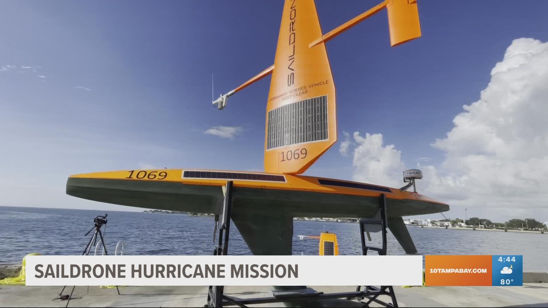
This is where Saildrone comes in. Saildrone equipment is an uncrewed surface vehicle (USV) specifically designed to brave the treacherous conditions found in a hurricane to gather more insight into how large and destructive hurricanes grow and intensify in the Atlantic Ocean and the Gulf of Mexico.
The saildrone USVs proved themselves in 2021 in the Atlantic Ocean with SD 1045 sailing through the eyewall of Category 4 Hurricane Sam. The saildrone was met with 50-foot waves and roaring 140 mph winds as it performed its duty of relaying back critical atmospheric and ocean data along with video and images in near real-time.
Saildrones are equipped with the ability to transmit meteorological and oceanographic data in real-time, including air temperature and relative humidity, barometric pressure, wind speed and direction, water temperature and salinity, sea surface temperature, and wave height and duration.
On Tuesday, 10 Tampa Bay was there as Saildrone launched its second annual hurricane mission, partnering with the National Oceanic and Atmospheric Administration (NOAA)'s Office of Oceanic and Atmospheric Research to send seven of these USVs to survey the atmosphere and ocean connection before during and after a tropical system moves through. One of the USVs bound for the Gulf of Mexico, SD 1032, was launched from Saildrone’s Ocean Mapping Headquarters in St. Petersburg.
Earlier this summer, the rest of the fleet was deployed from Jacksonville, Florida, and the US Virgin Islands, en route to locations in the Atlantic Ocean where scientists hope the saildrones will capture more of the incredible video, images, and data they collected in 2021.
“We are excited to expand this effort to collect vital data in both the Atlantic and the Gulf of Mexico. We opened our Florida office earlier this year to support exactly this kind of mission, as well as our goal of mapping the entire sea floor around Florida,” Saildrone CEO Richard Jenkins said. “Combining in situ ocean data with a better understanding of the ocean floor, will help us predict both storm intensity and storm surges, keeping our coastal communities safer from these destructive events.”


The Atlantic hurricane mission aims to improve understanding and predictability of tropical cyclone intensity changes and advance knowledge of the ocean-atmosphere interactions that fuel them.
The seven saildrones are a part of a larger NOAA endeavor to understand hurricane intensification. They will join an array of other observation tools like underwater gliders, surface drifters, profiling floats, and aerial assets like the NOAA Hurricane Hunters and drones to collectively gain deeper insight than ever before into the formation of these destructive storms.
“Uncrewed marine and aircraft systems have the potential to transform how NOAA meets its mission to better understand the environment,” said Capt. Philip Hall, the director of NOAA’s Uncrewed Systems Operations Center. “These exciting emerging technologies provide NOAA with another valuable tool that can collect data in places we can’t get to with other observing systems.”
NOAA Research will use the data collected by the saildrones to improve hurricane forecast models. The data will also be archived by NOAA’s National Environmental Satellite, Data and Information Service (NESDIS) and sent by NOAA in near real-time to the World Meteorological Organization (WMO)’s Global Telecommunication System (GTS) where it is available for the world’s major forecast centers — some 20 agencies worldwide, including NOAA.

