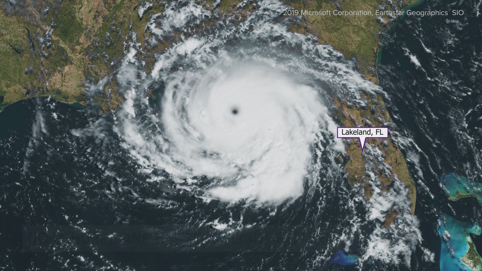
LAKELAND, Fla. — Hurricanes are ferocious, terrifying and destructive: Flying inside them is all in a day's work for the NOAA Hurricane Hunters.
Many times, it's a multi-day mission.
"It is simultaneously the most exciting flight you can have and sort of the most terrifying flight you can have almost at the same time," Lt. Cmdr. Adama Abitbol said.
Abitbol hunts down hurricanes.
He's a pilot who undertakes a 9-to-11-hour mission of gathering the essential information that will play a pivotal role in making a making as accurate of a forecast as possible. Data collected by Hurricane Hunters feed into weather computer models, fine-tuning them so meteorologists can better protect the public.
Tropical storms and hurricanes are an annual threat to the Tampa Bay area and Florida at large. Ultimately, the accuracy of the forecast for those storms is critical in protecting the life and property of people in the path of danger.
To make the best forecast possible, there has to be accurate and specific information acting as a foundation for a forecast. Perhaps not so surprisingly, the only way to get the most valuable data is to fly into the worst part of the storm.
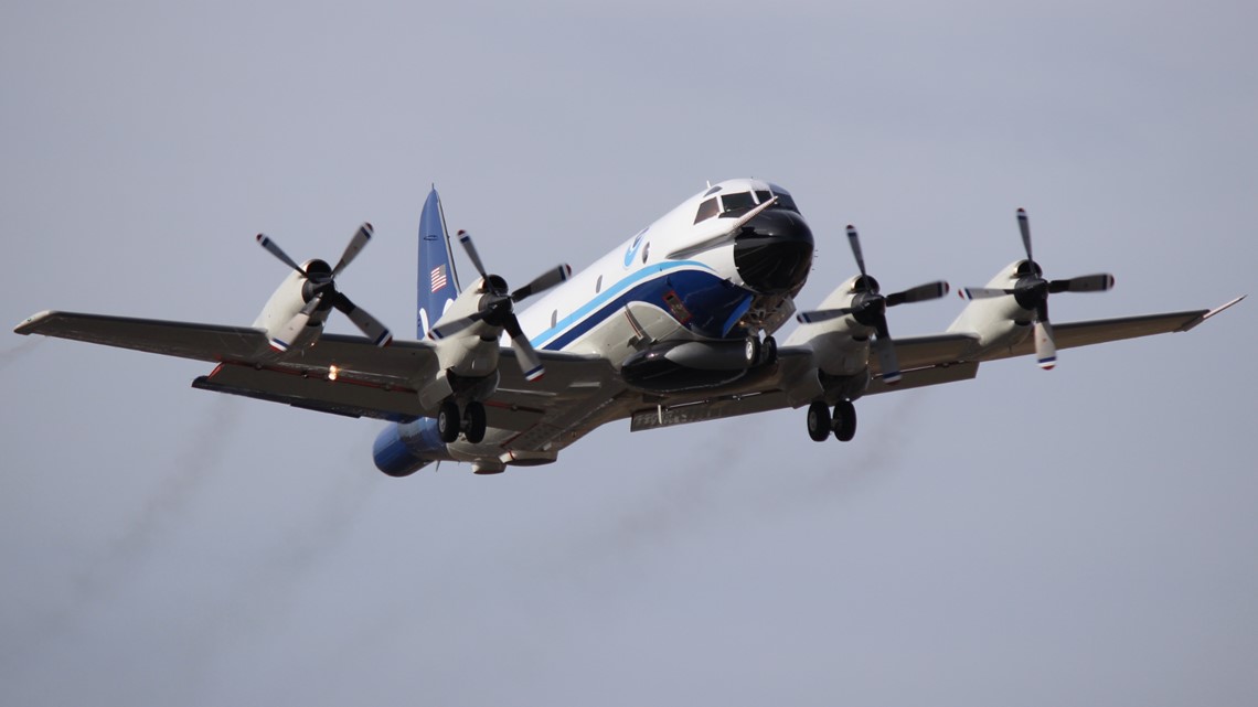
NOAA, or the National Oceanic and Atmospheric Administration, has two aircraft that are specifically built to fly into hurricanes. The Lockheed WP-3D Orion planes are the pre-eminent airborne atmospheric collection platforms, bar none across the entire world, and are based in our backyard at Lakeland Linder International Airport.
As these planes break through the eyewalls of Category 5 hurricanes with wind speeds greater than 157 mph, these planes and their crews are able to safely gather this critical forecasting data.
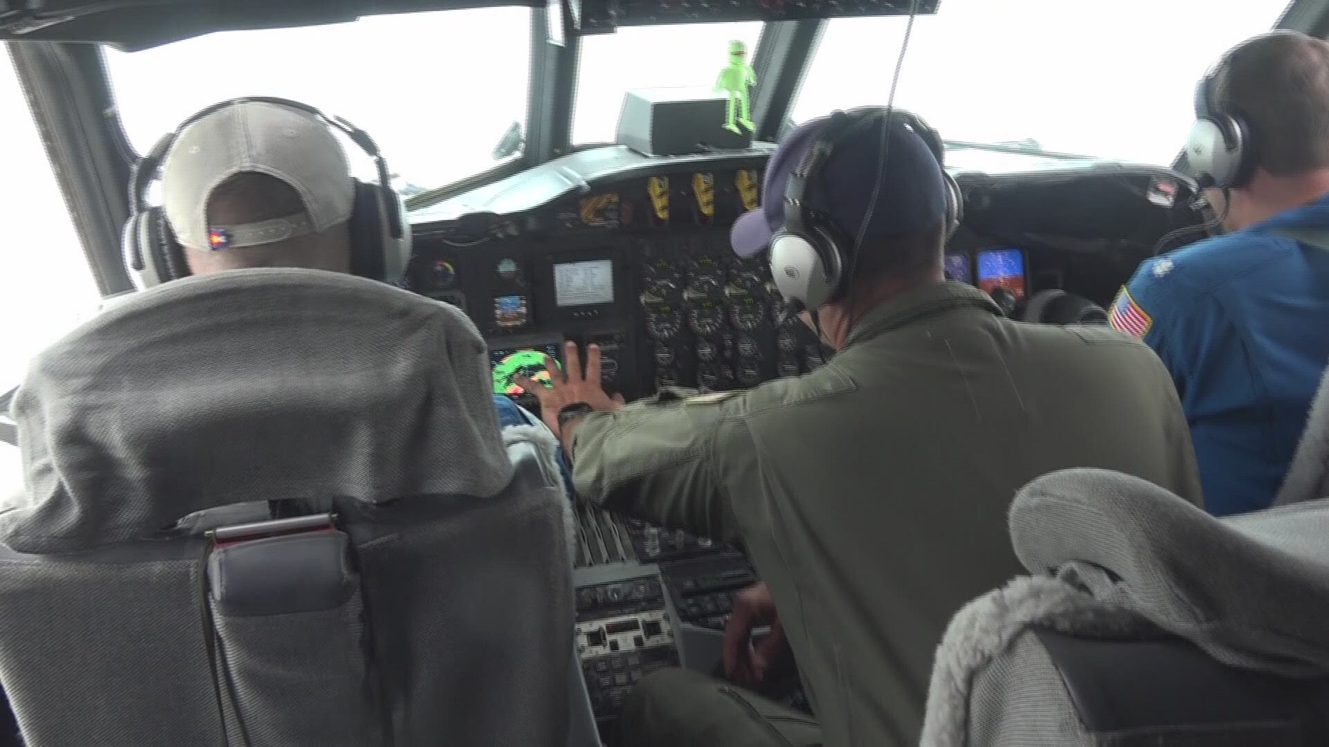
On board one of these Hurricane Hunter missions, there will typically be three pilots, a flight engineer, navigator, flight director (a meteorologist), two or three engineering/electronic specialists, radio/avionics specialists and up to 12 scientists.
Each of these people plays a key role in completing the mission.
The flight director, specifically, is responsible for two very important roles. The first is to be the principal advisor relating to the safety of the flight when it comes to weather.
This means that they are responsible for ensuring that the plane doesn’t fly into a part of the storm that would be too dangerous.
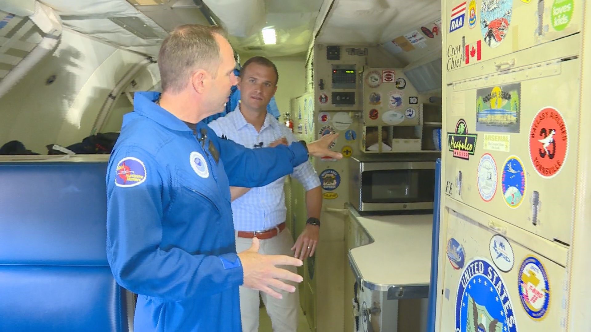
Step aboard a NOAA Hurricane Hunters' plane: It's a research lab and home away from home
Once safety is assured, the flight director then serves as the connection hub between the operation crew of the aircraft and the scientists who are looking for specific data. Their job is to communicate details between the two entities to make sure everyone is on the same page and the plane is flying in the correct location.
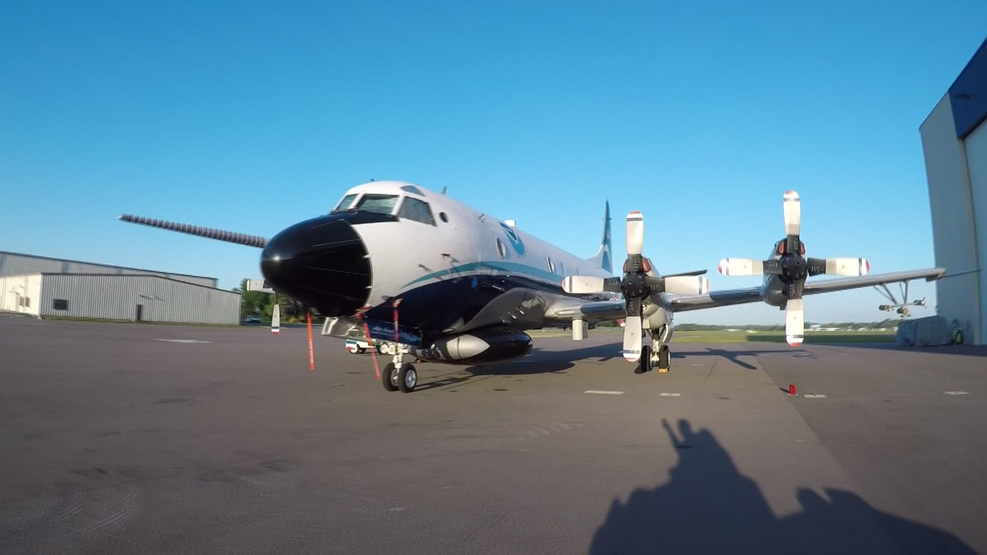
Both NOAA Hurricane Hunters aircraft are equipped with an array of weather instruments in addition to three on-board radars. The radars on the plane are located in the tail, the nose and under the fuselage.
The tail Doppler radar, or TDR, is able to visualize both the precipitation and the wind in the vertical and horizontal direction. As the plane flies along the flight track, it is able to record this data and instantly share this data to be used in real time to implement in forecast models.
Walk around with us: Take a tour around the Lockheed WP-3D Orion aircraft
Located on the belly of the aircraft is the lower fuselage radar. This radar is the key to safety during the flight. Having been recently upgraded, this brand new radar can look out 360 degrees around the plane while in flight.
The radar is able to see 120 miles out from the plane, meaning the radar is able to provide a 240-mile radius view of the storm.
And a new scan is available every three seconds!
The third radar located in the nose of the plane is used as a compliment to lower fuselage radar. Just like its counterpart, the nose radar is able to identify flight risks along the flight track associated with the storm. This allows the crew to effectively carve their way through the storm safely while still gathering necessary data.
In addition to the radars, there is a suite of instruments mounted to the exterior of the airplane that record temperature, dew point, pressure, wind speed and direction. An instrument called the Stepped Frequency Microwave Radiometer, or SFMR, is able to measure the wind speeds at the surface of the ocean. Without actually flying along the surface, this downward facing instrument is able to read the backscatter microwave radiation from the ocean and convert it into the wind speed.
This allows scientists to have a continuous gauge of the wind speeds of the storm at any given time.
Also attached to the wind of the aircraft is a cloud physics probe. This important instrument is able to measure the size of the water droplets in the atmosphere down to the micron level.
Learning the density of how many water droplets are located within different parts of the storm can play an important role in understanding the current state of the storm and how it may be strengthening or weakening.
One final data gathering tool used by the NOAA Hurricane Hunters is an instrument called a dropsonde. At predetermined points along the flight path, this device is dropped from the aircraft. Finding the exact location of where to drop the instrument requires precise coordination between the scientists on board with the dropsonde operator.
In fact, all of the other tools and instruments onboard the aircraft are used in real-time to surgically find the correct point to make the drop.
Once the dropsonde exits the plane, a parachute releases. The instrument then drops down through the storm, recording things such as temperature, pressure, humidity and wind speed and direction.
It will take about 3-4 minutes for the dropsonde to reach the ocean, at which point the data can be released to forecasters around the world.
'Miss Piggy' and 'Kermit': Naming the NOAA Hurricane Hunters aircraft
- "Miss Piggy" went in for upgrades March 2017 and returned to service December 2018.
- Kermit" went in for upgrades February 2014 and returned to service October 2016.
- Both of NOAA’s Lockheed WP-3D Orion aircraft underwent service-life extension programs.
- That includes upgraded engines, new wings, tail structural improvements, modernized avionics, and new-and-improved weather radar systems.
- The aircraft can fly more efficiently and longer than before, and with new-and-improved weather instrumentation and avionics upgrades, they can provide better data collection for NOAA and the nation.
- The cost for each upgrade was $20 million, for a total of $40 million.
"So you’d have one crew on Piggy and one crew on Kermit, and they had kind of a competition of who could keep the plane the nicest, who could fly the better storm or get in the storm and get the better data," Abitbol said. "As the story goes, one of the plane captains kept calling the other one a pig sty -- he aptly named it Miss Piggy.
"They started calling it, colloquially, and then it turned out that Jim Henson was very kind enough and eager enough to license us the names and the monikers and it’s been that way ever since."

