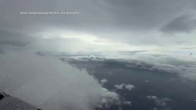
TAMPA, Fla. — Hurricane Helene has upgraded to a Category 4 storm and is projected to make landfall Thursday evening in Florida.
As Hurricane Helene tracks toward Florida's Gulf Coast, it's expected to bring "catastrophic" winds and storm surge to parts of the region, according to the National Hurricane Center. The NHC has issued hurricane and storm surge warnings for parts of Florida's Gulf Coast, including the Tampa Bay area, ahead of potential impacts from the storm.
"Helene is expected to bring life-threatening and catastrophic storm surge and damaging hurricane-force winds to Florida and inland across the Southeast," according to the National Weather Service. "Catastrophic and life-threatening flash/urban flooding, including landslides, is expected across the southern Appalachians. Considerable to locally catastrophic flash flooding is likely for northwestern and northern Florida and the Southeast."
Numerous hurricane watches and warnings have also been issued throughout Florida, but what's the difference between the two? The National Ocean Service has certain criteria that must be met before either one is issued.
A hurricane watch is issued when hurricane conditions, including sustained winds of 74 mph or higher, are possible in specific areas.
"A hurricane watch is issued 48 hours in advance of the anticipated onset of tropical-storm-force winds in an area," the service said. "During a hurricane watch, prepare your home and review your plan for evacuation in case a hurricane or tropical storm warning is issued."
A hurricane warning is issued when hurricane conditions are expected within an area. A hurricane warning is issued 36 hours before landfall to allow for plenty of preparation time.
"During a hurricane warning, complete storm preparations and immediately leave the threatened area if directed by local officials," the service said.


