ST. PETERSBURG, Fla. — Late winter and early spring can bring some great weather across the Tampa Bay region, leading many to the beaches.
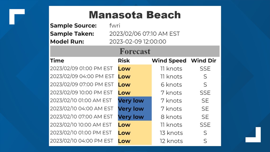
But red tide is still hanging around some area beaches, and the latest forecast from NCCOS (National Centers For Coastal Ocean Science) is forecasting red tide levels to increase over the next 36 hours.
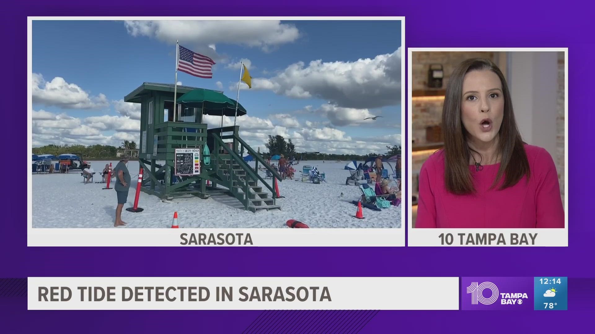
NCCOS releases forecasts for HAB (Harmful Algal Blooms) across the Gulf of Mexico. Its Thursday morning forecast shows some beaches in Charlotte, Lee and Sarasota counties may experience a moderate to high risk of respiratory irritation from red tide.
Below is a forecast for Longboat Key and Manasota beaches for red tide over the next 36 hours.


Lower levels of red tide are forecast to be present along Manatee and Pinellas counties, but those low levels could also be enough to cause respiratory irritation.


One of the reasons why red tide is forecast to be higher over the next 36 hours is the fact that we will be seeing onshore winds pushing the red tide closer to the coast.


Winds are expected to be increasing out of the south mainly for Friday, which could move some of the red tide across southwest Florida further north. Then on Saturday, winds will be blowing onshore from the southwest ahead of an approaching cold front. Behind the front, winds will be very gust out of the northwest for Sunday.
Because of that, temperatures will fall from the 80s into the 60s for highs.
It's not the best beach weather for this weekend, anyway, with rain chances Saturday and cold temperatures Sunday. For a deeper look at the weekend forecast, click here. We will see a nice warm-up next week getting back into the 70s and 80s.

