ST. PETERSBURG, Fla. — We have the coldest weather pattern since January impacting us in Florida right now.
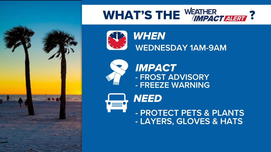
For the second consecutive morning, the Tampa Bay area had frosts and freezes on Tuesday just north and east of Tampa. We are not done with the cold yet, either. Keep the winter jackets handy as our coldest morning comes in on Wednesday, prompting a Weather Impact Alert:

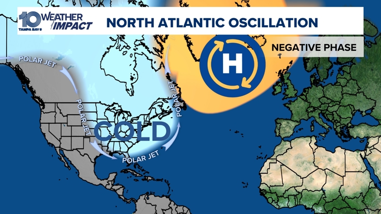
The cold has an extra bite to it that we are not used to here in Tampa. It can be traced to what is happening in the Northern Atlantic Ocean.
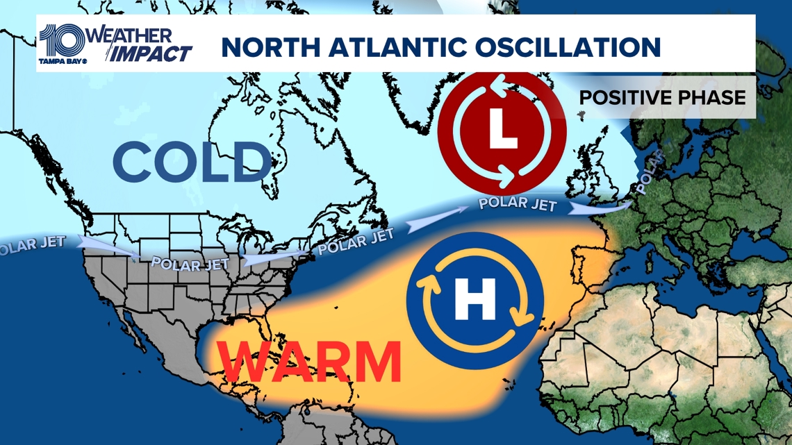
Meteorologists track pressure differences between the Azores Islands and Greenland. Normally, we have an Icelandic Low in place to the north and a semi-permanent high pressure to the south. The polar jet stream that separates the polar air from the much warmer air is more zonal and moves west to east, with your coldest air north of the Arctic Circle. This is called the positive phase of the North Atlantic Oscillation.

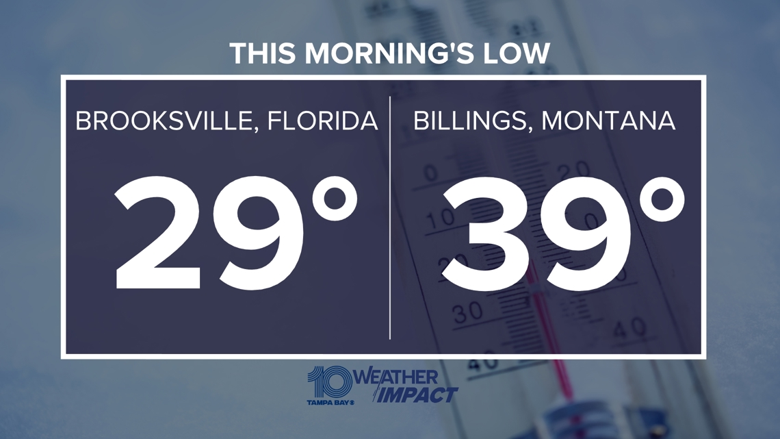
If you’re experiencing colder-than-usual conditions, it’s likely because the NAO is in a negative phase. During this phase, the weakened pressure difference between the Azores High and Icelandic Low allows cold Arctic air to spill southward into regions that would otherwise experience milder temperatures, like here at home. Other areas that are normally colder than Florida are actually warmer right now.

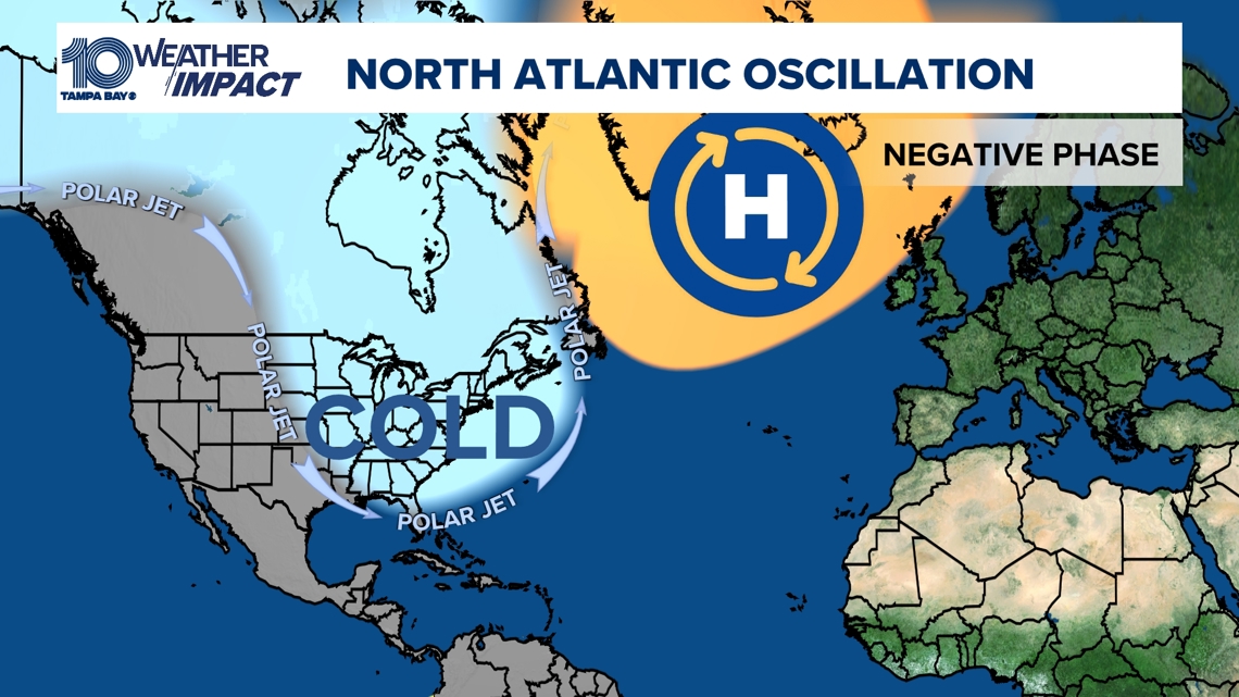
Check out these temperatures from Tuesday morning! The jet stream becomes more erratic, which can lead to the prolonged intrusion of cold air masses into places like Europe and the eastern U.S. and warmer weather in places like Montana.

In short, the NAO’s negative phase can set the stage for extended periods of cold weather due to the altered jet stream pattern and increased influx of cold Arctic air into lower latitudes. This means bundle up Tampa Bay! Expect another cold night and day on the way.

