ST. PETERSBURG, Fla — Following a multi-day "power nap" during peak hurricane season, there is now some activity in the tropical Atlantic.
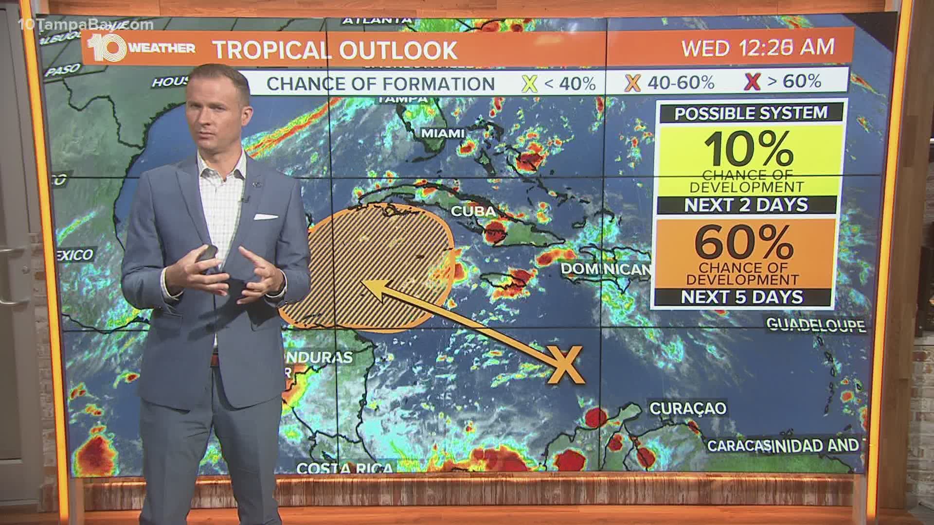
The National Hurricane Center (NHC) highlighted a new area to watch in the western Caribbean Sea on Sunday, giving the disturbance a low chance of development.
However, the NHC has since increased the odds of development within the next five days to a medium or 60-percent chance.
A few models do pick up on this area, but there is still a lot of uncertainty. As for now, some model guidance suggests that it will linger in the Caribbean for much of this week while continuing down a west-northwest path.
Climatologically speaking, we tend to see tropical development in this area during the month of October. We will have to keep our eye on this potential system over the next several days.
We have had 23 named storms this year, including two Greek letter storms. The next storm will be named Gamma.
- Lightning head into Game 6 looking to become Stanley Cup Champions
- Judge postpones Trump ban on popular app TikTok
- NY Times: Trump paid $750 in US income taxes in 2016,2017
- People with long-lasting COVID-19 symptoms are being diagnosed with other illnesses
- Bucs announce plan to welcome back fans for home games
- FHP: Woman stabs boyfriend on I-4, then is hit and killed by truck
- Results of climate change: Warmer world, stronger storms
►Breaking news and weather alerts: Get the free 10 Tampa Bay app
►Stay In the Know! Sign up now for the Brightside Blend Newsletter

