ST. PETERSBURG, Fla. — The next tropical system in what already has been an active 2020 Atlantic hurricane season has formed.
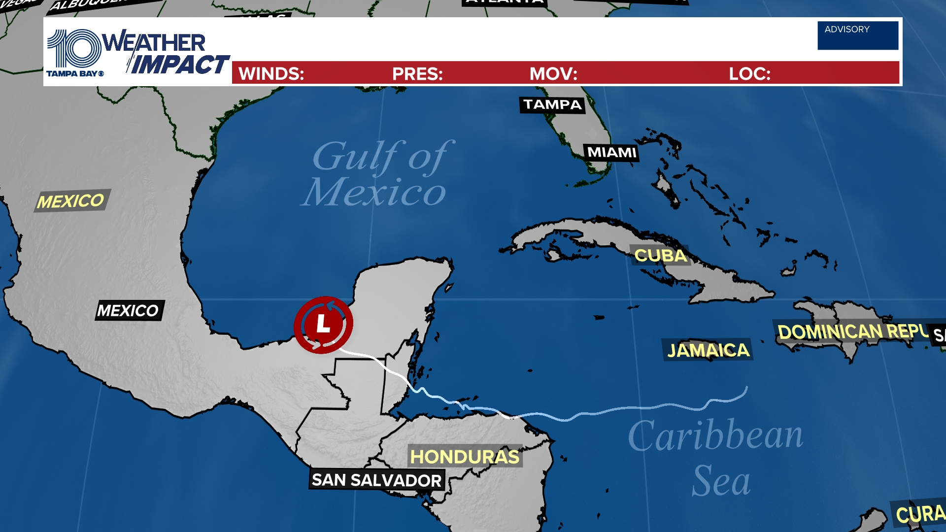
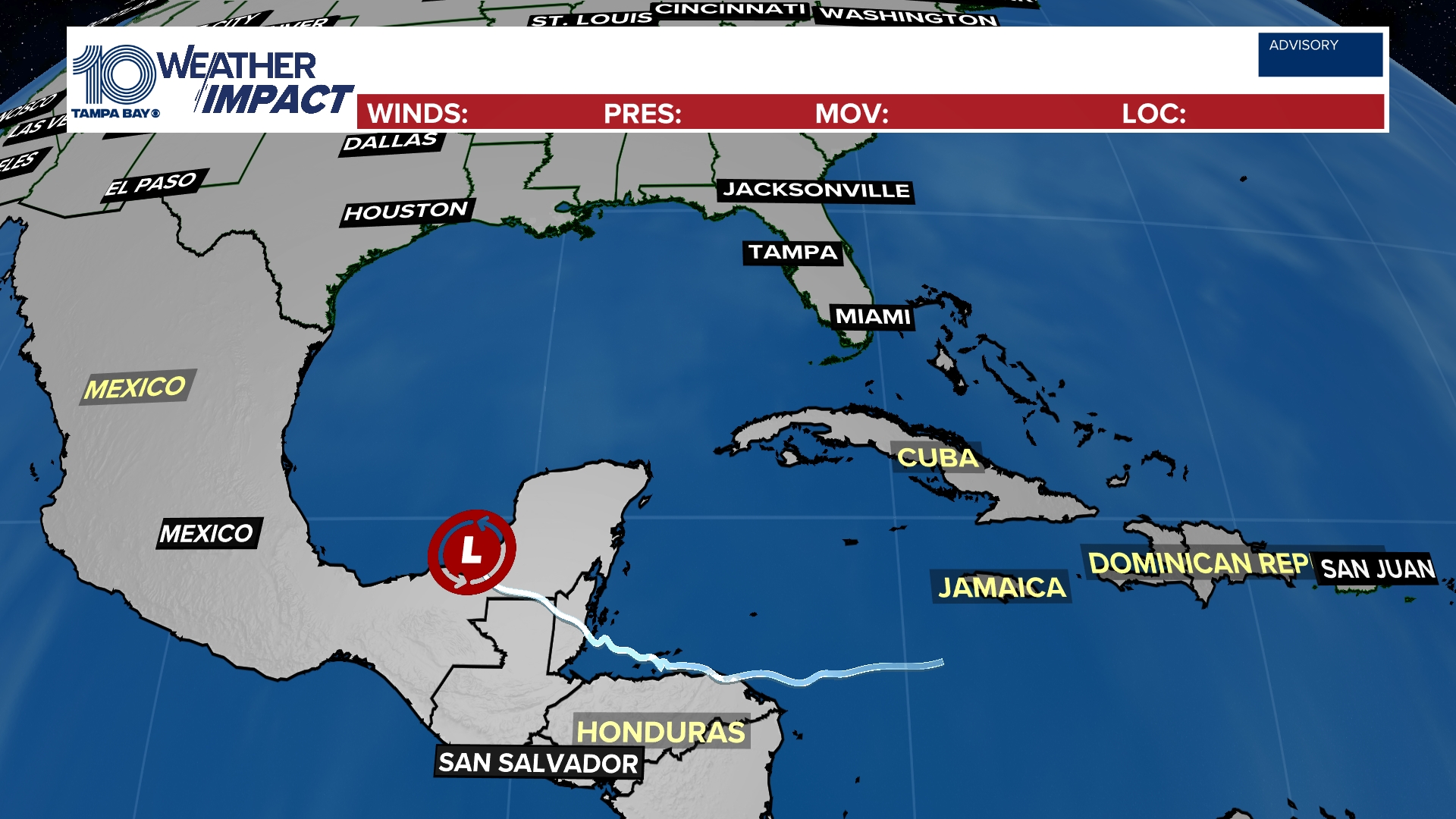
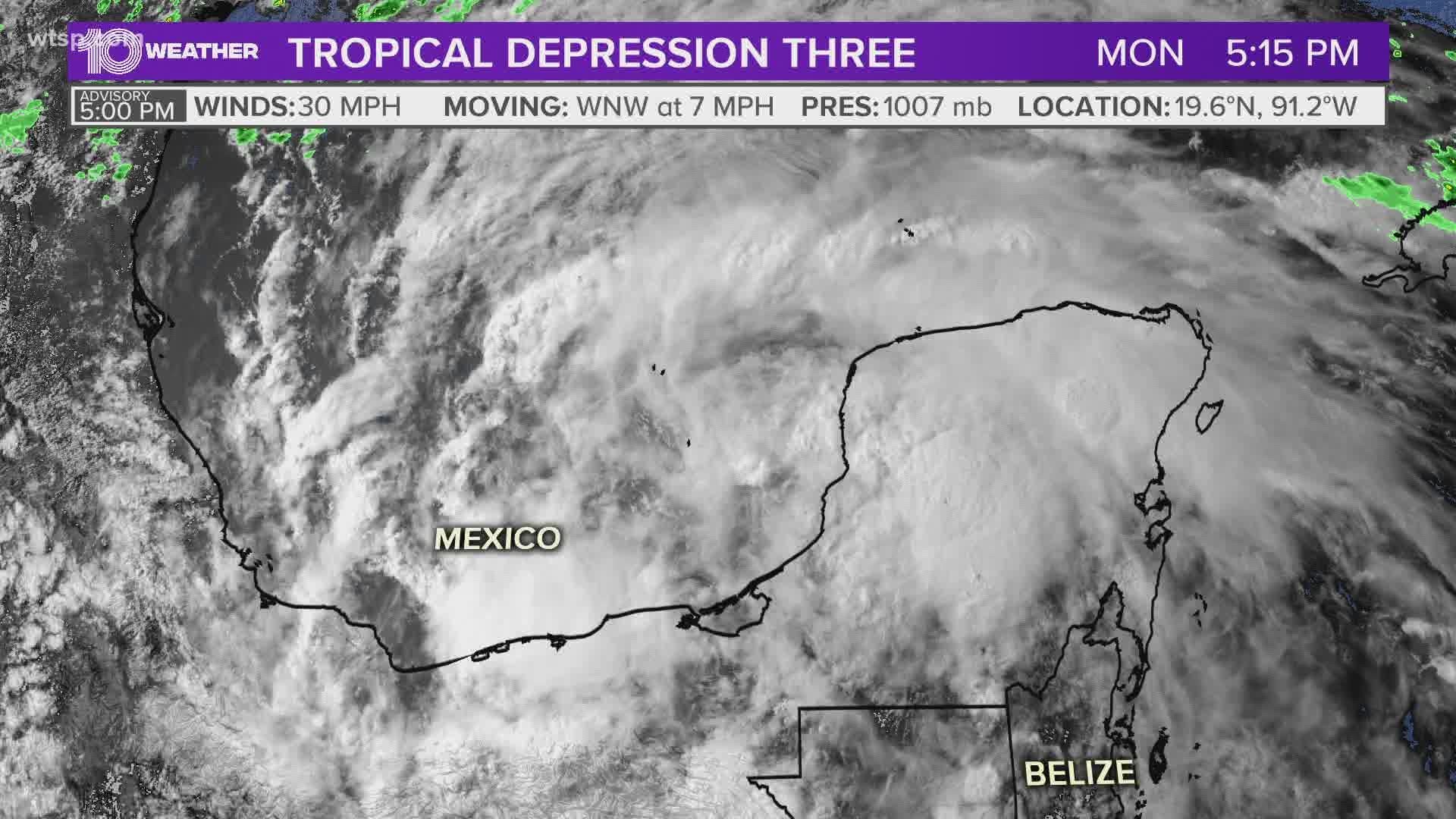
Tropical Depression Three is located in the Bay of Campeche, and it's expected to hang around through at least midweek, according to the National Hurricane Center.
This slow-mover will dump at least a foot of rain across parts of Mexico and Guatemala as it meanders about the bay. Forecast models do show it eventually working its way into the Gulf of Mexico.
This tropical cyclone is associated with the remnants of Tropical Storm Amanda, which developed late last week in the Pacific Ocean. If the system becomes a tropical storm -- and it is expected to -- it will be named Cristobal.
While Florida might so far not be within the system's cone of uncertainty, the system will help to draw up a good deal of tropical moisture. This could lead to flooding rains across parts of the state and Tampa Bay area.
Stay tuned to later forecasts as that threat develops.
Tropical track
This is the latest "cone of uncertainty," which shows an area where the center of the system could go, when and how strong it might be at the given time.

Spaghetti models
Each line represents a computer model's best "guess" of where the center of the system will go. Together, they look like "spaghetti." Remember, impacts from a tropical system can and do occur miles away from the center.

What other people are reading right now:
- What you need to know about Tampa's curfew
- George Floyd's son denounces violent protests, says they are 'not going to solve anything'
- St. Petersburg police arrest 14 people following protests
- More than 20 people arrested in Tampa after Sunday protests
- Minneapolis police: No evidence yet that semi driver intentionally drove into protesters
- Gov. Ron DeSantis deploys 100 National Guard members to Tampa
FREE 10 TAMPA BAY APP:
►Stay In the Know! Sign up now for the Brightside Blend Newsletter


