TAMPA, Fla. — It is surely active in the tropical Atlantic as we near peak hurricane season.
As of Saturday morning, the National Hurricane Center is monitoring four areas that either need to be watched for development or are active systems, including rapidly intensifying Hurricane Ida in the Gulf of Mexico and newly formed Tropical Depression Ten.


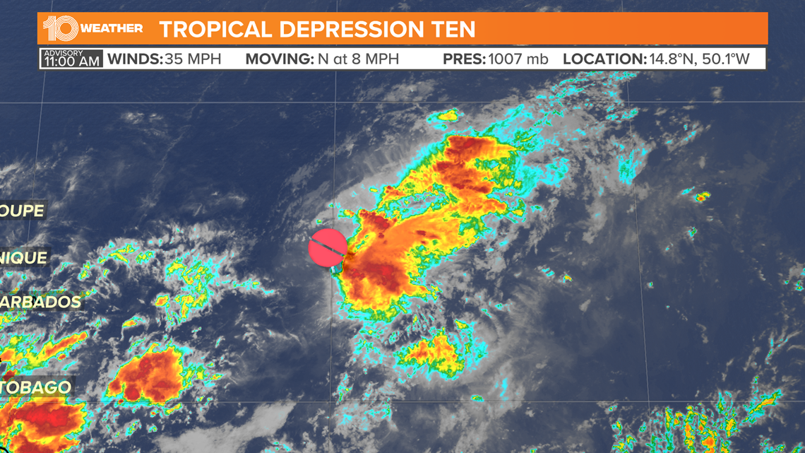
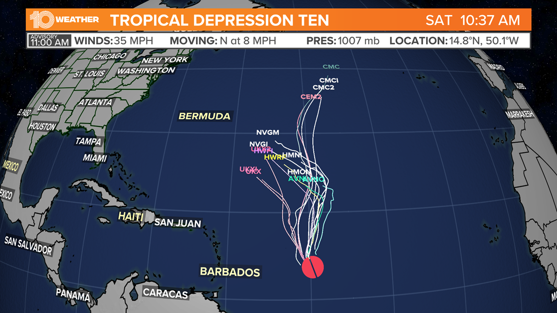
Ten is still greatly disorganized as of Sunday with winds of 35 mph. It is heading north near 10 mph. through the open waters of the Atlantic and is about 790 miles east of the Leeward Islands.
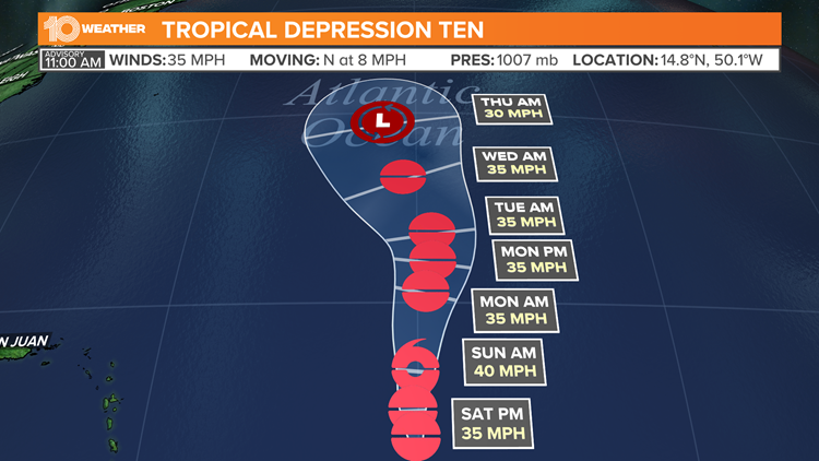
The depression is forecast to slightly strengthen to our next storm Sunday which will be named Julian. The potential storm is harmless and is expected to stay out at sea, posing no immediate threat to land.


Upper-level winds are expected to weaken the storm back to a depression within the upcoming days.


