ST. PETERSBURG, Fla. — Just one day after Tropical Depression 20 formed in the central tropical Atlantic, the National Hurricane Center is projecting the storm could become a powerful hurricane during the next few days.
The storm is approximately 1,025 miles west of the Cabo Verde Islands and is moving west-northwest at 15 mph and showing sustained winds of 35 mph.
The depression is forecast to continue its track to the west-northwest during the next several days. The area of showers and storms is getting its act together, and according to the NHC.
At this time, Tropical Depression 20 is not a threat to Florida.
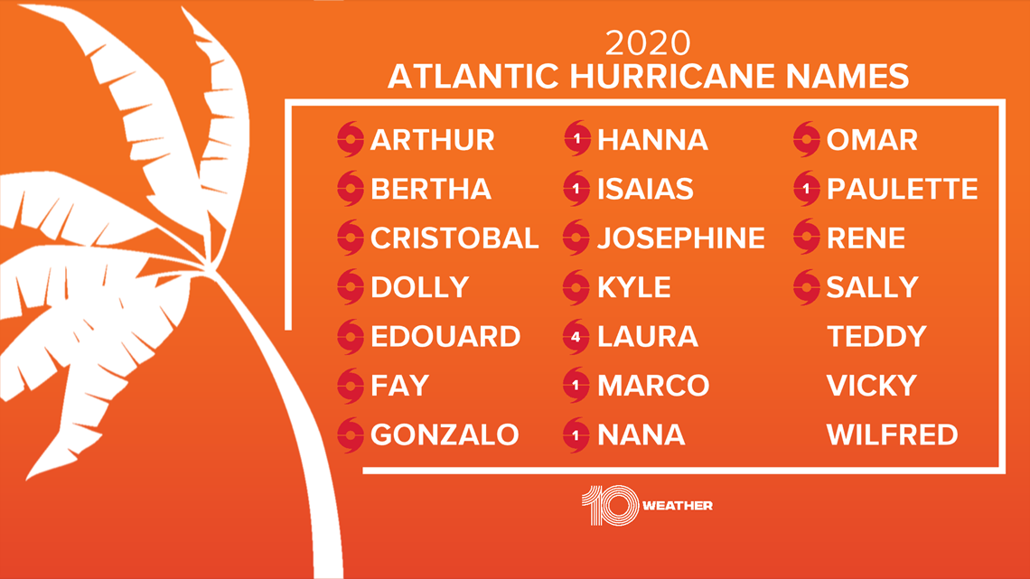
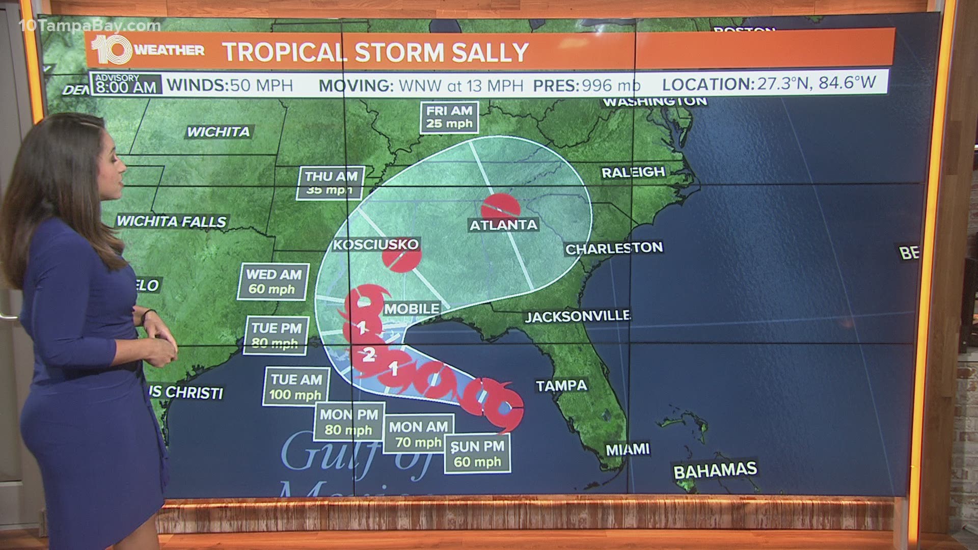
With the activity in the Atlantic, it is no surprise we are officially in peak hurricane season. In addition to Tropical Depression 20, there are three named tropical systems, Sally, Paulette and Rene, churning in the Atlantic and multiple areas of interest in the tropics.
The next name on the 2020 Atlantic Hurricane Season's list is Teddy. The record for the earliest named “T” storm is Tammy on Oct. 5, 2005.


The National Oceanic and Atmospheric Administration (NOAA) updated its 2020 hurricane season forecast earlier this month, indicating one of the most active seasonal forecasts that NOAA has produced in its 22-year history of hurricane outlooks.
The updated forecast calls for 19-25 named storms, 7-11 hurricanes and 3-6 major hurricanes. This includes the 18 storms and six hurricanes we’ve already seen.
►Breaking news and weather alerts: Get the free 10 Tampa Bay app
►Stay In the Know! Sign up now for the Brightside Blend Newsletter

