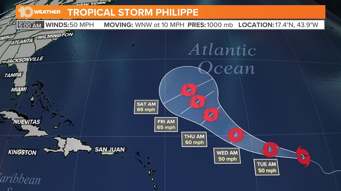
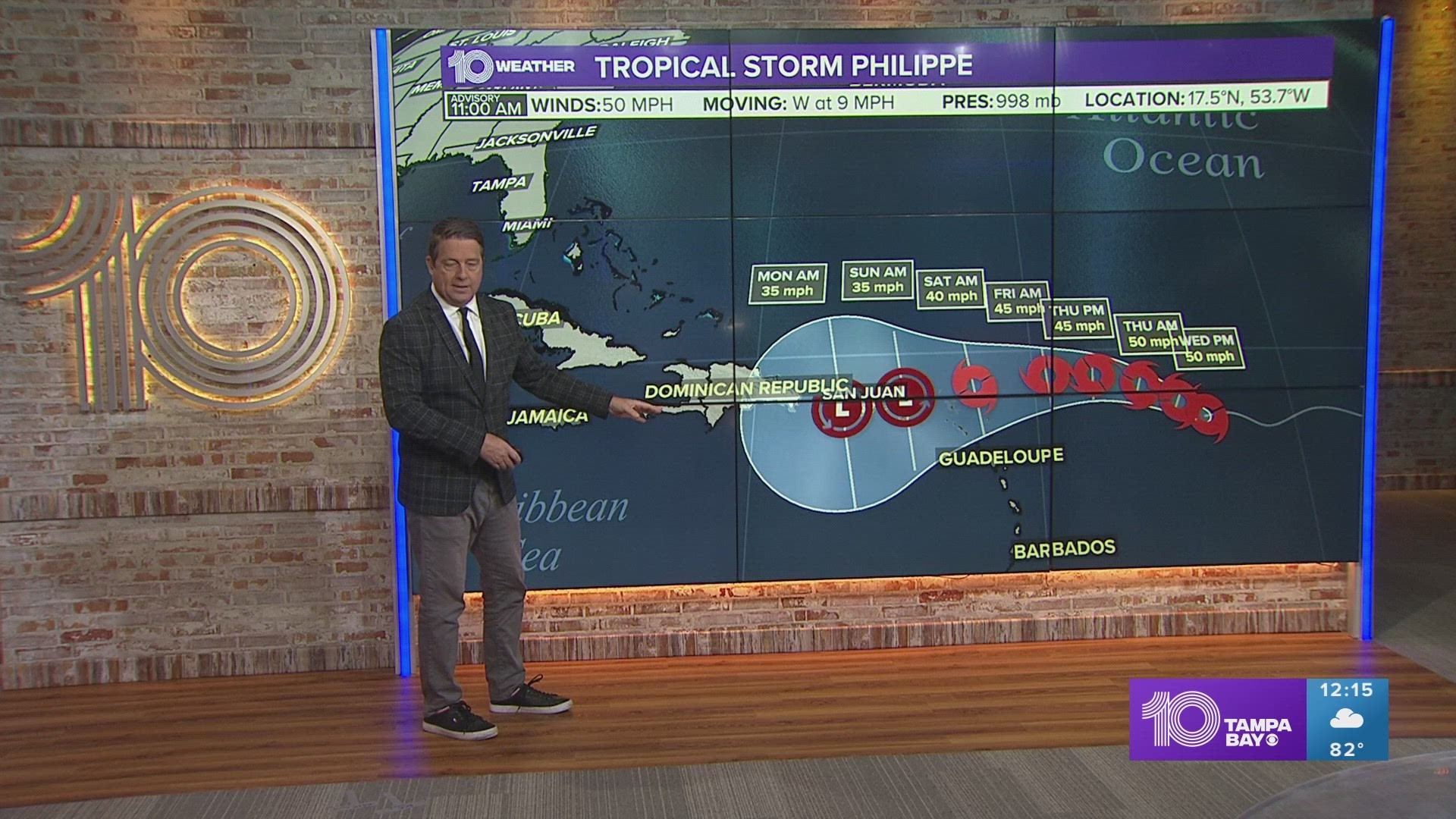
ST. PETERSBURG, Fla. — Tropical Storm Philippe became the season's next named storm over the weekend, according to the National Hurricane Center.
According to the hurricane center, the tropical storm is about 1,265 miles east of the Northern Leeward Islands with maximum sustained winds of 50 mph. The storm is moving west-northwest at 10 mph.
Because Tropical Storm Philippe is more than 1,200 miles from land, there are currently no coastal watches or warnings in effect.
Currently, forecast models aren't in agreement, giving forecasters an unclear look at Philippe's future. Some models suggest the tropical storm will gradually strengthen over the next seven days, while others indicate it could weaken.
Regardless, 10 Tampa Bay's Hurricane Headquarters will continue tracking the storm and bring you the latest updates.


After bringing heavy rain and windy conditions to eastern North Carolina and parts of the East Coast over the weekend, Ophelia is now a remnant low and the NHC has stopped providing updates.
Elsewhere in the Atlantic, a low-pressure system is brewing several hundred miles southwest of the Cabo Verde Islands. This broad area of showers and thunderstorms has the potential to develop into a tropical depression by mid-week. Within the next seven days, the disturbance has a high 80 percent chance for development.
In the Gulf of Mexico, the NHC is monitoring an area of disorganized showers and thunderstorms over the southeastern portion of the Gulf. Right now, forecasters are expecting very slow development if it happens at all over the next week. There's only a low 10 percent chance of this disturbance to develop into a depression.

