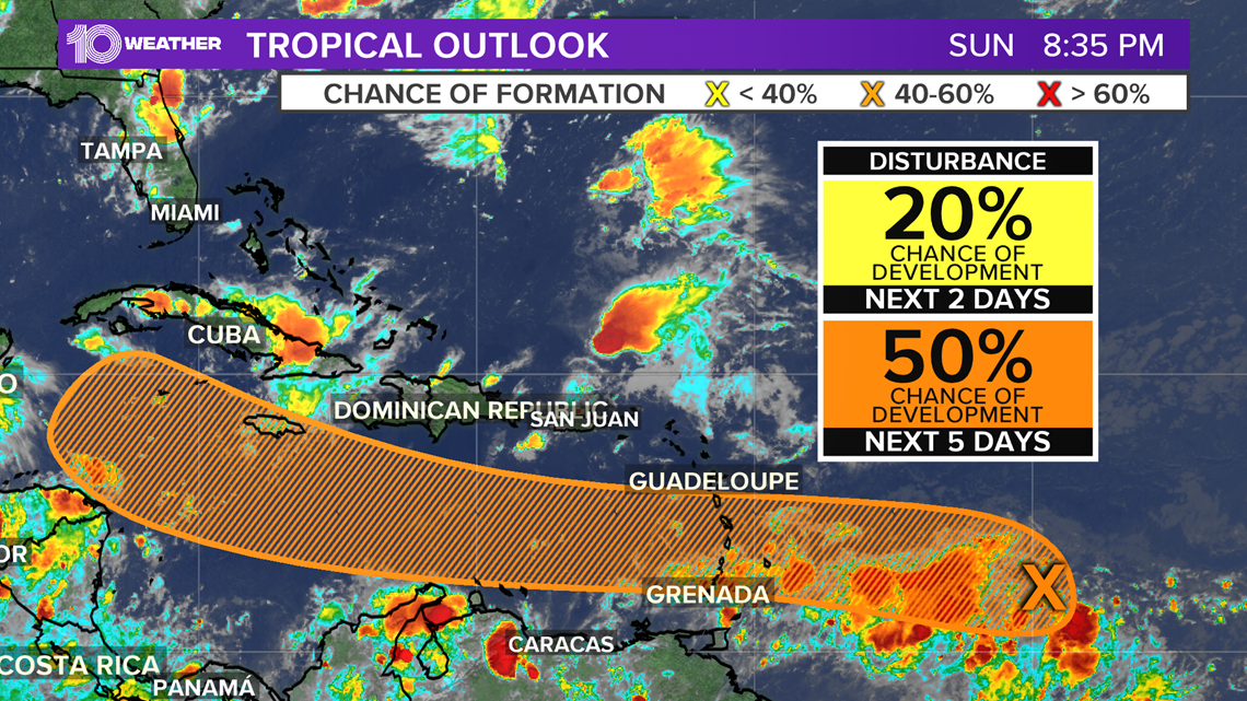
ST. PETERSBURG, Fla — As of Sunday afternoon, the National Hurricane Center is monitoring a tropical wave just southeast of what was Tropical Depression Josephine.
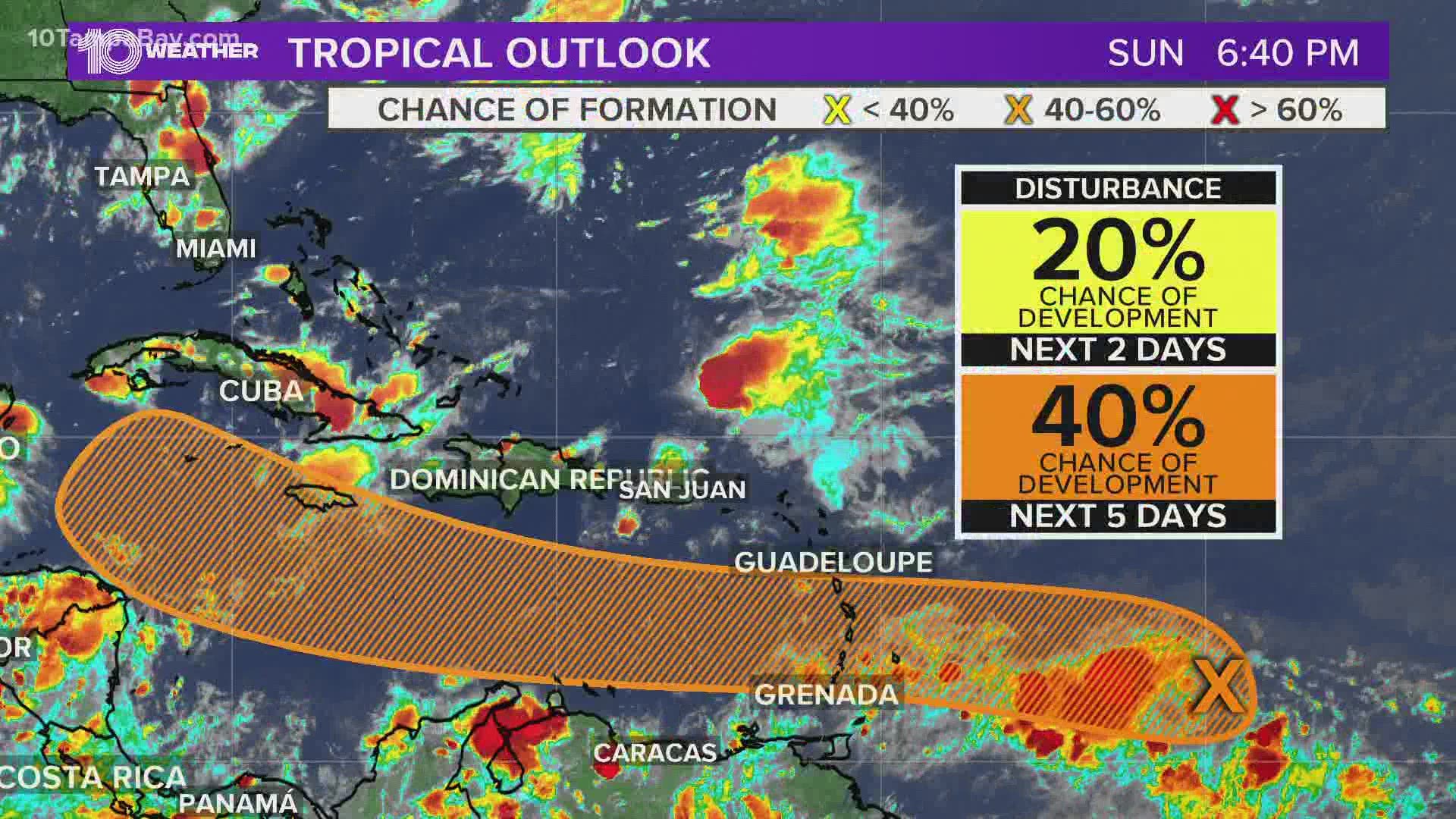
This area of low pressure located several hundred miles east of the Windward Islands is moving west and has a medium chance of becoming a tropical system within the next five days.
Shower activity is still pretty limited at this point. As it continues to head toward the Caribbean, there is a better chance for conditions to become favorable for development.


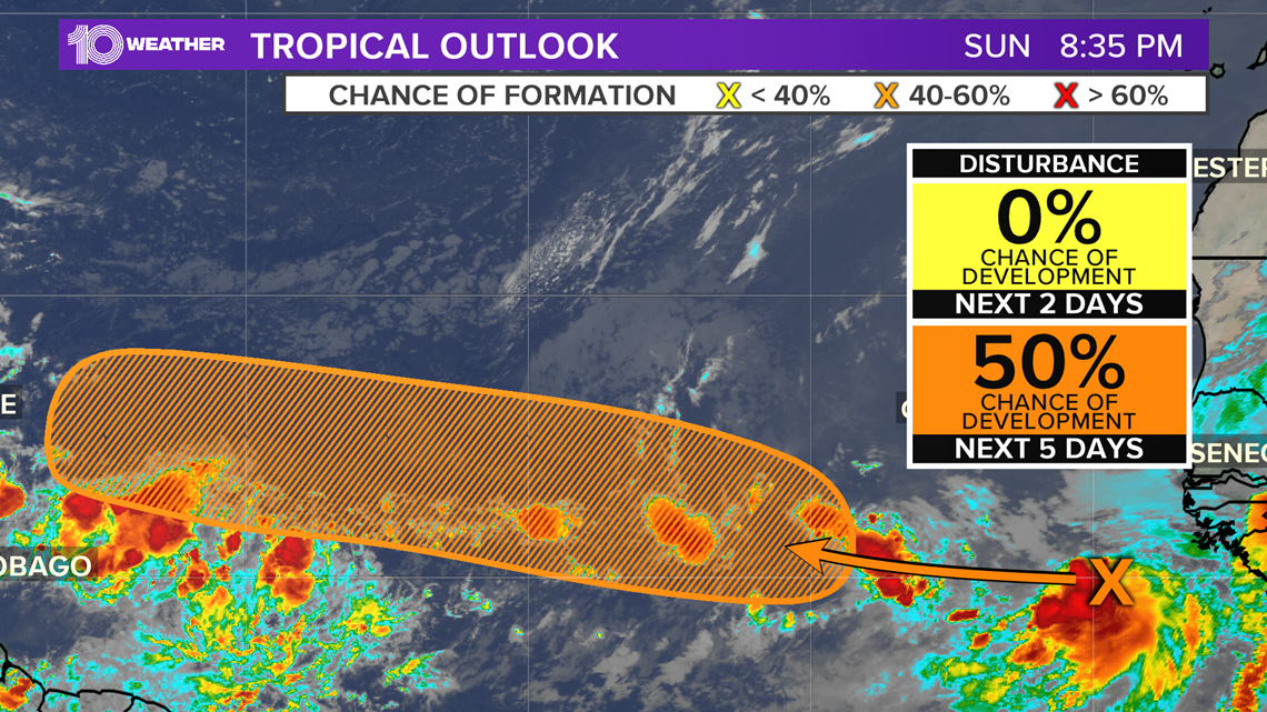
A second tropical wave also is catching the interest of the National Hurricane Center, with this one located just off the west coast of Africa. This disorganized cluster of rain and clouds will continue to drift west this week where conditions for development are limited over the next few days.
However, conditions in the central tropical Atlantic could help with organization by the middle to the end of the week.


These disturbances pose no threat to Florida at this time. However, both waves will move into more favorable conditions for development toward the end of the week.
The next name up on the Atlantic hurricane season list is Laura.
- Pinellas County Sheriff Bob Gualtieri tests positive for COVID-19
- Trump boat parade attempts to break world record in Clearwater
- Another 204 Floridians have died from COVID-19 as positive rate dips below 8%
- ‘How are we supposed to be safe’: Hillsborough county teachers concerned over social distancing
- Ways to avoid possible vote-by-mail delays
- Millions of dollars of used military equipment now in the hands of Tampa Bay area law enforcement
- Tropical Storm Josephine continues its track north of Caribbean islands
FREE 10 TAMPA BAY APP:
►Stay In the Know! Sign up now for the Brightside Blend Newsletter


