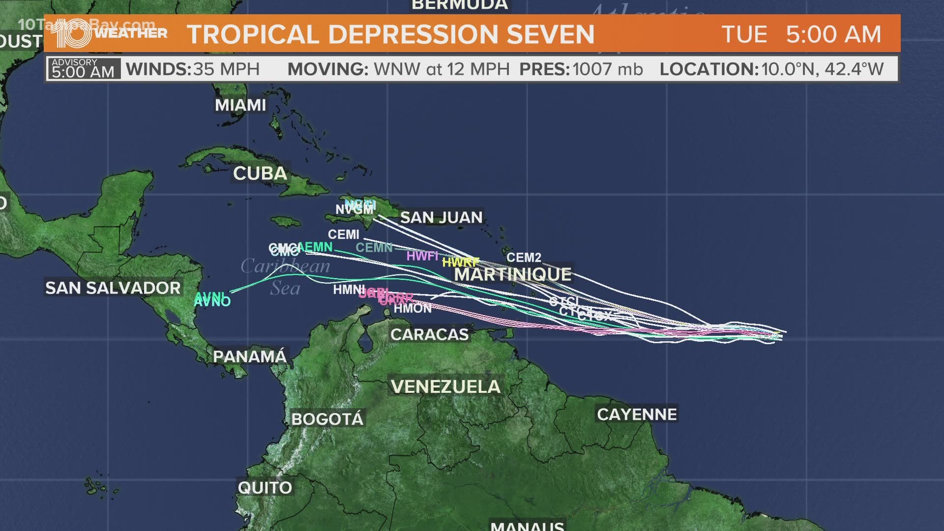
ST. PETERSBURG, Fla. — A tropical disturbance once labeled Invest 99-L is now Tropical Depression Seven.
The National Hurricane Center gave this disturbance the investigative status Monday with just a 20-percent chance of further development. However, by Tuesday afternoon, the storm quickly gained development chances and many models now project a developing tropical storm, possibly even a hurricane.
If named, it would become Tropical Storm Gonzalo. If it does become Tropical Storm Gonzalo before Thursday, as expected, it will become the earliest "G" named storm in Atlantic hurricane season history.
The current record is Tropical Storm Gert that developed on July 24, 2005.
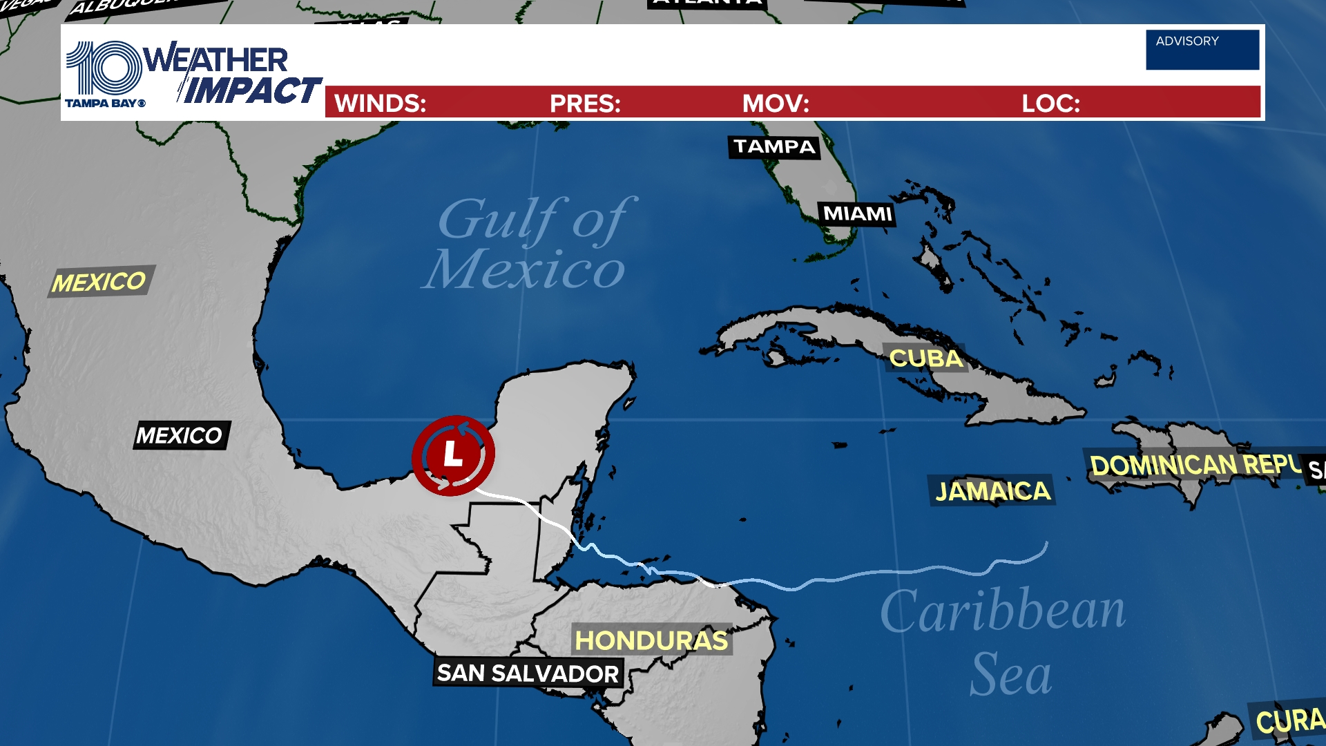
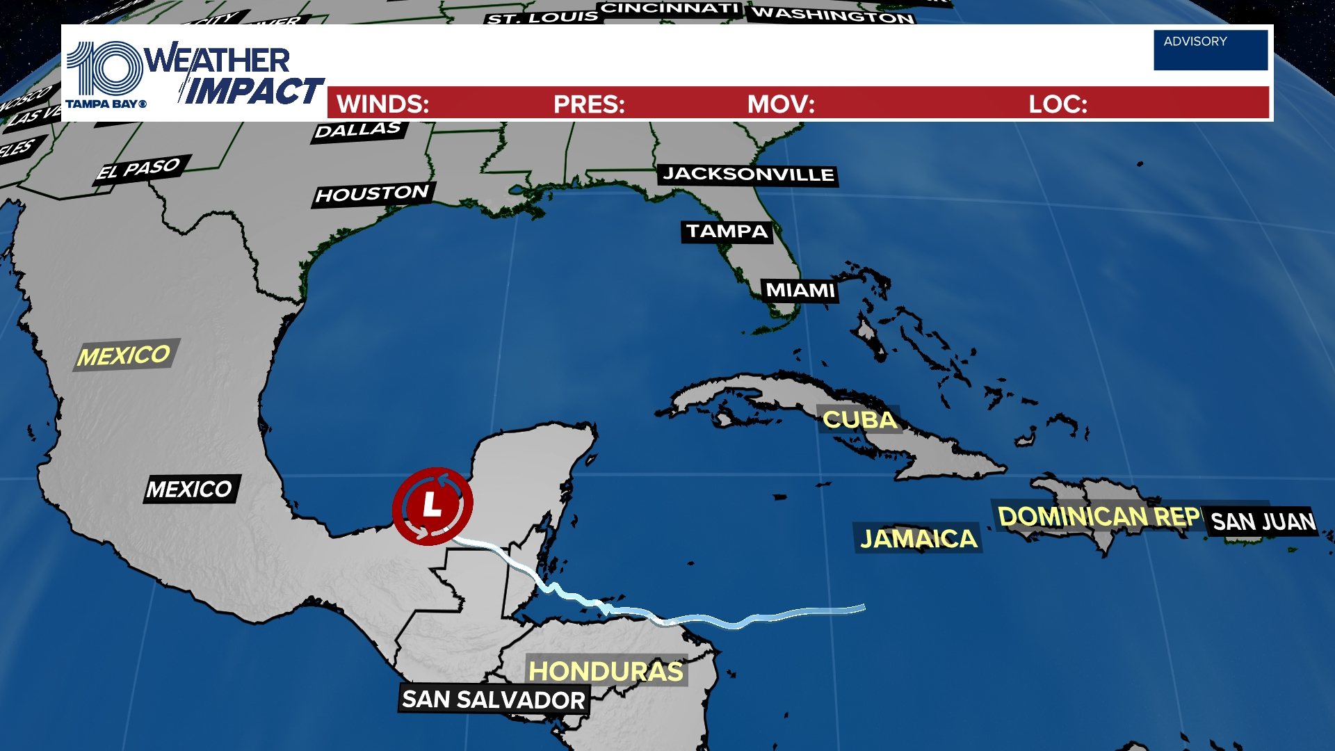
10 Tampa Bay meteorologists are also tracking Invest 91-L in the Gulf of Mexico. This storm is beginning to enter the Gulf of Mexico and will head toward Texas by the weekend.
It will encounter an environment with very warm water and little wind shear. However, the NHC only gives it a 40-percent chance of development over the next five days. This storm will be moving away from Florida.
Tropical track
This is the latest "cone of uncertainty," which shows an area where the center of the system could go, when and how strong it might be at the given time.

Spaghetti models
Each line represents a computer model's best "guess" of where the center of the system will go. Together, they look like "spaghetti." Remember, impacts from a tropical system can and do occur miles away from the center.

FREE 10 TAMPA BAY APP:
►Stay In the Know! Sign up now for the Brightside Blend Newsletter


