
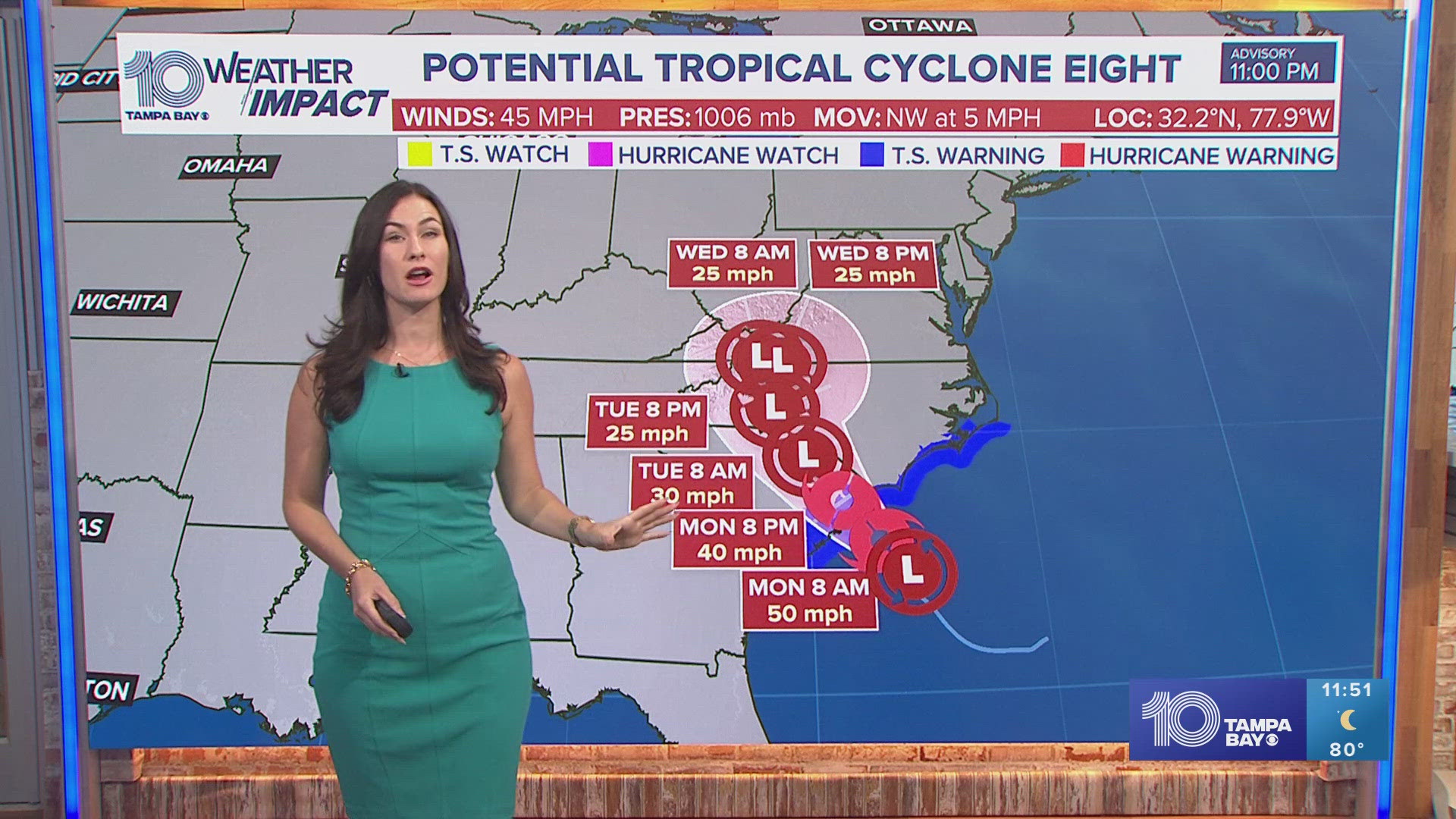
ST. PETERSBURG, Fla. — Potential Tropical Cyclone Eight has formed near the Carolinas, according to the National Hurricane Center.
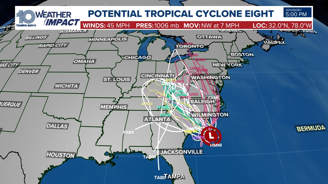
As of Saturday evening, the tropical disturbance is located about 125 miles east-southeast of Charleston, South Carolina. Maximum sustained winds are clocked at 45 mph with present movement at 7 mph.
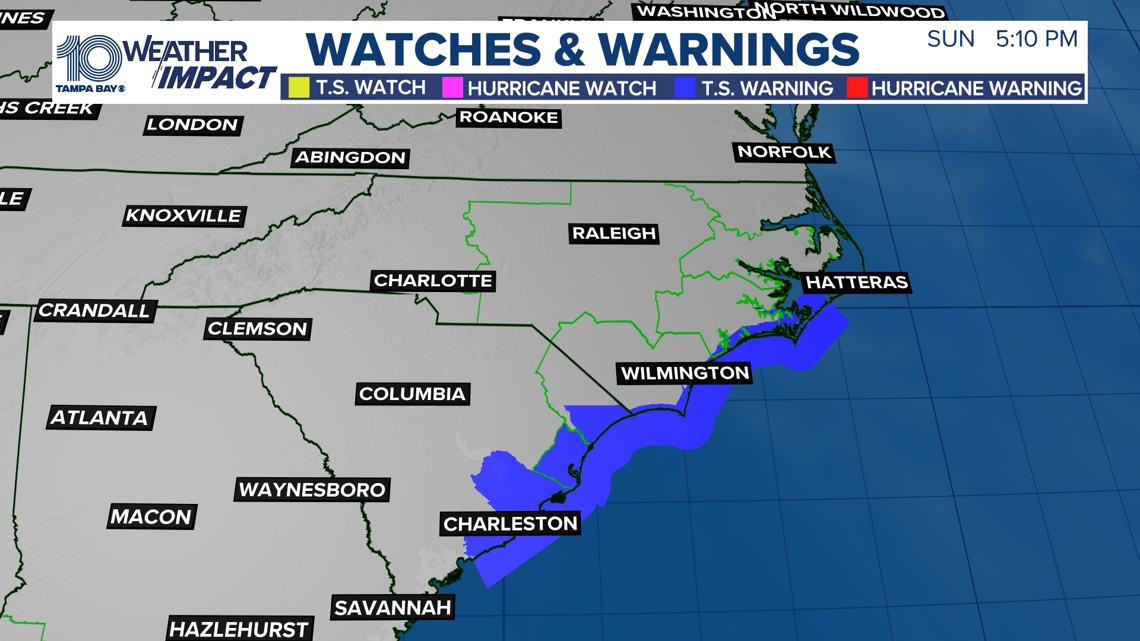
A Tropical Storm Warning has been issued for Edisto Beach, South Carolina northward to Ocracoke Inlet, North Carolina. Once the storm strengthens to Tropical Storm status, it will be named Helene.
Hazards affecting land from Potential Tropical Cyclone Eight include storm surge in the following areas:
- South Santee River, SC to Oregon Inlet, NC - 1-3 ft
- Neuse and Bay Rivers, NC - 1-3 ft
- Pamlico and Pungo Rivers, NC - 1-3 ft

The storm is also expected to bring 3-6 inches of rainfall with isolated totals near 8 inches across northern and northeast portions of South Carolina along with the North Carolina Coastal Plains. In addition, the rest of North Carolina and much of Virginia will see 2-4 inches of rain with isolated totals near 6 inches.
That rainfall could lead to scattered flash and urban flooding, as well as minor river flooding.
There is a threat for tornadoes Monday across eastern North Carolina and the storm continues inland.
Currently, there are no threats to Florida. Some outlier model data from spaghetti plots suggest the storm turns south towards the Florida peninsula, but most agree that the storm will remain well to our north.

To learn more about what a Potential Tropical Cyclone is, click here.