ST. PETERSBURG, Fla. — The National Hurricane Center (NHC) started tracking a disturbance Sunday that moved right over south-central Florida. That stormy spin brought some heavy rain, up to a half-foot in Hendry County, just east of Ft. Myers. That disturbance dissipated overnight Sunday night.
On Monday, the NHC started tracking a concentrated area of showers and thunderstorms called Disturbance 2. It's located just southeast of Florida, the central Bahamas and the Straits of Florida and is associated with a frontal system.
This disturbance is forecast to continue moving southward over central and western Cuba during the next couple of days and then move back northward on Thursday through Saturday.
Upper-level winds are expected to become marginally conducive for development by Thursday and Friday when the system is forecast to approach the Florida Keys and South Florida. But development, if any, would happen very slowly.
Regardless of development, locally heavy rainfall can be expected Monday night across portions of extreme southeastern Florida and the Florida Keys and over western Cuba on Tuesday and Wednesday.


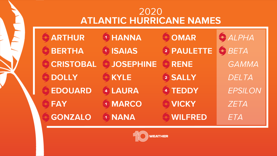
The NHC gives the Disturbance 2 just a 10-percent chance of tropical development. The next name on the 2020 Atlantic hurricane names list is Gamma.
►Breaking news and weather alerts: Get the free 10 Tampa Bay app
►Stay In the Know! Sign up now for the Brightside Blend Newsletter

