
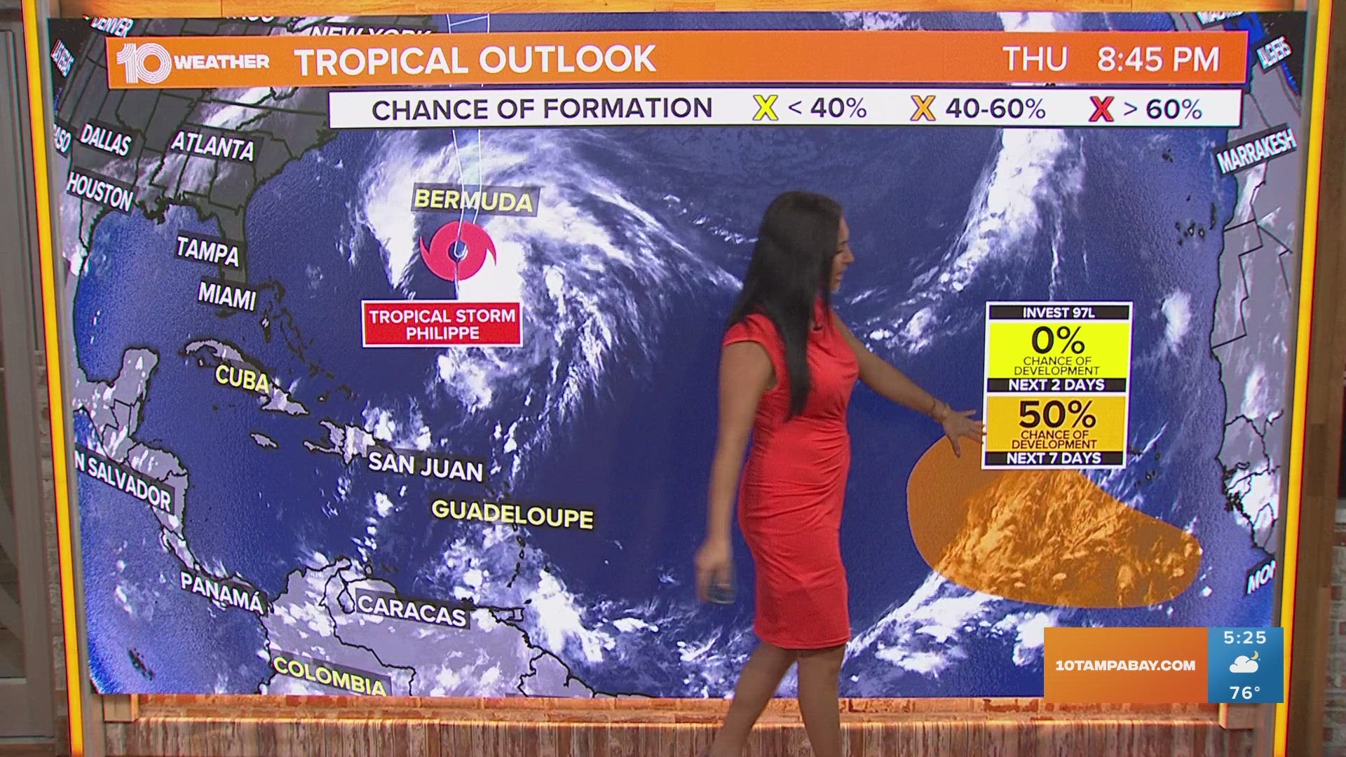
ST. PETERSBURG, Fla. — With a little less than two months to go before the end of hurricane season, here's a reminder not to let our guard down — we'll be watching an area for potential development over the next couple of days.
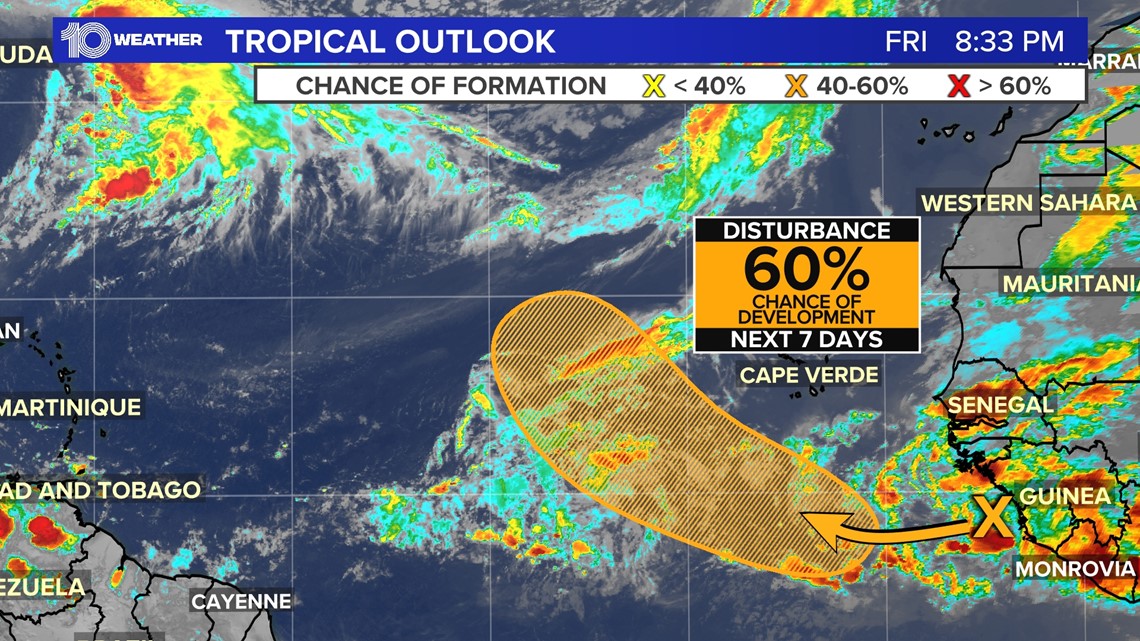
The first involves a tropical wave that's expected to move into the eastern Atlantic in the next two days. It has a 50% chance of development into a tropical system.
This disturbance could even form into a tropical depression by the middle of next week but is thousands of miles away from the U.S. and not a threat to Florida. Weather computer models show the system recurving back into the Atlantic after moving slightly westward in the next 10 days.

Back closer to home, we will be tracking an area of energy leftover from a tropical disturbance moving across Mexico from the eastern Pacific. The National Hurricane Center currently has an 80 percent chance of development for the disturbance in the Pacific.
Whatever is left of the system will pass over Mexico, near Mexico City, and bring unsettled weather across the western Gulf of Mexico. Because our flow is zonal, moving from west to east, some of the energy will approach Florida.

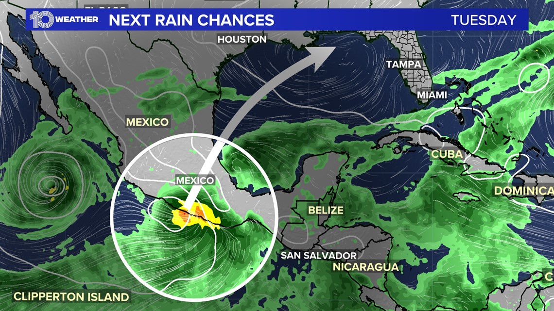
Right now most of the models show little to no tropical development. But it's not out of the question so it will be something to watch. The biggest impacts it will bring to the Tampa Bay region are very high humidity levels and plenty of moisture. High rain chances will be back in the forecast for Thursday and Friday.
That would be good news because we still need several inches of rainfall to help catch up after a very dry spring and summer.