TAMPA, Fla. — Hurricane season is coming to a close, but it isn’t over yet.
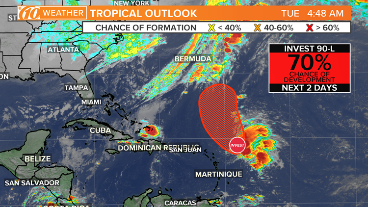
The National Hurricane Center is keeping an eye on an area of low pressure about 250 miles east-northeast of the northern Leeward Islands.
The area is producing some disorganized showers and thunderstorms and strong winds on its northeast side.
The NHC says this system could become a tropical or subtropical depression in the next two or three days. It has a 70-percent chance of development during the next five days.
The disturbance is forecast to merge with a frontal system after midweek and further development is not expected by that time, according to the NHC.
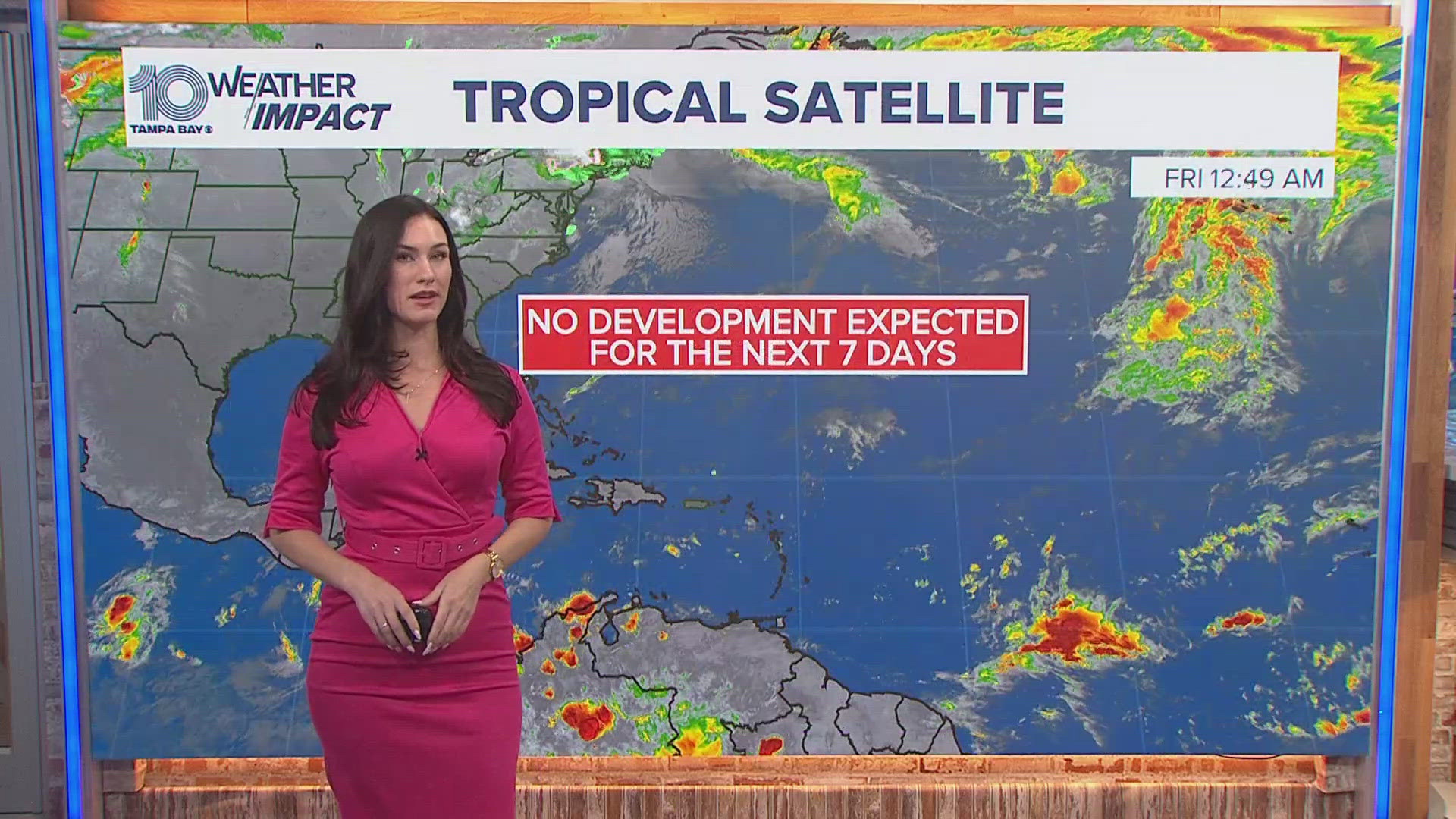
It is not expected to impact Florida at this time.
What other people are reading right now:
- Security guard shoots, kills man at Tampa nightclub
- Polk County firefighters working to put out large fire at a Lakeland recycling facility
- Bicyclist hit by car along Pinellas Trail. Police are searching for the driver
- Dog using porch to stay warm picked up by police
- Five Below starts selling items more than $5
FREE 10NEWS APP:


