ST. PETERSBURG, Fla. — The National Hurricane Center has begun issuing updates on Potential Tropical Cyclone Nine, expected to become a hurricane by midweek. TAP HERE for the latest.
Original story:
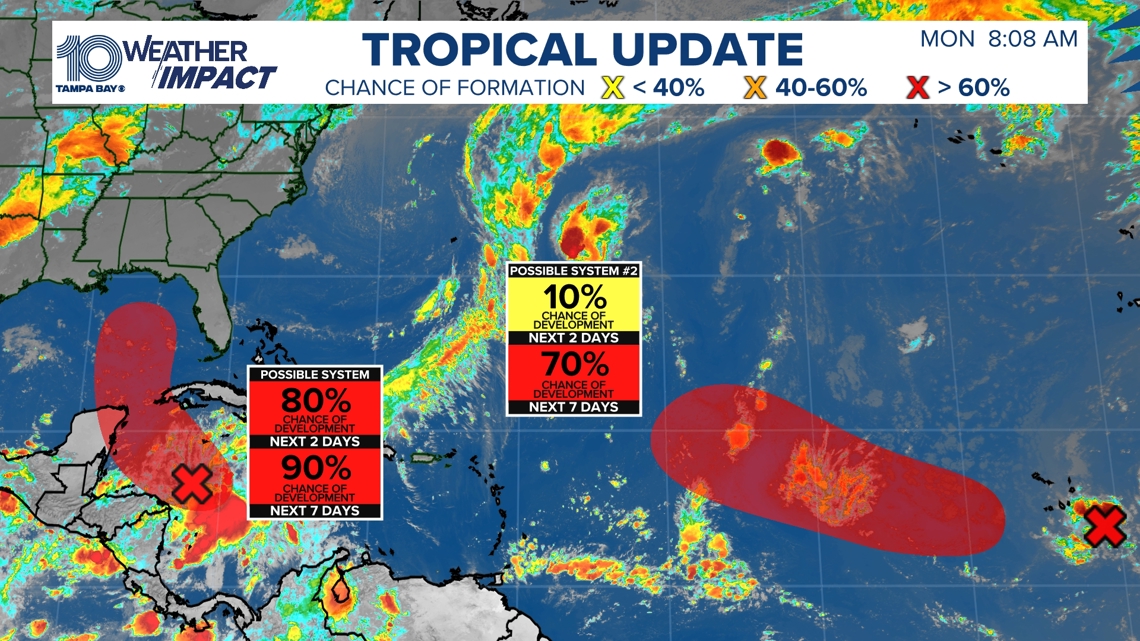
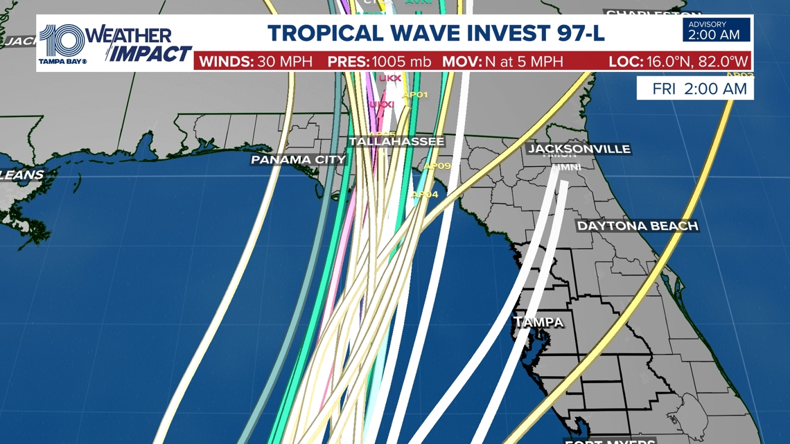
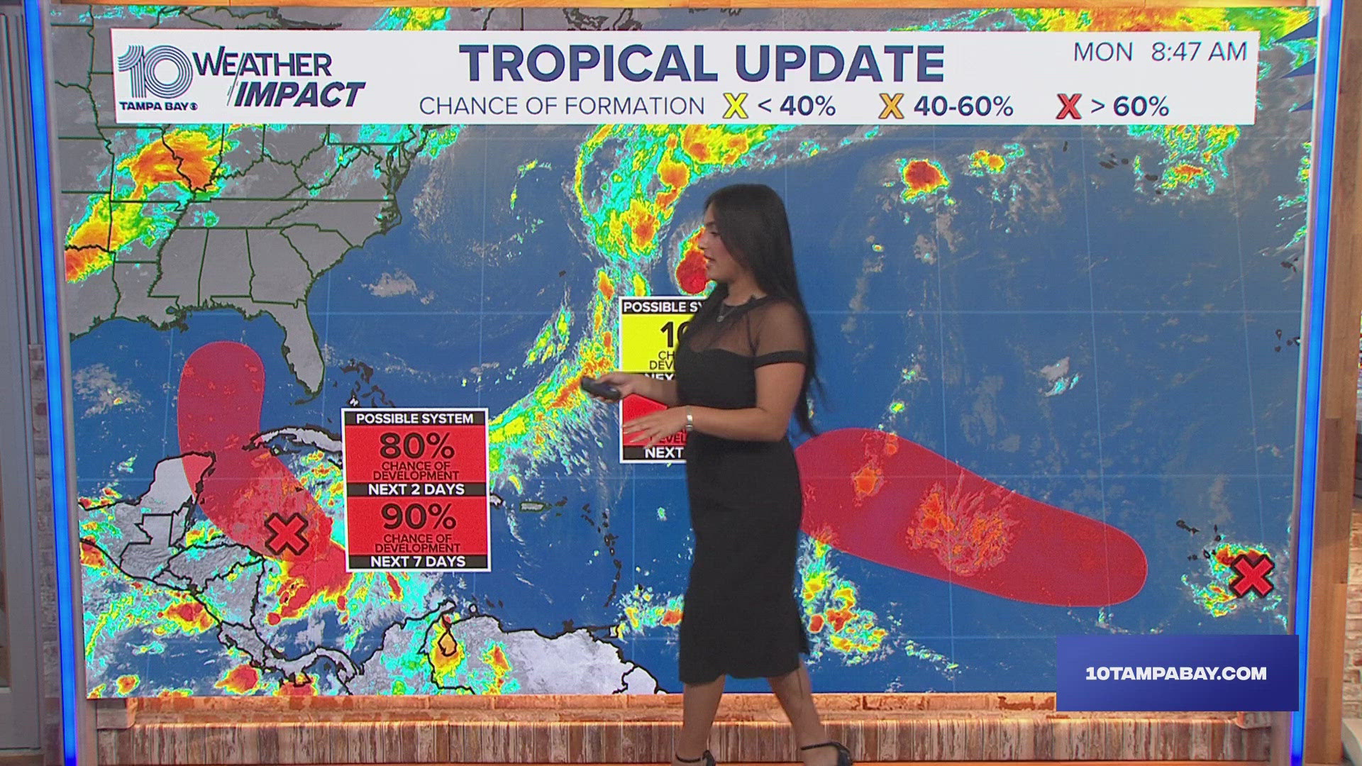
The National Hurricane Center has tagged an area of disorganized showers and thunderstorms located over the northwestern Caribbean Sea as Invest 97L.
This means this disturbance is being closely monitored for further development with the potential of becoming a named system within the next 48 hours. The next name on the list is Helene.


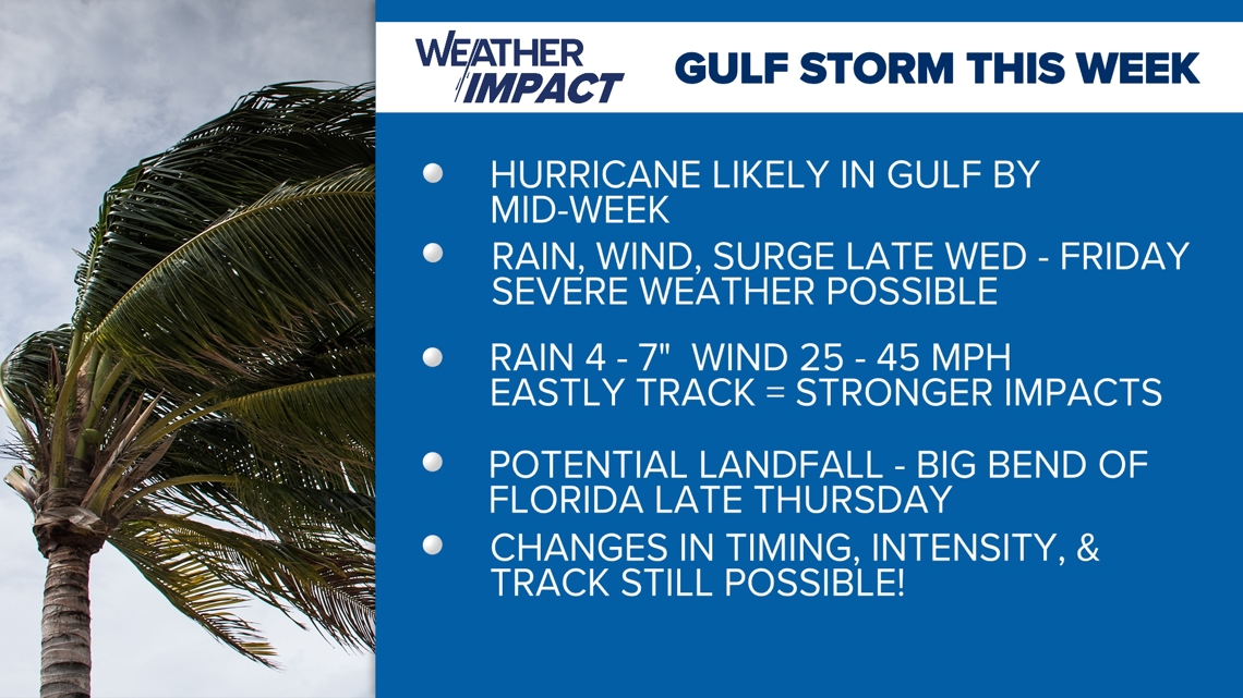
Although there is still some uncertainty, models are in better agreement that the system will strengthen while moving northward over the Gulf of Mexico.


Although it is too soon to specify the exact location and magnitude, areas along the Florida Gulf Coast should prepare for potential impacts from storm surge, heavy rainfall and strong winds.


Now is the time to make sure your hurricane kit is ready and up to date.
10 Tampa Bay is also monitoring a wave off the west coast of Africa for possible development. This tropical wave is bringing no threat to land or Florida at this time.
We will continue to provide the latest information through your 10 Tampa Bay hurricane headquarters.

