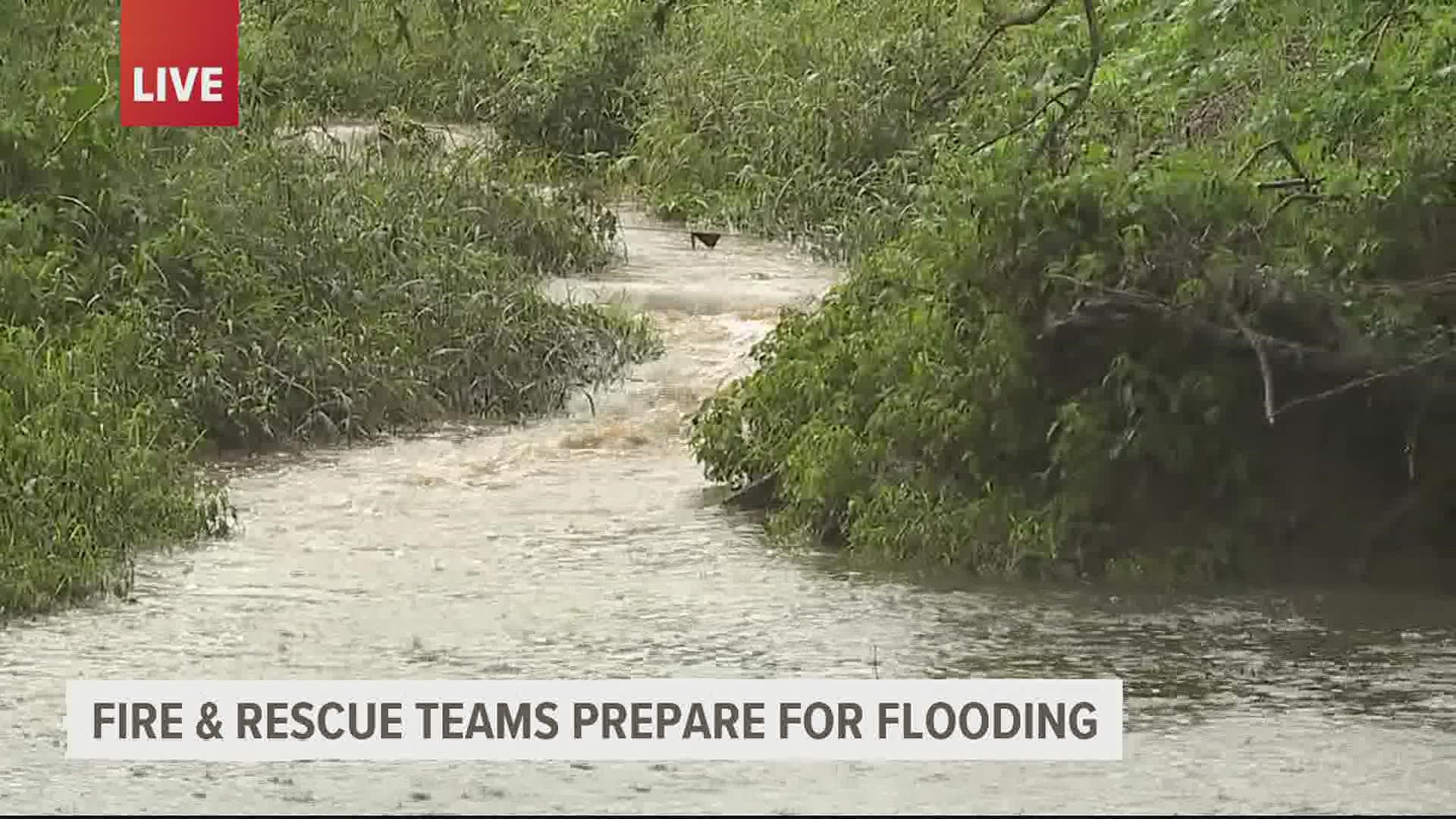
NEW YORK — After leaving devastating impacts in states like Louisiana and Mississippi, the remnants of Hurricane Ida are forecast to dump a potentially life-threatening amount of rain on the Northeast.
The heavy rains will span from the central Appalachians into New England with up to 8 inches possible in spots from Pennsylvania to Massachusetts.
A tornado watch has also been issued along the Appalachians through western Virginia and northern North Carolina, and life-threatening flash floods could appear in cities and areas of steep terrain from West Virginia to Massachusetts.
According to the National Oceanic and Atmospheric Administration's Weather Prediction Center, Wednesday will see the most severe risk for significant to life-threatening flooding across the Mid-Atlantic ahead of Tropical Depression Ida.


NOAA has also issued a "high risk" excessive rainfall outlook Wednesday for the area, it's a designation CBS News reports is rarely given but that "90% of all flood damage happens on these extreme days."
The national outlet adds that the rainfall predicted for the Mid-Atlantic could mean the area will see heavy rains that would only be expected every 100 years.
Given the forecasted high rainfall rates and storm potential in a short window of time, NOAA says flash flood emergency level impacts are possible by Wednesday afternoon.
You can track the latest updates here.

