TAMPA, Fla — There is an increasing chance of heavy rainfall for portions of the Tampa Bay area and locations south as the remnants of Agatha — or a tropical system — are forecast to move into the region by the weekend.
This area of disturbed weather also could redevelop into a storm as it heads further into the Gulf of Mexico. If that happens, and it reaches tropical storm strength, it will be called Alex.
Agatha came ashore Monday as a Category 2 hurricane near Oaxaca, Mexico, bringing a threat of dangerous storm surge and heavy rain to the southern part of the country. After making landfall, Agatha dropped in intensity to a tropical storm. It has weakened further as it continues to move over the mountainous peninsula.
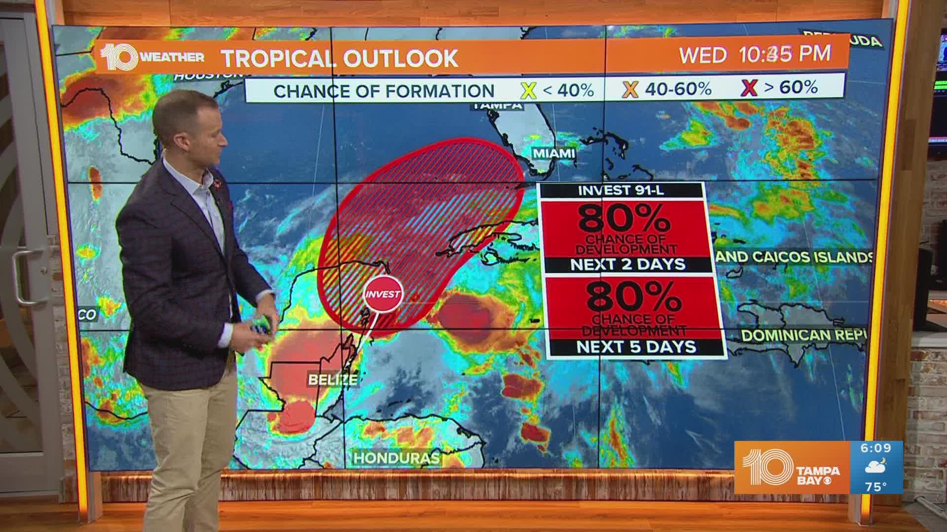
According to the National Hurricane Center, there is an increasing chance of formation in the Gulf of Mexico over the next two days, but the formation odds jump to an 80-percent chance during the next five days as Agatha's tropical DNA tries to reform.
Alex would be the first named storm of the Atlantic hurricane season if it develops.


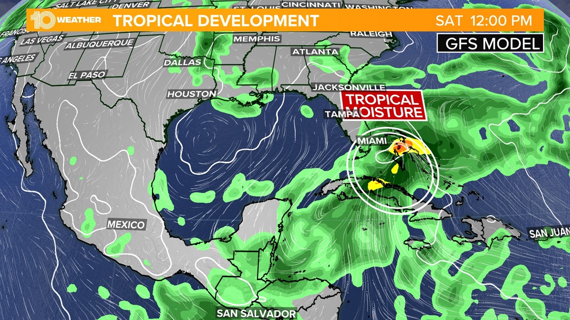
The remnant moisture from Agatha could drift northeast and reach the Florida peninsula this weekend, bringing heavy downpours to the state.
Most weather computer models indicate an increased chance of moisture across parts of the Gulf and Caribbean. Rain chances ramp up Thursday and into the weekend, especially in areas south of Tampa Bay and down into the Keys, where at least 3-6 inches of rain could fall.
10 Tampa Bay is keeping a close eye on the tropics and will keep you informed through the week.

