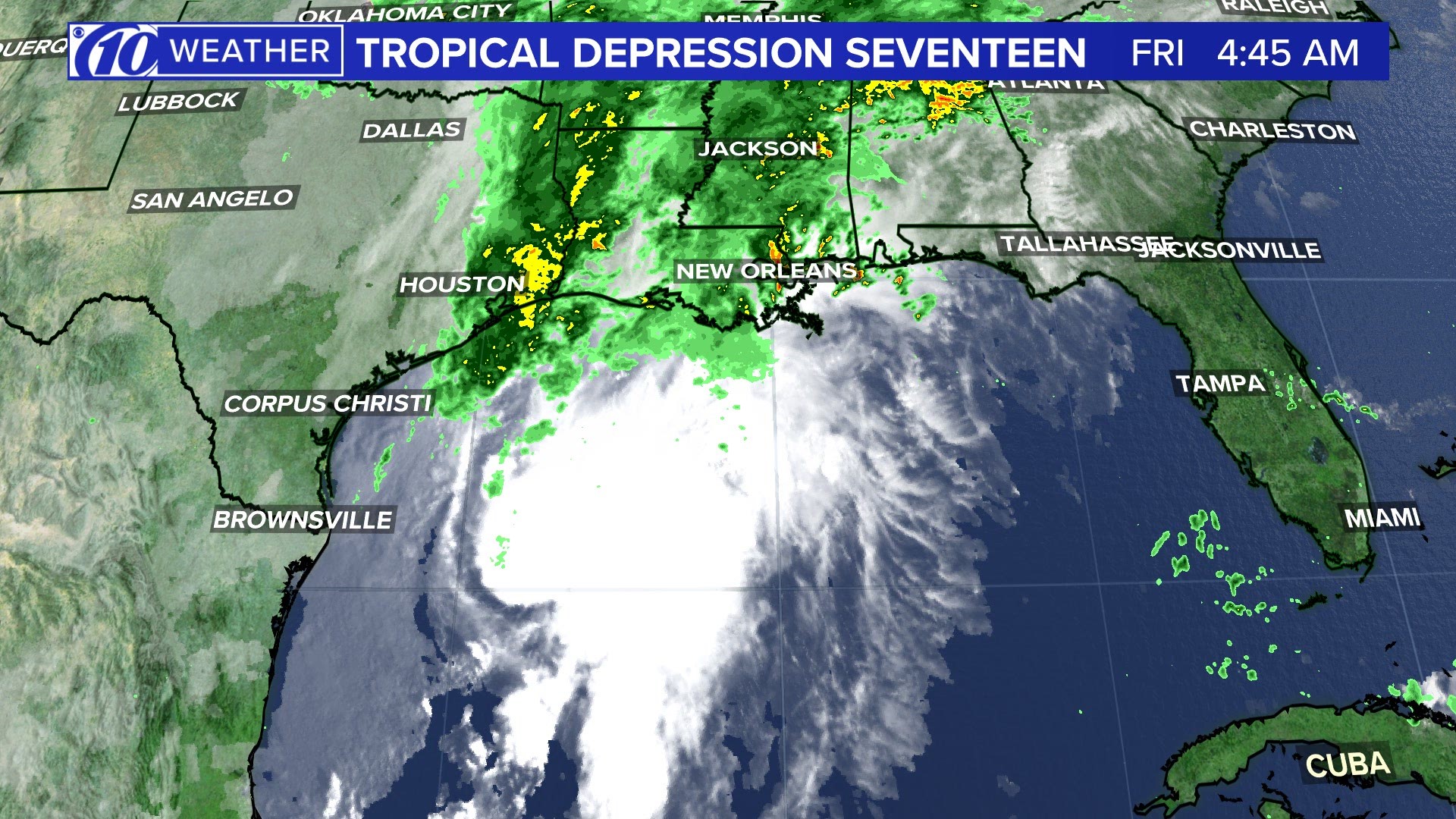
The National Hurricane Center changed the status of Invest 97-L from a tropical disturbance to a tropical depression, now called Tropical Depression Seventeen. Since all of the designations can be a little confusing, I want to break down very simply how a storm can go from a simple disturbance to a dangerous hurricane.
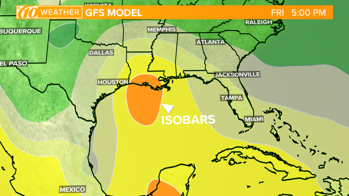
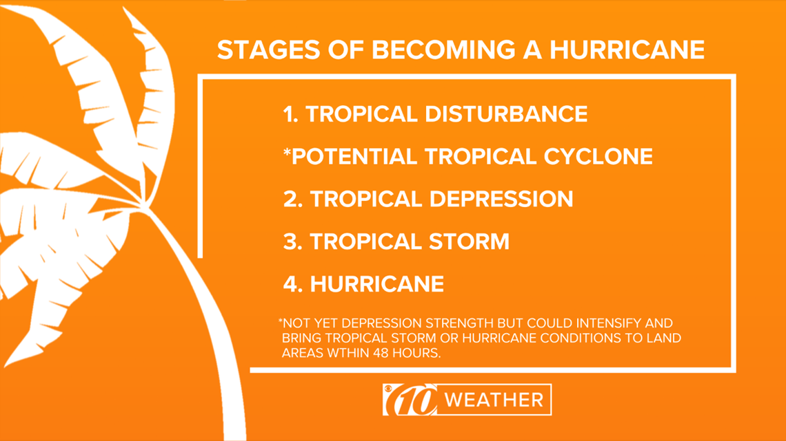
1. Tropical disturbance. It's the potential birth of a hurricane, having only a slight circulation with no closed isobars (a line on a map connecting points having the same atmospheric pressure) around an area of low pressure. Disturbances can be fairly common in the tropics at any one time and are typically accompanied by clouds and precipitation.


When there is concern about further tropical development, a disturbance will get an "invest" designation followed by a number and a letter. Invests are numbered from 90 to 99, followed by a suffix letter "L" in the North Atlantic basin, "E" and "C" in the Eastern and Central Pacific basins or "W" in the Western Pacific basin. Numbers are rotated within the season and are re-used as necessary (the next invest after 99 would be numbered 90).
2. Tropical depression. When a tropical disturbance has at least one closed isobar that accompanies a drop in pressure in the center of the storm and has a circular wind flow with maximum sustained winds below 39 mph, it becomes a tropical depression. Upon being designated a tropical depression, the National Hurricane Center (NHC) gives it a number.
3. Tropical storm. If sustained wind speeds increase to at least 39 mph, a tropical depression is upgraded to a tropical storm. Surface wind speeds vary between 39 and 73 mph and the storm becomes more organized. Tropical storms resemble the appearance of hurricanes due to the intensified circulation. This is also when the storm gets a name. If Tropical Depression Seventeen becomes a tropical storm, it will be Tropical Storm Olga.
4. Hurricane. As surface pressures continue to drop, a tropical storm becomes a hurricane when sustained wind speeds exceed 74 mph. A pronounced rotation develops around the central core as spiral rain bands rotate around the eye of the storm. The heaviest precipitation and strongest winds are associated with the eye wall.
NOTE: In 2017, the NHC started a new designation called Potential Tropical Cyclone. These advisories are designed to provide more detailed guidance on systems that are not yet at depression strength but that have a chance of intensifying and bringing tropical storm or hurricane conditions to land areas within 48 hours.


