
TAMPA, Fla. — Ophelia became a post-tropical low after making landfall earlier Saturday morning in North Carolina. But the storm still continues to pose a risk of coastal and flash flooding across the U.S. Mid-Atlantic.
Radar, hurricane hunter aircraft and observers on the ground found that Ophelia's center came ashore at around 6:15 a.m. near Emerald Isle with maximum sustained winds of 70 mph (110 kph), the National Hurricane Center said. That's roughly 25 miles (40 kilometers) west of Cape Lookout.
As of 11 p.m., the storm is 30 miles south-southwest of Richmond, Virginia packing maximum sustained winds of 35 mph. It's currently moving north at 8 mph.
Ophelia is likely to shift northeast on Sunday, the hurricane center said. The storm promised a weekend of windy conditions and heavy rain up to 7 inches (18 centimeters) in parts of North Carolina and Virginia, as well as 2 to 4 inches (5 to 10 centimeters) in the rest of the mid-Atlantic region through Sunday.
A storm surge warning, indicating danger from rising ocean water pushed inland by Ophelia, was in effect from Bogue Inlet, North Carolina, to Chincoteague, Virginia. Surges between 4 and 6 feet (1.2 and 1.8 meters) were forecast in some areas.
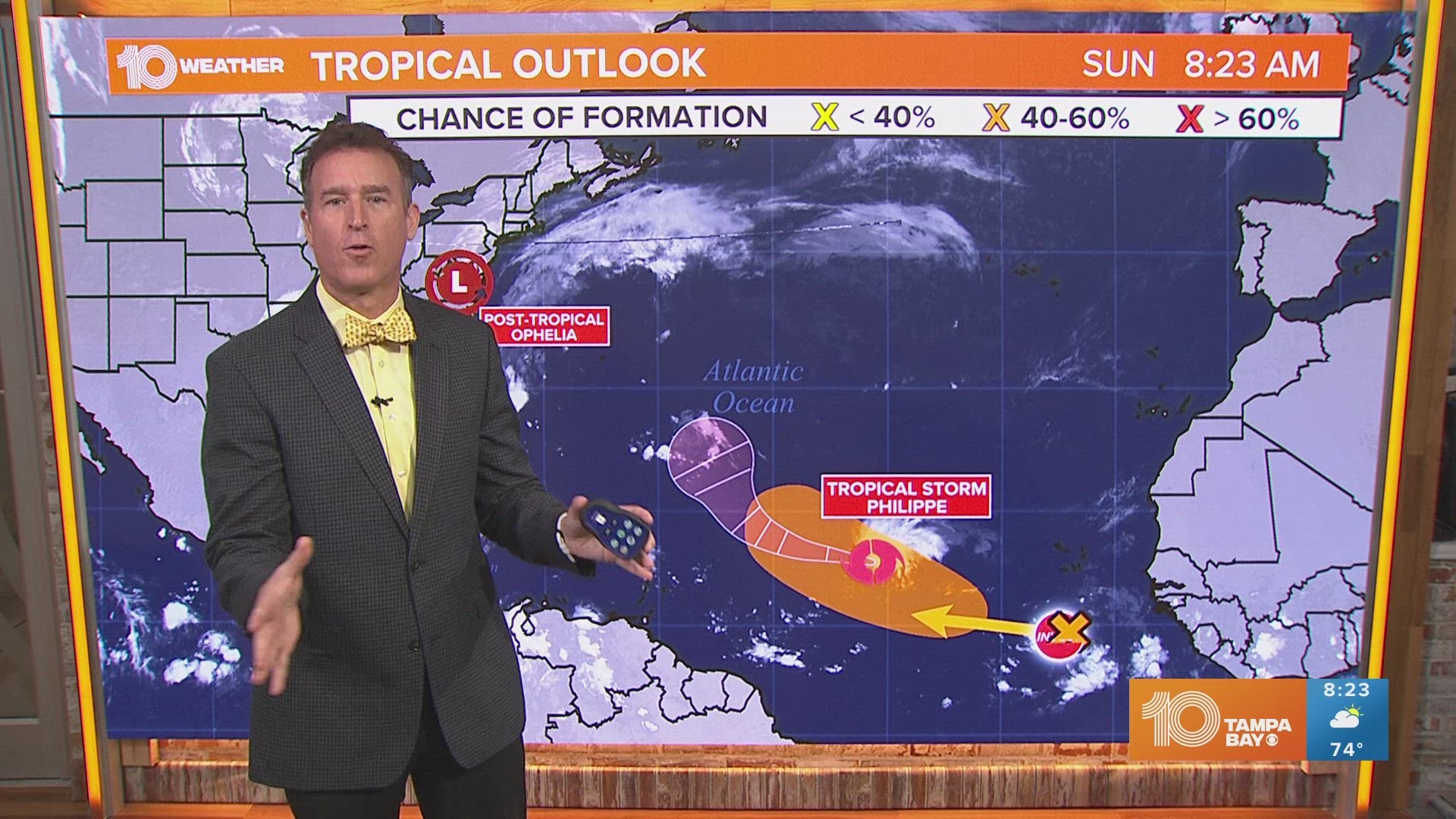
Here in the Tampa Bay area, this system will actually bring in some nice weather for the weekend. That's because on the west side of the low-pressure system, winds will be out of the north dragging in some drier air. That means dew points are expected to fall into the 60s with plenty of sunshine and very low rain chances.
The Associated Press contributed to this article.