SAINT PETERSBURG, Fla. — The weather focus lately has started to shift from concerns in the tropics to cold fronts and fall-like conditions, but you must always keep an eye on the potential for development through late October in November.
The Atlantic hurricane season technically runs through the month of November and for good reason as 153 named storms have developed in the month of November since 1853.


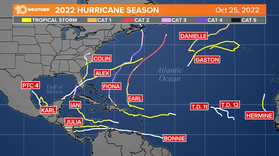
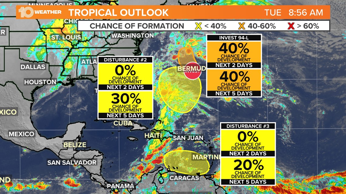
Twelve named storms have developed in the Atlantic so far this year and as we head into the final days of October the tropics remain poised to produce more tropical activity. The National Hurricane Center is watching three areas for the potential for tropical development over the next five days.


At this point, there is only one actual area of low pressure that is currently being monitored, but two more areas of low pressure are expected to form later this week.
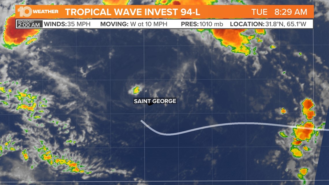
Invest 94-L, which is an area of low pressure located just west-northwest of Bermuda, has seen a decrease in shower and thunderstorm activity since Monday. While there remains a 40% chance of tropical development over the next day or so environmental conditions are becoming less conducive for development as it tracks to the north.


This chance for development is now very short-lived as it tracks northward toward cooler waters and into a region of unfavorable upper-level winds Tuesday night into Wednesday. Regardless of development, periods of locally heavy rainfall and gusty winds are expected over Bermuda Tuesday morning. After that, there are no concerns about any land interaction.
Nearby in the southwestern Atlantic, an area of low pressure is expected to form in-between Puerto Rico and Bermuda later this week. Once this low-pressure system forms conditions look to be conducive for the potential for gradual subtropical development as it meanders over the southwestern Atlantic through the weekend. At this point there is a 30% chance of development and the only land area that could potentially see some impact would be Bermuda.
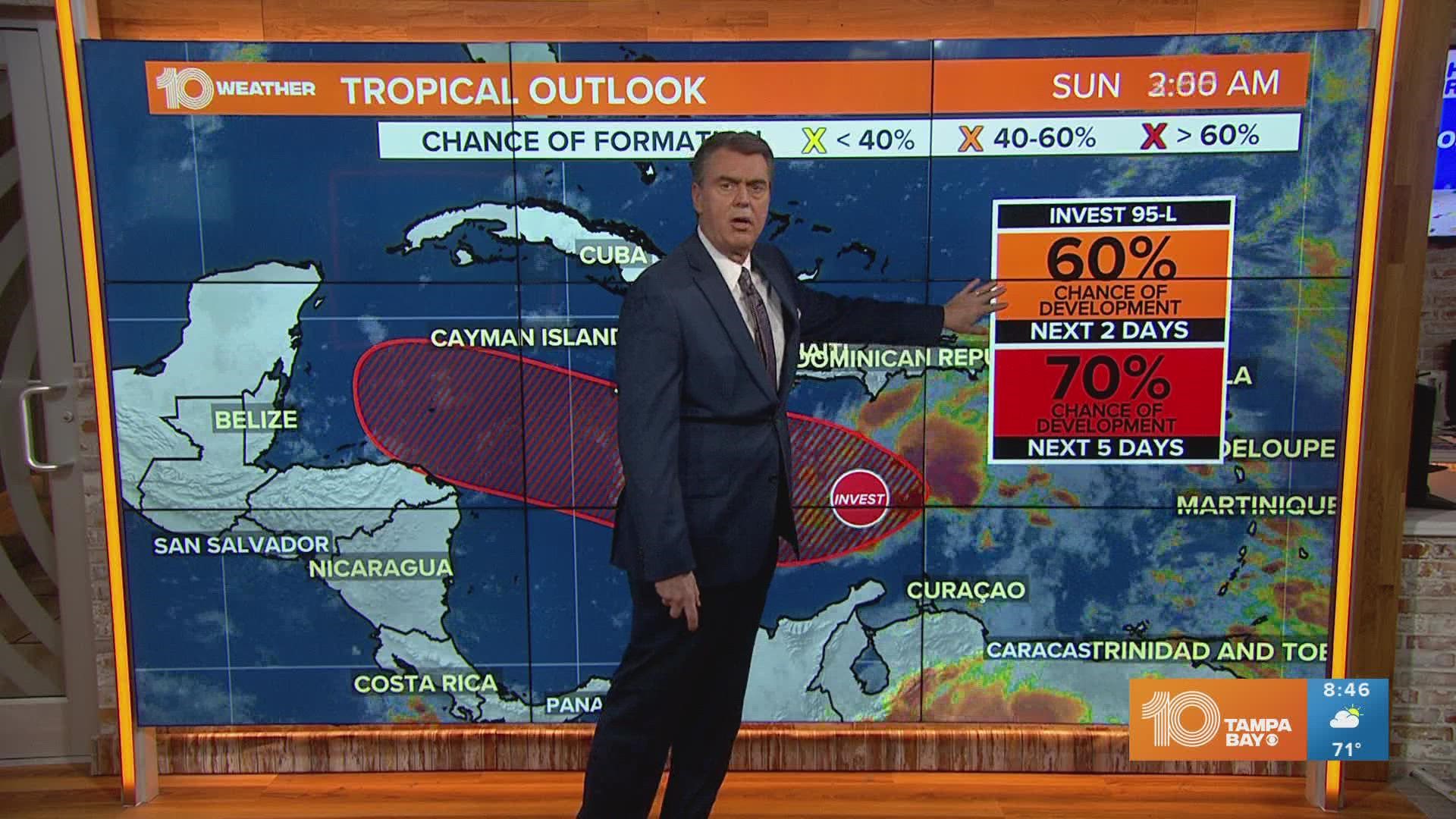
Another area of low pressure could form over the eastern Caribbean Sea by this weekend. As this low-pressure system drifts west across the Caribbean environmental conditions are forecast to be conducive for some gradual development. The chance for tropical development is only at 20% right now, but interests in the Caribbean should monitor this system through the weekend into next week as it begins to take shape.

