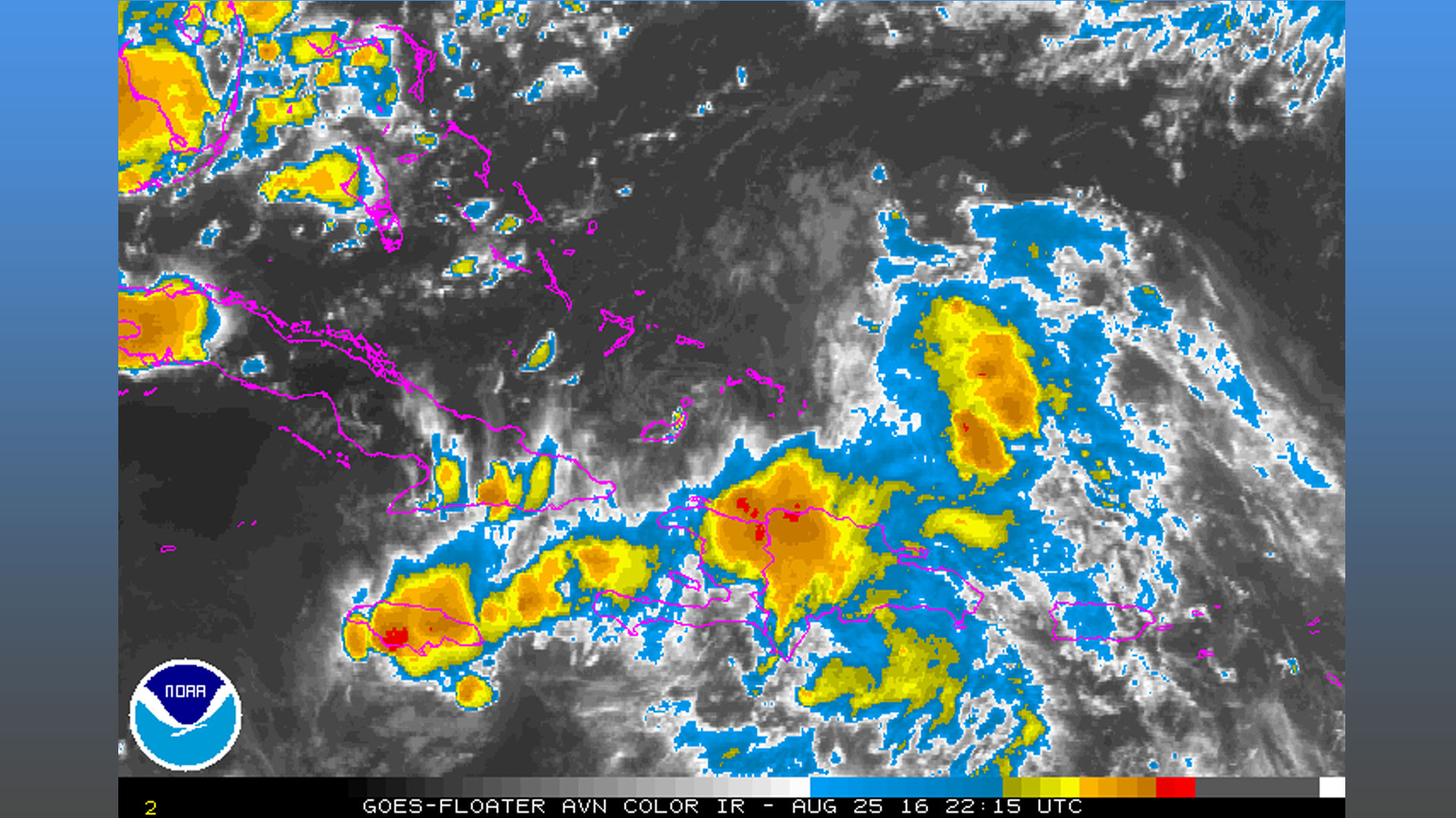
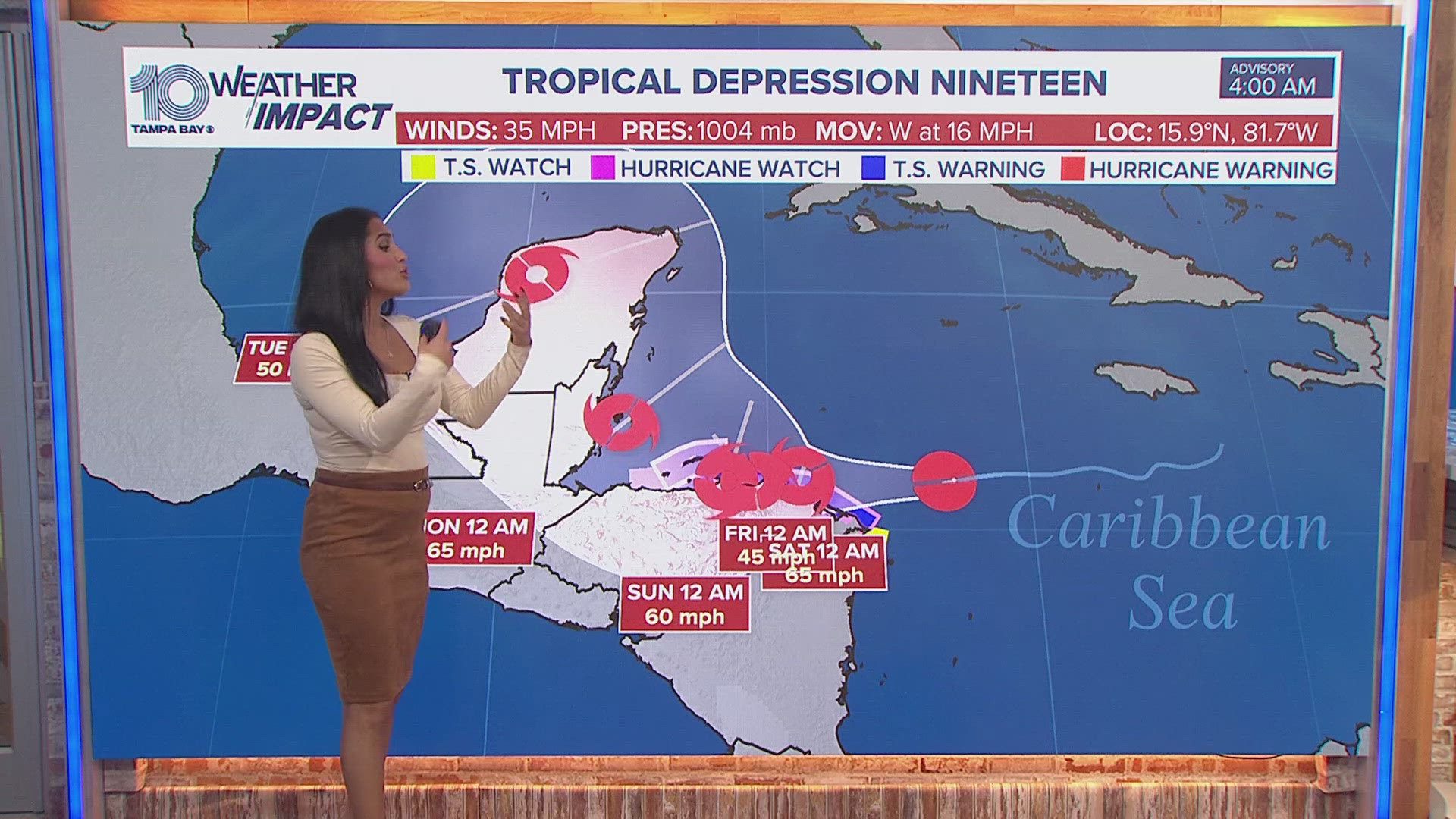
A broad area of disturbed weather designated 99-L will continue to move westward toward Cuba today and potentially into the Gulf of Mexico late this weekend.
Invest 99-L is struggling to survive as the unorganized center appears to be moving close to Cuba. Wind shear and dry air are taking its toll on the system and if that low level center moves over Cuba, it will wipe it out. We will still have to track the wave as it moves toward the Gulf of Mexico this weekend into next week. The NHC has lowered it's extended chance for development to 60% through the next 5 days.
Forecast models have now shifted further south and west, taking the system into the Gulf of Mexico by Sunday and drifting it to the NW and away from Tampa. This is great news and IF it's able to survive and eventually try to strengthen, it would mean some extra rain for us Sunday and Monday and some wind.
Remember that the forecast will likely change over the next several days. We will be tracking these systems for you.


