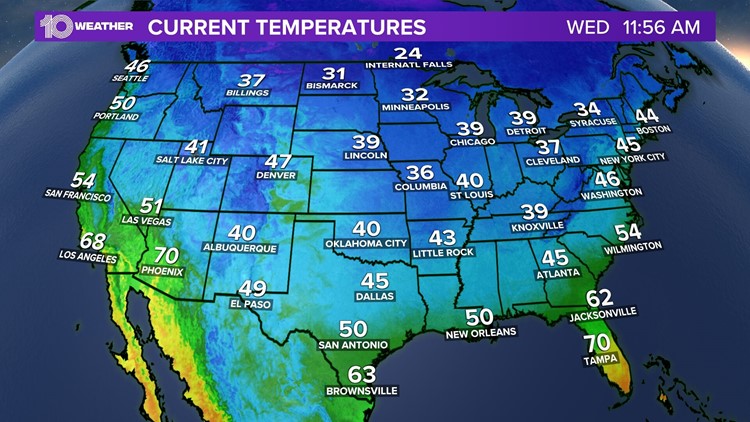
TAMPA, Fla. — You might have been a bit surprised at the cool and dry temperatures while walking outside today. A cold front that moved through the Tampa Bay area overnight is responsible for the crisp weather and unseasonably cooler temps.
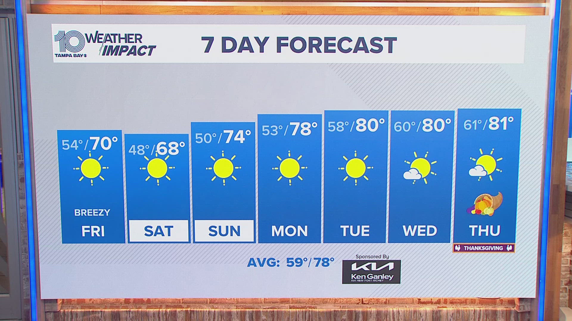
While the cold snap will linger through Thursday, it's not going to last long here in the Tampa Bay area; and, it won't be like what much of the Southeast and even the country is facing the rest of the week.
According to the National Weather Service, much of the central and southern United States will experience "record-setting cold and subfreezing temperatures."
Essentially, starting Thursday morning across the Southeast and mid-Atlantic states, these cold temperatures bring a frost or freeze threat to much of the area.
"This fall chill will shift eastward on Thursday morning, with subfreezing temperatures expanding across the Southeast and Mid-Atlantic," the short-range forecast said, in part.
But the brunt of all that cold weather isn't going to reach us here in the Tampa Bay area. Models from the NWS show parts of the Florida Panhandle could see low temperatures dip until the upper 30s overnight into Thursday.
By the end of the week going into the weekend, temperatures across the country will slowly return to near average, the NWS said.
Another thing to note — it'll be dry not only here in the Tampa Bay area, but also across much of the country. Because of this, parts of the Southeast, including parts of the Florida Panhandle, are under a red flag warning on Thursday. A red flag warning means conditions, such as wind speeds, dry air and drought conditions, are conducive to allowing a fire to rapidly spread.


