ST. PETERSBURG, Fla. — Tornado warnings that were earlier in effect for parts of the Tampa Bay area have been allowed to expire.
A tornado watch remains in effect until 9 a.m.
The previous story is below.
---
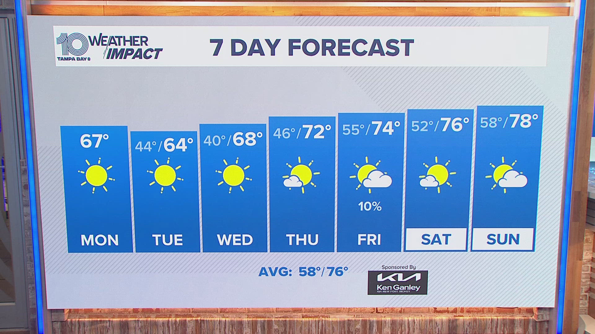
What a difference just a couple of days make: After a fantastic start to the week, we've welcomed back the humidity, as well as increasing rain chances.
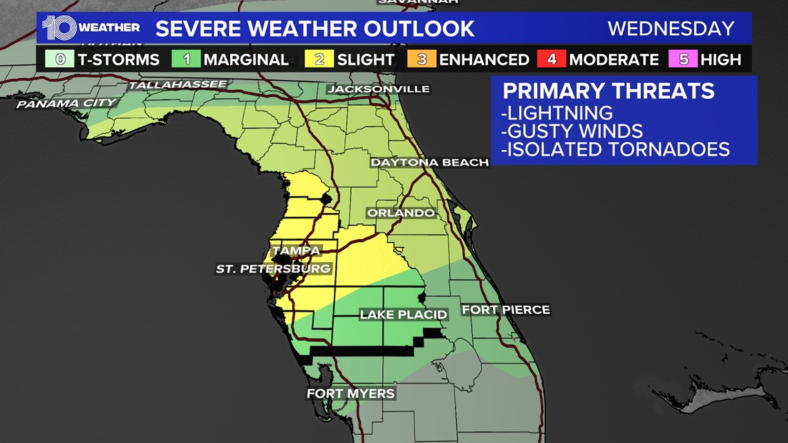
There are a few factors helping to set up this stormy pattern that kicks off tonight with the threat of damaging winds and isolated tornadoes.
A weak frontal boundary that stalled to our south is already lifting back to the north as a warm front through this evening. As it does so, a weak area of low pressure over in the western Gulf of Mexico is also lifting northeast across the Gulf and merging with this boundary.


While the National Hurricane Center says that it is not likely this system will lead to tropical development, it will still be quite the rainmaker across the northern Gulf of Mexico and Florida Panhandle.
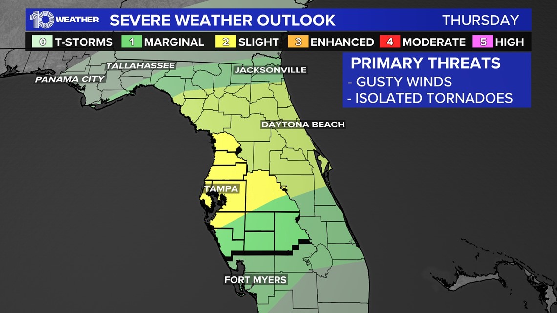
In addition to the increase in rain approaching Florida, some storms associated with this setup will have enough "lift" or energy to produce a "slight risk" for severe storms by the Storm Prediction Center, along with the chance for an isolated tornado.
The timing looks to mainly be through the overnight hours into Thursday. A few storms will also be around Thursday afternoon so we will have to watch for any activity throughout the day to become severe.


A "slight risk" for severe storms will stick around on Thursday, before the low shifts out to the Atlantic Ocean. While the severe potential will diminish at that point, overall scattered rain chances will remain high on Thursday.


