ST. PETERSBURG, Fla. — Don't put the rain gear away just yet! We have another chance to see strong-to-severe storms during your spring break week.
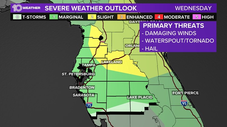
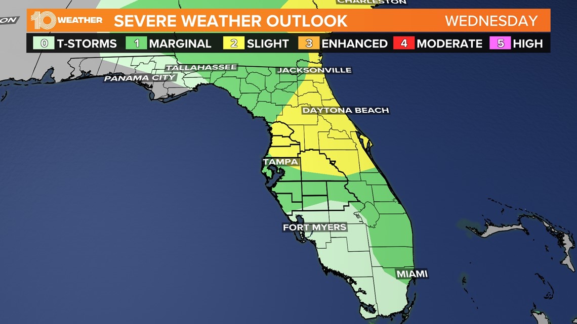
The Storm Prediction Center has placed the Tampa Bay area in a marginal to slight risk for severe weather on Wednesday.
Damaging winds are the main threats to any storms that turn severe, but an isolated tornado cannot be ruled out.
Below you can see that area of marginal and slight risk. It covers most spring break locations across north, central and east Florida.

A frontal boundary associated with this system moved into the Tampa Bay area on Tuesday, unleashing a couple of rounds of wet and stormy weather between yesterday and again today.
The threat for any severe weather has shifted slightly north and east Wednesday as this storm system drifts to the northeast.

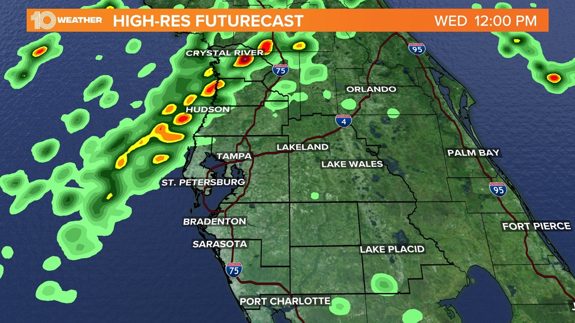
While a few showers may pop up along the coast Wednesday morning, some scattered rain and storms become more likely through lunchtime and into the first half of Wednesday afternoon.
Showers and storms are likely to be more scattered along and north of Interstate 4.

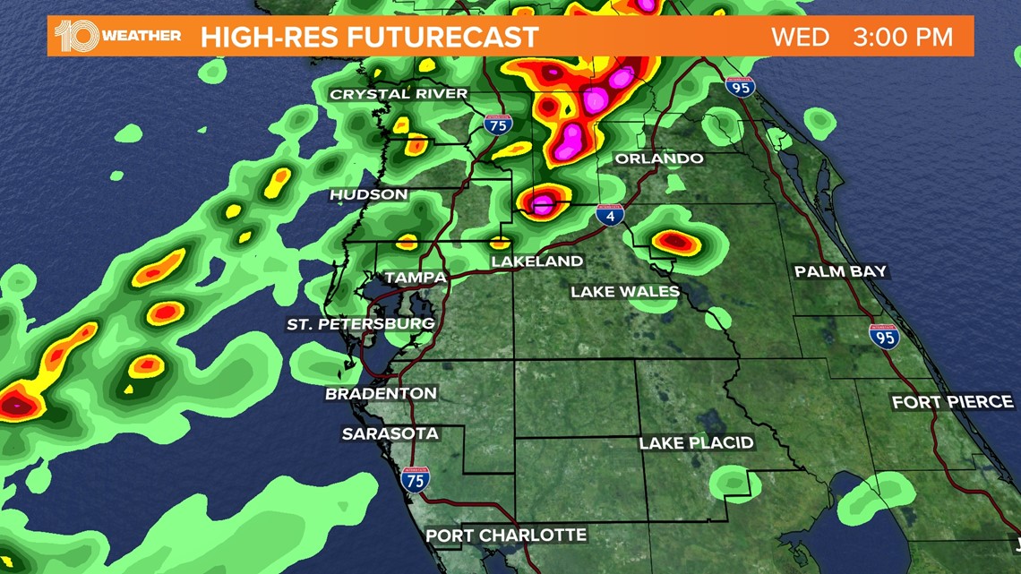
It's always best to keep an eye on the radar throughout the day Wednesday in the event that storms speed up and approach the area a couple of hours sooner. The 10 Tampa Bay app has real-time interactive radar and alerts to keep you ahead of the storms!
By Wednesday evening, the cold front will be to the east of the state. A big cool down isn't expected behind this front, but the sunshine returns, and temperatures make their way back into the 80s by the end of the week.