ST. PETERSBURG, Fla. — After several days of severe thunderstorms in parts of the Tampa Bay area and Central Florida produced some large hail, you may be wondering what the severe weather threat will be for the rest of the week.
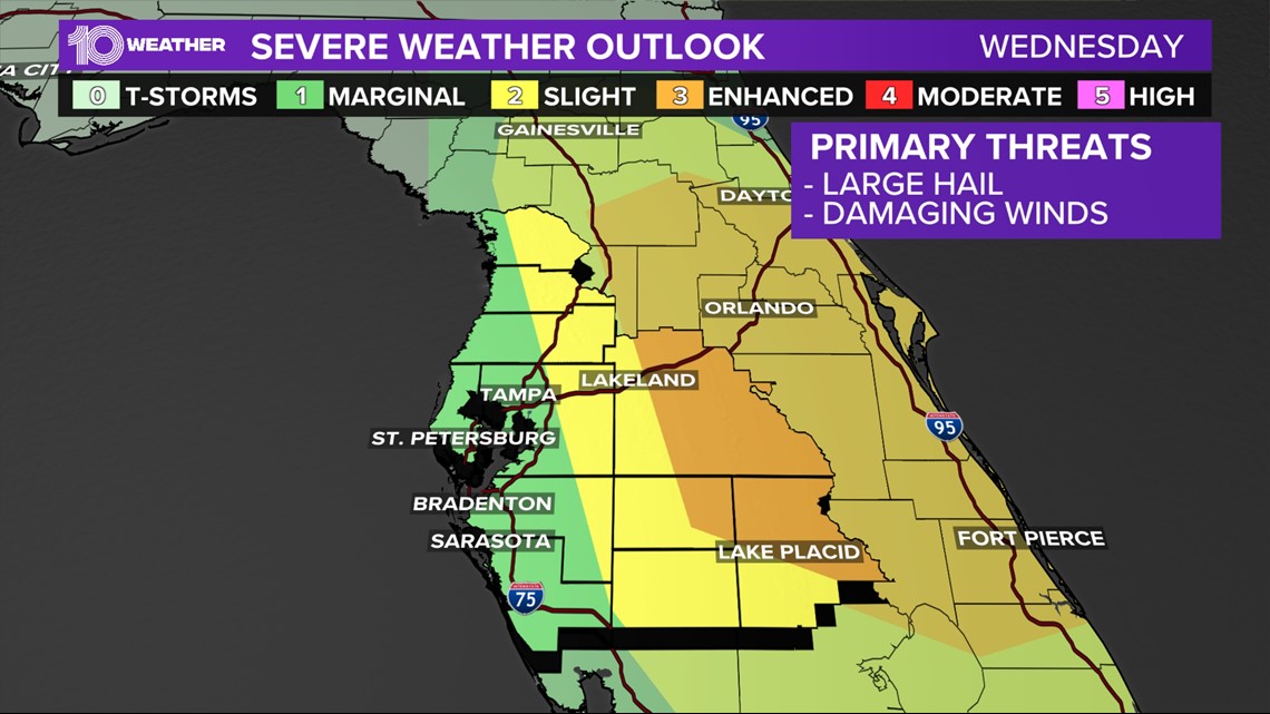
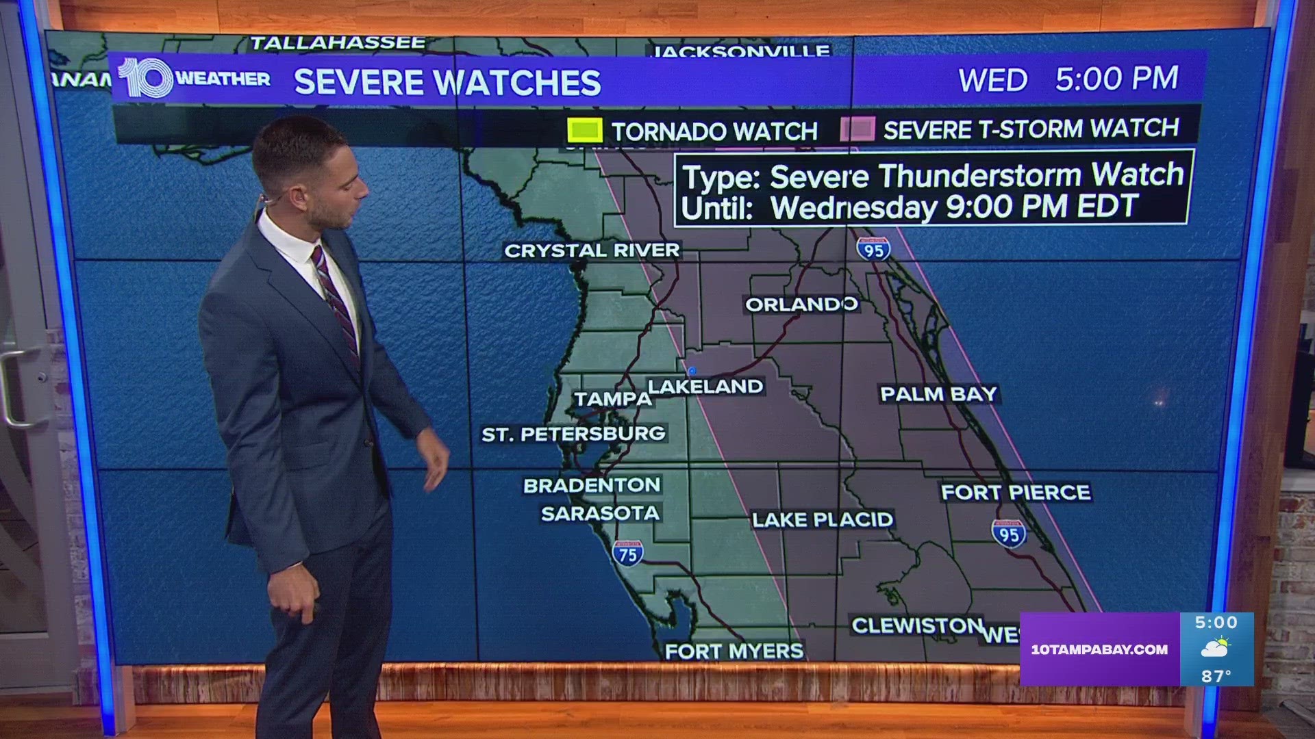
There was an enhanced risk of severe weather Wednesday afternoon in west-central and eastern Florida as afternoon thunderstorms develop and drift eastward, according to the Storm Prediction Center.
This is a threat level three out of five. A lesser threat exists closer to the Tampa Bay area coastline, but strong storms remain possible.
You may have heard about all of the large hail that has been reported in parts of the area over the last few days. That threat sticks around today, as well.
The thunderstorm coverage will actually be low for the immediate Tampa and coastal areas, but the further east of Interstate 75 you go, the higher the chances of storms that could produce large hail. Coastal Tampa Bay areas are under a marginal risk for severe weather.


These storms have produced that large hail because the atmosphere above is a little cooler than normal, there is drier air up there and there are even some high winds aloft.
The cooler temps allow the raindrops to freeze into hail stones, while the drier air helps to reinforce the cooler air and the higher winds aloft help the storms to grow taller.
All of these put together create a better environment for making hail. On Monday, we had reports of baseball-size hail in the Clermont area.
This is rare for Florida because usually, it's a little too warm above us to make large hail. As we head into the weekend the thunderstorm chances continue, although the threat of large hail will lower a touch.
I would play it safe through Sunday and try to protect your vehicles if a storm is headed your way.
Always stay up-to-date on the weather in your area by downloading our free 10 Tampa Bay app. In addition to live, interactive radar, we'll send you alerts if there's severe weather in your area.

