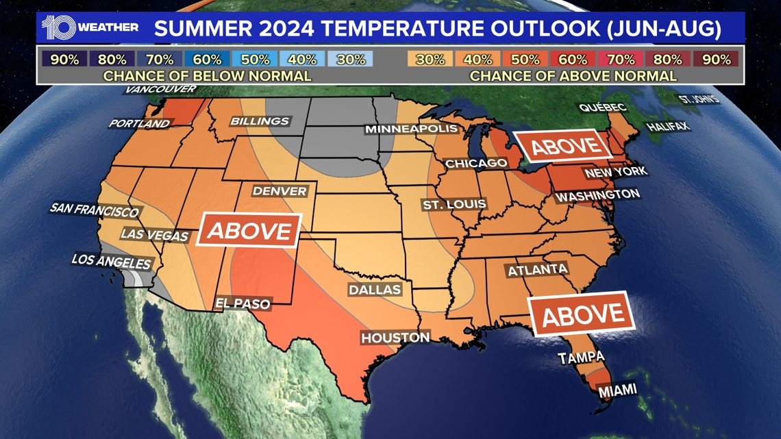
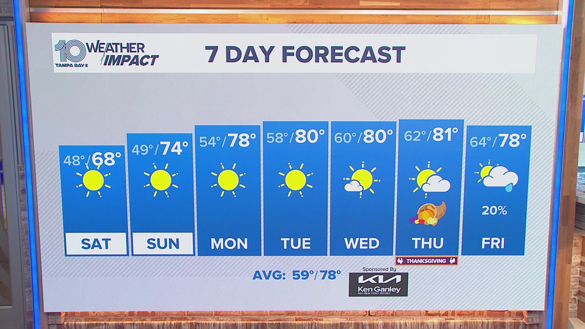
ST. PETERSBURG, Fla. — The summer 2024 forecast recently released by NOAA could be summed up in a few words: The heat is on.
Last summer was known for its blazing heat and drought across Tampa Bay. Rainfall deficits of 12-18 inches created crunchy lawns and caused the environment to heat up as the sun's full energy could focus on heating the ground rather than evaporation.
Tampa officially had its second warmest summer on record, with an average temperature of 85.6 degrees — 2 degrees above the average of 83.6 degrees. Plant City, Bradenton and Sarasota not only broke numerous record highs but had their warmest summer on record.
How about this summer? Don't look for much relief.
It looks like another sizzler with temperatures favoring above-average temperatures for almost the entire country, with only the Dakotas expected to be near normal.


The Northeast and areas of Texas, the Southwest and West Coast are expected to have well-above-normal temperatures that could break records with an extreme fire season as heat combines with drought in the forecast.


A first look at the summertime rainfall forecast shows near or above-normal perception.
One of the factors we are watching is the Pacific Ocean temperatures. A La Niña watch is in effect this summer, which means the ocean temperatures in the equatorial Pacific are expected to cool to below average.
La Niña usually is not a big factor in our temperatures or rainfall in Florida during the summer. It impacts our hurricane season, however, with an increase in tropical activity as the wind shear decreases over the Atlantic Basin.
But we must keep in mind that during the La Niña of 2020-22 here in Tampa Bay, we had three of our top four hottest summers on record. High pressures tend to gather strength over the Midwest and tend to build what are called "heat domes" that are known for record-breaking temperatures and heat waves that can last several weeks.


