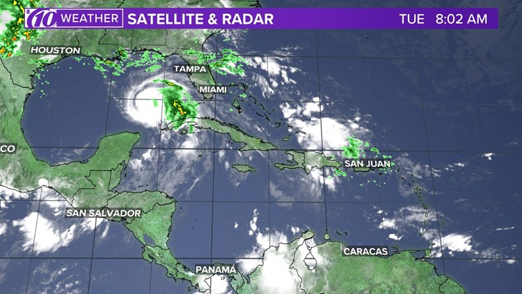
All eyes are on Hurricane Michael as it tracks north through the Gulf of Mexico. Michael became a Category 2 hurricane this morning.
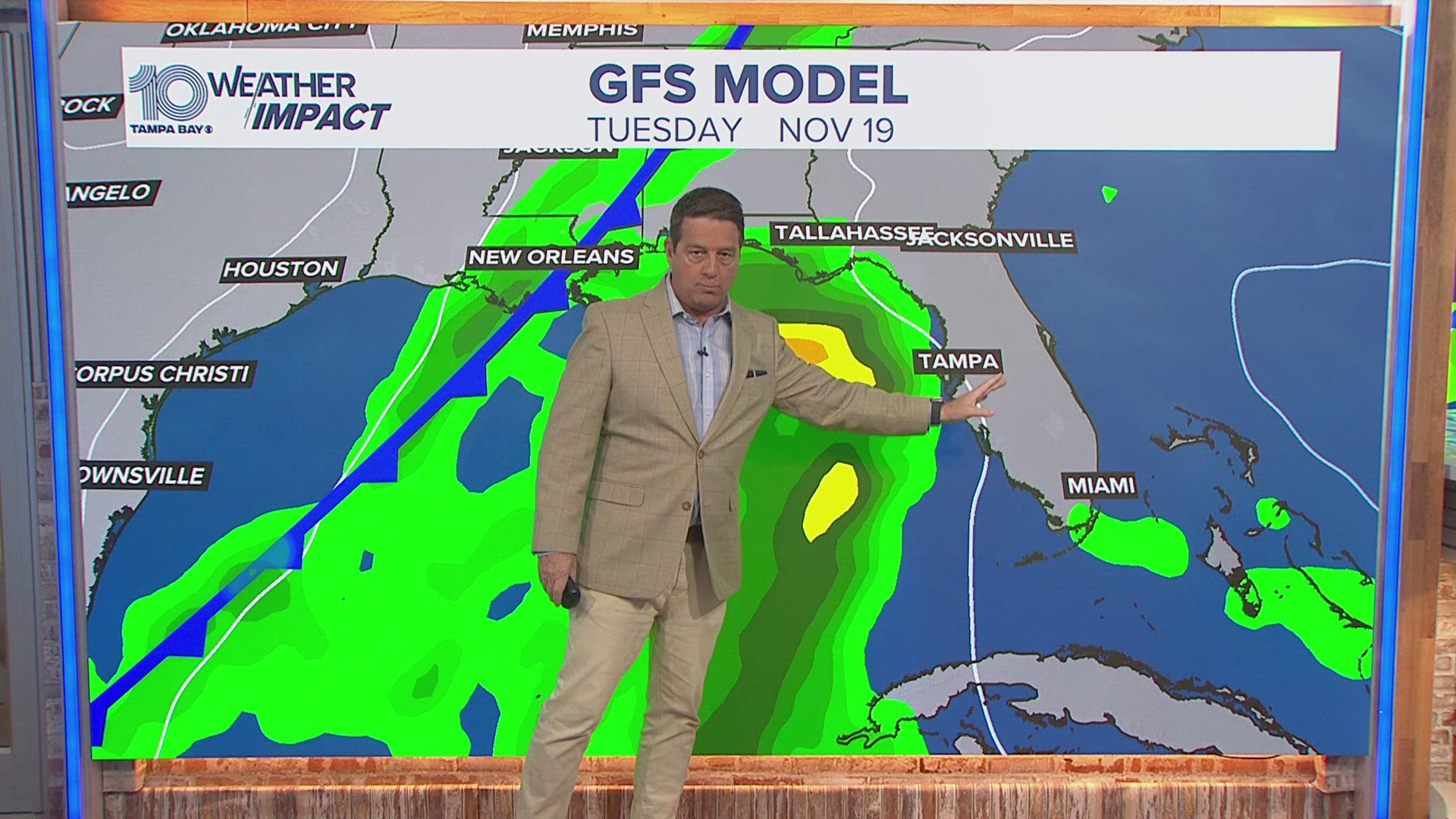
The storm will begin to produce breezy conditions and scattered showers and storms across Tampa Bay today, but the worst of the conditions won't be until Wednesday into Thursday. The coverage of showers will decrease tonight as temperatures return to the upper 70s.
Clouds will increase today as periods of tropical rain move across the region. Winds will be out of the east from 10-20 mph with gusts at 25 mph at times. High temperatures today will be near 90°.
Track Hurricane Michael: Spaghetti models, forecast cone and satellite
Tomorrow will feature more widespread showers and storms with tropical storm conditions possible. Winds could gust as high as 40 mph.
Even though the storm will pass about 100 miles to the west of Tampa Bay we could still see storm surge between 2-4 feet. North of Tampa Bay through the Nature Coast storm surge could rise to between 4-6 feet.
Areas from Crystal River north could see a storm surge of 6-8 feet.
The worst of the conditions will be tomorrow into very early Thursday morning for most of Tampa Bay, but a surge concern will remain in the Nature Coast through Friday morning.
Friday will then feature mostly sunny skies as drier air fills in behind the hurricane as we head into the weekend.
WTSP meteorologists on Facebook: Bobby Deskins, Grant Gilmore, Ashley Batey, Ric Kearbey
WTSP meteorologists on Twitter: Bobby Deskins, Grant Gilmore, Ashley Batey, Ric Kearbey
Stay up to date with the weather with our free WTSP app


