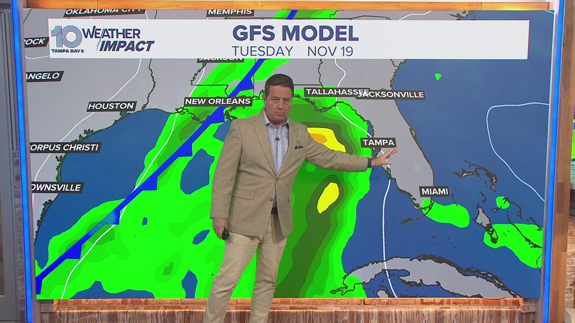
Hurricane Michael is tracking just west of Tampa Bay, through the Gulf of Mexico and toward the Florida Panhandle.
It may now be too late to evacuate -- if you're living in the Florida Panhandle. If you have not gotten out of a mandatory evacuation zone, now is the time to take shelter. Monitor local media and emergency management reports to determine the safest course of action for your family.
Mandatory evacuations had been ordered for parts of Bay, Citrus, Dixie, Franklin, Gadsden, Gulf, Jackson, Jefferson, Okaloosa, Taylor and Wakulla counties. Voluntary and phased evacuations were ordered for Calhoun, Escambia, Leon, Liberty, Madison, Pasco and Santa Rosa counties. For a specific list of what zones were told to get out, click here.
As of the National Hurricane Center's latest advisory, Michael is an "extremely dangerous" Category 4 storm with maximum sustained winds of 130 mph. Forecasters say it could gain even more strength before it makes landfall sometime today.
Hurricane center forecasters issued a hurricane warning from the Alabama/Florida border to the Suwannee River. In addition, a storm surge warning is in effect from the Okaloosa/Walton County Line to the Anclote River.
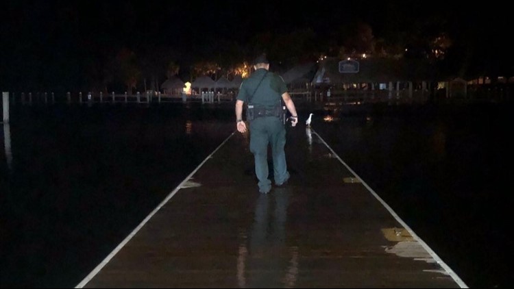
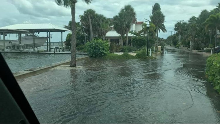
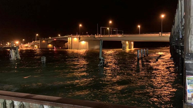
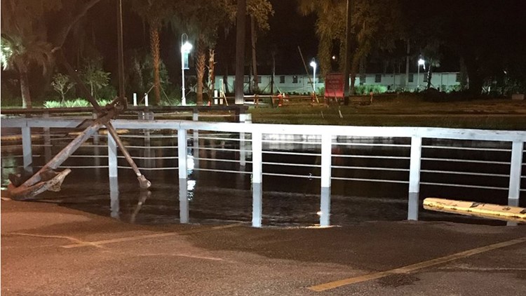
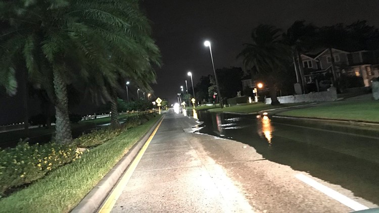
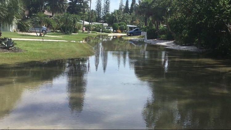
PHOTOS: Hurricane Michael brings flooding, damage to Tampa Bay
Tampa Bay remains under a storm surge watch, in addition to a tropical storm watch, for strong winds and an elevated water level. The Tampa Bay area can expect an 80 percent chance of showers and thunderstorms. It will be windy -- with a southeast wind of 15 to 20 mph and gusts as high as 30 mph.
Storm surge watches are in effect from the Anclote River to Anna Maria Island, including Tampa Bay. A tropical storm watch is also in effect for the Tampa area.
Thursday, as the storm pulls away, showers will be likely with possibly a thunderstorm. Otherwise, it will be mostly cloudy with a high near 88. Southwest wind 10 to 15 mph, with gusts as high as 20 mph.
►Make it easy to keep up-to-date with more stories like this. Download the 10News app now.
Have a news tip? Email desk@wtsp.com, or visit our Facebook page or Twitter feed.


