ST. PETERSBURG, Fla. — The Atlantic is coming alive with tropical activity, with the National Hurricane Center now tracking five different disturbances.
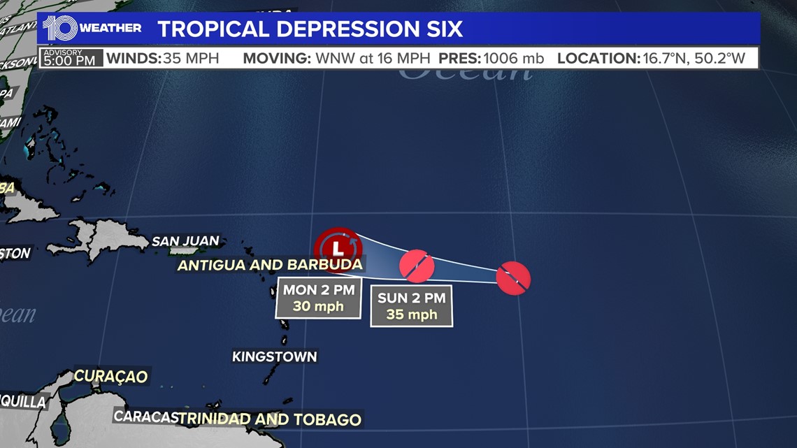
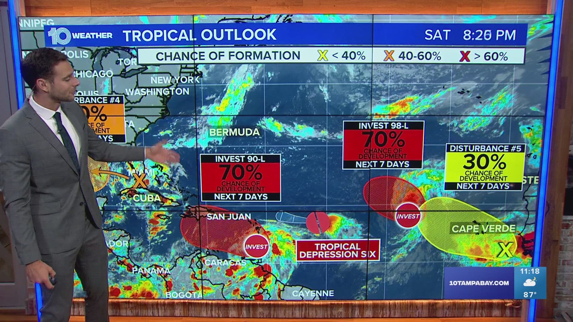
Sunday afternoon Tropical Depression Six developed in the middle of the tropical Atlantic, about 850 miles east of the Northern Leeward Islands. The good news is that T.D. Six is expected to be short-lived and weaken by early next week.


Another tropical wave is moving through the southern Bahamas and is expected to pass to the south of Tampa towards the Keys on Sunday. After that, it will move towards the western Gulf of Mexico where it has a moderate chance to develop into a tropical depression or weak tropical storm before moving towards Texas.
This system will impact our area heading into Sunday by adding additional deep tropical moisture to our atmosphere and increasing rain chances. Wind speeds will be on the increase, as well, so expect breezy conditions.
Farther out in the Atlantic Ocean, the tropical wave train is in full effect. The west coast of Africa near the eastern Atlantic this time of year is a hot spot for tropical activity, especially with the infancy stages of tropical systems.
Besides T.D. Six, mentioned above, there are three other areas to watch further out in the Atlantic. Invest 90-L is a broad area of low pressure near the Windward Islands. It has a 60% chance of development in the eastern Caribbean over the next seven days.
Heading further east with lower risks to land is Invest 98-L, with a high 70% chance for development over the next seven days but will likely track further northwest away from the Caribbean. And finally, there is a new disturbance just coming off the coast of Africa and it currently only has a 20% chance of development.
Above all, these tropical systems pose no immediate threat to Florida, but now is the time to prepare your kits and hurricane plans as things are relatively calm.

