
ST. PETERSBURG, Fla. — Hurricane Idalia is officially a Category 3 major hurricane as it continues its trek northward across the Gulf of Mexico. It is now forecast, however, to reach Category 4 strength before making landfall.
Life-threatening storm surge, hurricane-force wind and isolated tornadoes are likely for portions of the Florida Gulf Coast.
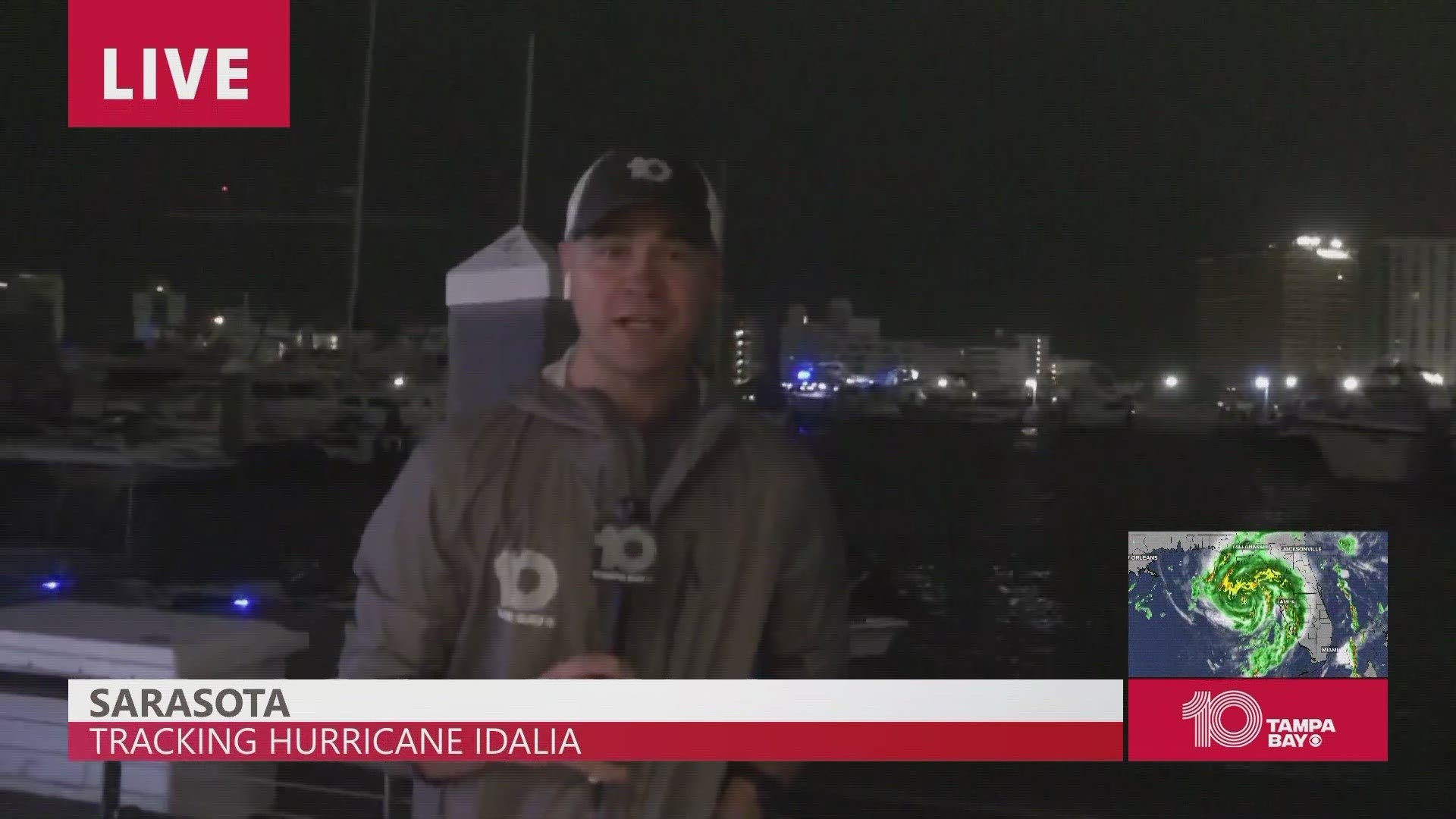
According to 10 Tampa Bay chief meteorologist Bobby Deskins, the wind will be turning more to the south-southwest before turning fully southwest in the next few hours.
This will reportedly begin to bring the storm surge on the Tampa Bay coast, with it peaking around 6-8 a.m.
And a storm surge warning is already in effect for Englewood northward to Indian Pass, including the Tampa Bay area.
10 Tampa Bay is keeping you ahead of the storm: Download our free mobile app for real-time storm information and breaking alerts, and download 10 Tampa Bay+ on your favorite streaming device for live updates.
Here's a breakdown of potential storm surge impacts for Tampa Bay-area counties ahead of Idalia making landfall:
Citrus | Hernando | Pasco counties
Peak storm surge could reach 8-12 feet early Wednesday morning. Between 5-10 inches of rainfall is expected across the area, with some local spots receiving more.
Pinellas | Hillsborough counties
Peak storm surge could reach 4-7 feet overnight Tuesday into early Wednesday morning. Between 4-8 inches of rainfall is expected across the area, with some local spots receiving more.
Manatee | Sarasota counties
Peak storm surge could reach 2-4 feet overnight Tuesday into early Wednesday morning. Between 4-8 inches of rainfall is expected across the area, with some local spots receiving more.