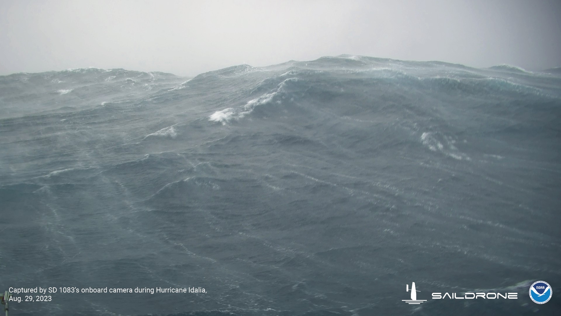
TAMPA, Fla. — Now officially two weeks since Hurricane Idalia made landfall near Keaton Beach in Florida's Big Bend, the National Oceanic and Atmospheric Administration released video captured from inside the Category 3 storm.
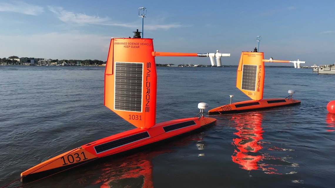
With the help of saildrones, which are uncrewed observation platforms powered by solar, wind and wave energy, researchers are able to see what kind of power Idalia was packing.
According to an article by NOAA's Atlantic Oceanographic and Meteorological Laboratory, four saildrones were launched to gather data before, during and after Idalia in the Gulf of Mexico and the Atlantic.
On Aug. 29, the day before landfall, one of the vessels reportedly passed right through the north side of the wall, into the eye of the hurricane and then through the southern eye wall.
"This particular uncrewed surface vehicle withstood sustained tropical storm force winds for more than nine hours and experienced 31-feet-high waves," NOAA leaders explain online.
And the footage captured by the saildrone can certainly back up the data – dark skies were met with choppy waves that were throwing the vessel around while the hurricane blew through.
This is the third year of the saildrones being used, with them being deployed at the beginning of hurricane season in places usually visited by tropical cyclones.
The equipment is used to collect information like sea surface temperature, salinity, pressure and even wave height – which could definitely be seen in the video.


Hurricane Idalia brought flooding and significant storm surge to parts of the Tampa Bay area, leaving residents and business owners in the thick of the clean-up process more than two weeks later.
10 Tampa Bay's Andrea Chu contributed to this report.

