LAKELAND, Fla. — NOAA scientists are constantly working on ways to improve how they track and predict hurricanes.
This season, they're rolling out a brand new hurricane model called the Hurricane Analysis and Forecast System (HAFS) that will create an even more accurate and higher-resolution forecast.
It works by combing existing tools from Hurricane Hunter aircraft and satellites with other new uncrewed devices to gather storm data both in the ocean and throughout the atmosphere.
This area where the ocean and the atmosphere meet, called the boundary layer, is where hurricanes gain and lose strength. And, according to NOAA, there are still some gaps in our understanding of it.
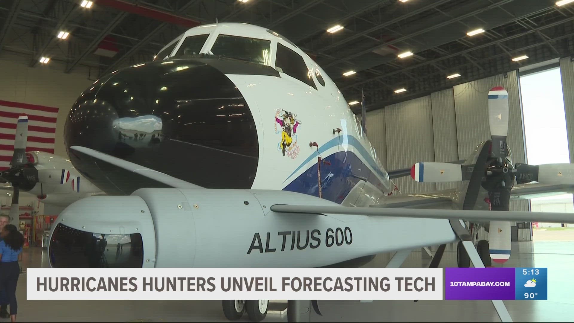
On Tuesday, scientists showed off some of the devices being used to gather data for the new and improved hurricane-tracking model at NOAA's Aircraft Operations Center in Lakeland.
Streamsondes
Streamsondes are new, lightweight dropsondes — small instruments that record atmospheric pressure, temperature, relative humidity, wind speed, and wind direction as they descend through the atmosphere.
Several of them can be released into a storm at once to provide valuable wind data.
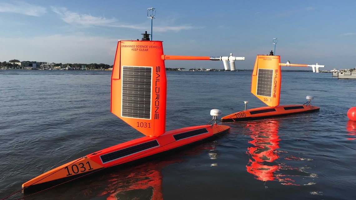
Saildrones
These uncrewed observation platforms are powered by solar, wind and wave energy to collect information like sea surface temperature, salinity, pressure and wave height.
This is NOAA's third year using Saildrones, but 12 of them will be deployed this summer, which is more than ever before.

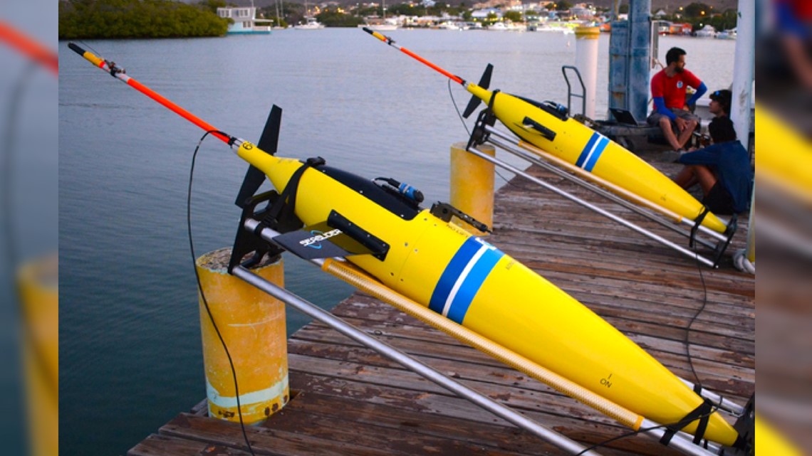
Gliders
Underwater gliders measure temperature and salinity more than half a mile deep in the ocean in areas where hurricanes are known to intensify or weaken. NOAA has used gliders for more than 10 years and this year will deploy between 20-30 of them.

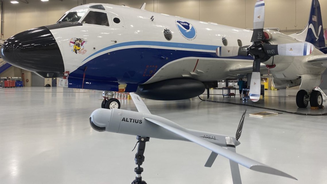
Small uncrewed aircraft systems
NOAA has tested a number of small, lightweight aircraft that measure temperature, pressure and humidity.
One aircraft, Andruil-Altius 600, was flown into the eye of Hurricane Ian last year.