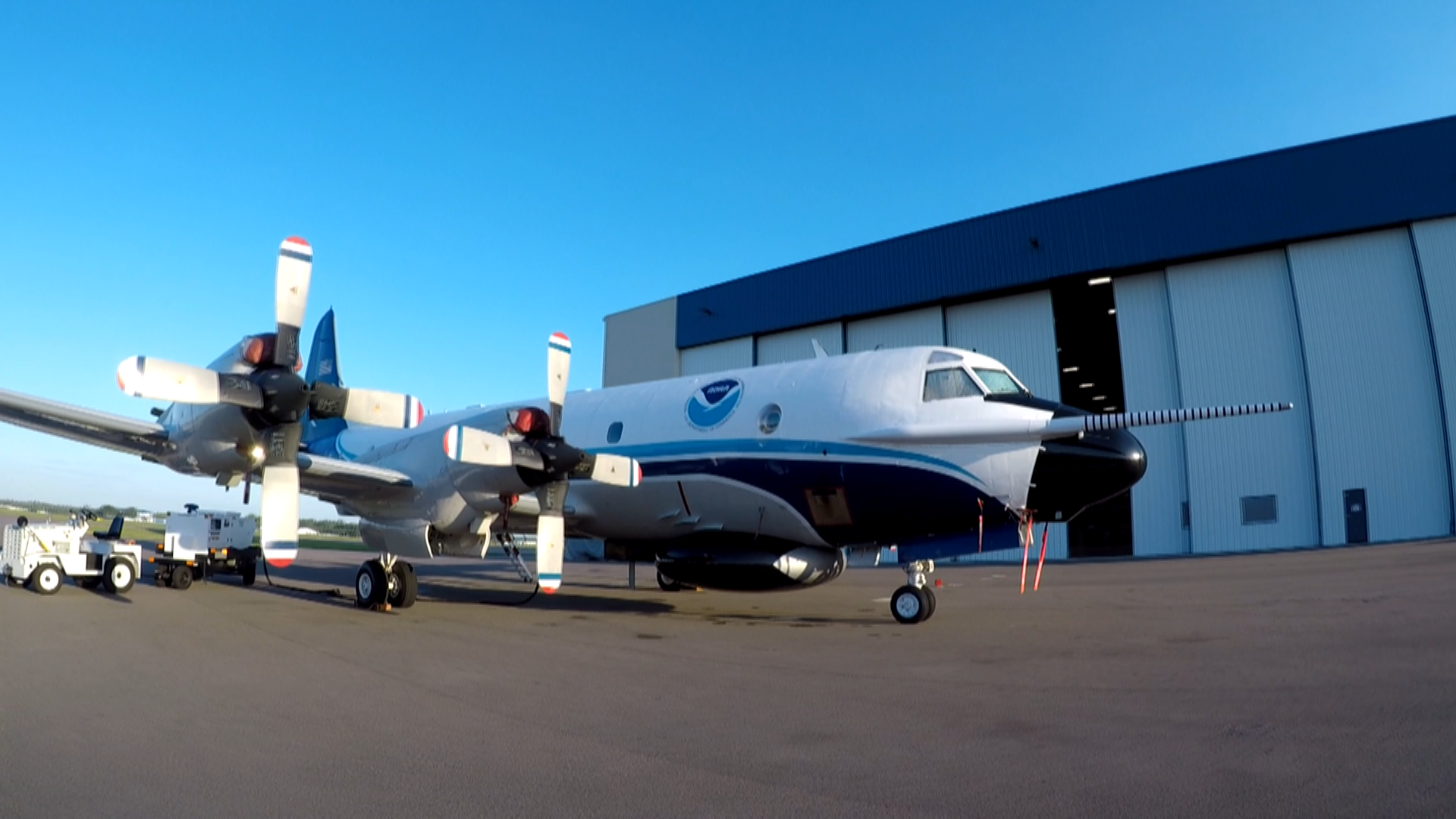
LAKELAND, Fla. — A hurricane is typically something to run from, but the NOAA Hurricane Hunters are tasked with not only flying in but flying directly through the worst of the storm.
It's a monumental effort to help protect us.
"It is simultaneously the most exciting flight you can have and sort of the most terrifying flight you can have almost at the same time," Lieutenant Commander Adama Abitbol said.
Call him a hurricane hunter, a pilot who experiences a 9-to-11-hour mission of gathering the information that will play a pivotal role in making a making as accurate of a forecast as possible.
Tropical storms and hurricanes are an annual threat to the Tampa Bay area and Florida at large. Ultimately the accuracy of the forecast for those storms is critical in protecting the life and property of those in the path of danger. In order to make the most accurate forecast for a storm, there has to be accurate and specific information to base that forecast off of.
Perhaps not so surprisingly, the only way to get the most valuable data is to actually fly into the worst part of the storm.
The National Oceanic and Atmospheric Administration has two aircraft that are specifically built to fly into hurricanes. Two WP-3D Orion Aircraft are the preeminent airborne atmospheric collection platforms, bar none across the entire world, and are based in our backyard at Lakeland Linder International Airport.
As these planes break through the eyewalls of Category 5 hurricanes with wind speeds greater than 157 mph, these planes and their crews are able to safely gather this critical forecasting data.
10 News meteorologist Grant Gilmore got an up-close look and spoke with a pilot and an onboard meteorologist for NOAA’s Hurricane Hunters to see how they are more prepared than ever for yet another season.
Catch his story Thursday, May 9.

