ST. PETERSBURG, Fla. -- As Hurricane Maria approached Puerto Rico, meteorologists were using the local radar to track the worst of the storm as the eye moved closer.
All of a sudden, the radar went down and forecasters were left to track the storm without one of their most important now-casting tools.
The United States National Weather Service has a network of 160 radars that are spread across all 50 states and select overseas locations -- including one in Puerto Rico. Radar (RAdio, Detection And Ranging) is the technology used to track precipitation, precipitation intensity, direction and type. Without a radar, it becomes nearly impossible to accurately predict the Each standard weather radar used by the National Weather Service is able to 'view' precipitation up to about 150 miles.
This range, combined with the relatively high concentration of radars throughout the United States, allows for surrounding radars to be able to fill in the coverage hole in the event a radar goes offline.
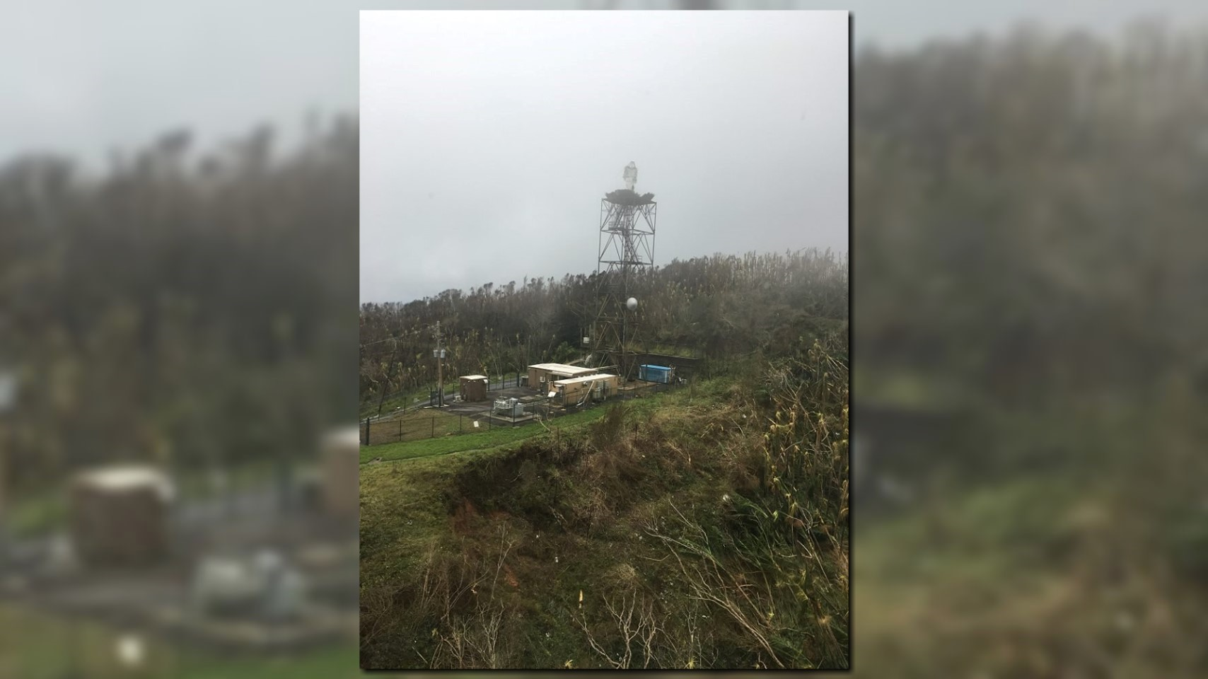
When you are on an island in the middle of the Caribbean, however, the luxury of using surrounding radars doesn't exist. Once Hurricane Maria cleared out of Puerto Rico, it was discovered that the radar in Puerto Rico didn't just get knocked offline, but knocked off altogether.
The damage to the radar was so severe that it will likely take a month to just get an idea of how long it will take to get the radar functioning again.
In the meantime, forecasters are immediately left with satellite data, a lightning detection network and some other tools to try forecast and warn of potential weather hazards. While local forecasters will be able to provide some warning to people in Puerto Rico, they will certainly be handicapped by the lack of critical radar data.
►Make it easy to keep up-to-date with more stories like this. Download the 10 News app now.
Have a news tip? Email tips@wtsp.com, visit our Facebook page or Twitter feed.


