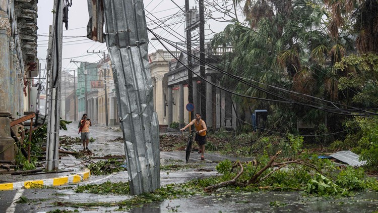
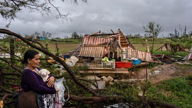
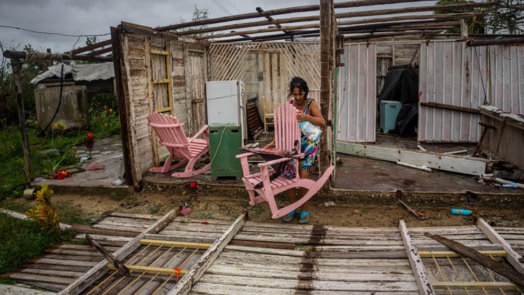
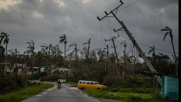
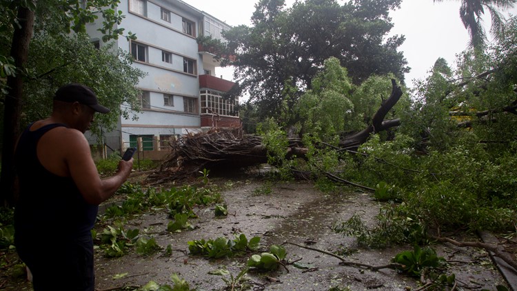
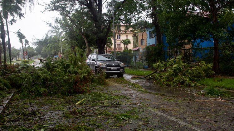
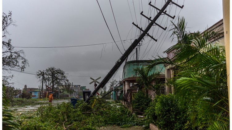
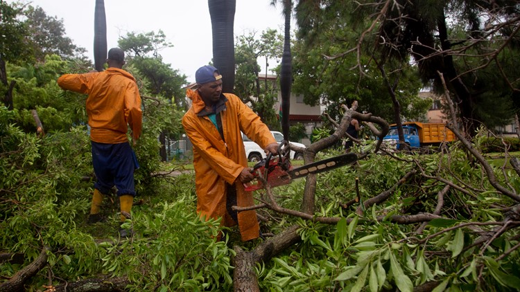
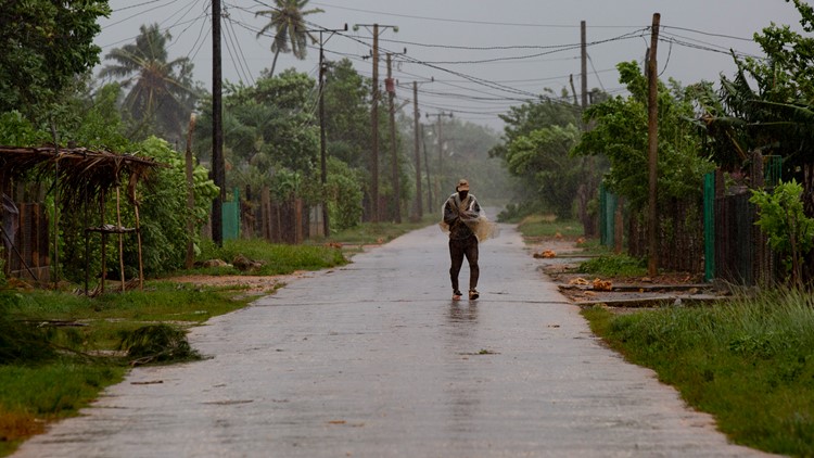
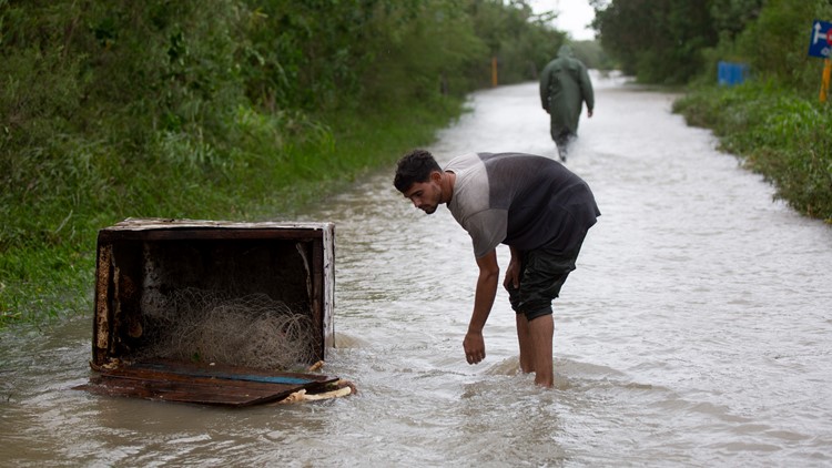
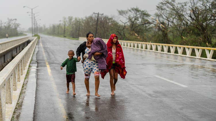
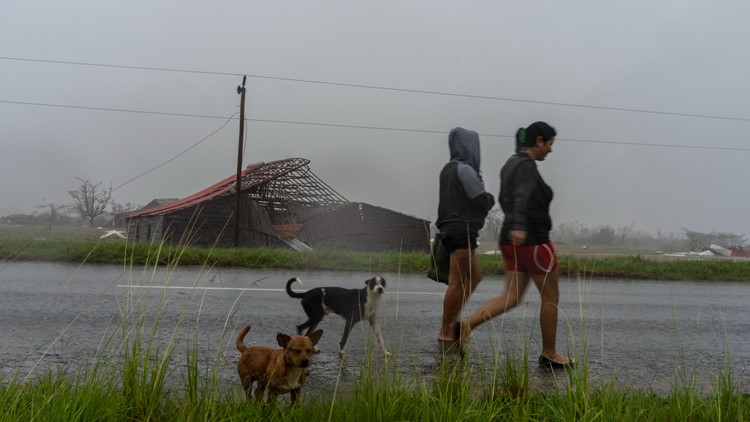
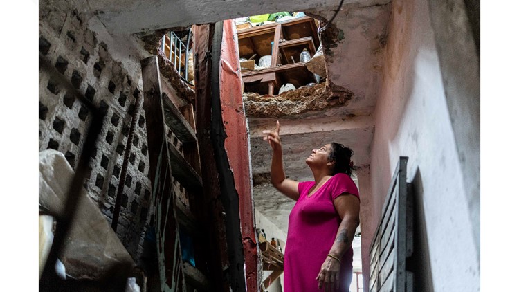
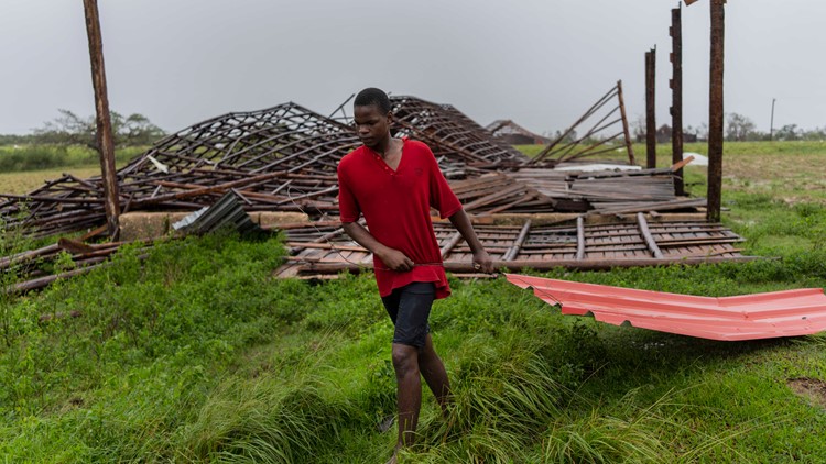
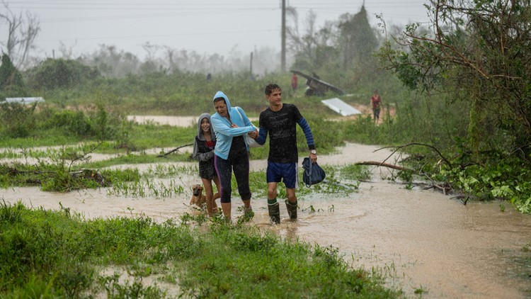
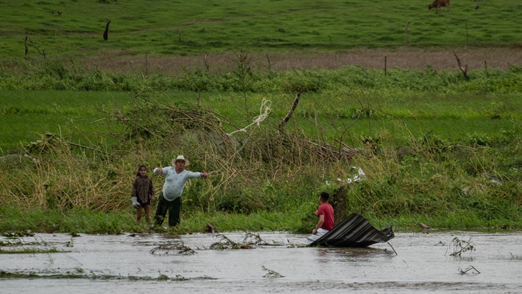
HAVANA, Cuba — Pictures show downed power lines, shredded trees and flooded streets Tuesday after Hurricane Ian tore into western Cuba.
Ian made landfall in Cuba’s Pinar del Rio province at 4:30 a.m., where officials set up 55 shelters, evacuated 50,000 people, rushed in emergency personnel and took steps to protect crops in the nation's main tobacco-growing region.
The National Hurricane Center said Cuba suffered “significant wind and storm surge impacts” when the hurricane struck with top sustained winds of 125 mph. About 1 million people were left without electricity.
Initial pictures of the aftermath show a small glimpse of what Ian left behind.
Photos show aftermath of Hurricane Ian in Cuba
After hitting Cuba, Ian continued its path over the Gulf of Mexico.
Hurricane and storm surge warnings are in effect for Tampa Bay ahead of increasingly likely impacts from Hurricane Ian. Significant impacts are anticipated — including life-threatening storm surge, hurricane-force winds and flooding rainfall.
As of the 5 p.m. advisory, Hurricane Ian is still a Category 3 storm and was located about 230 miles south of Sarasota, with sustained winds of 120 mph. Ian's movement is north at 10 mph.
The NHC expects Ian to strengthen later through Wednesday and approach the west coast of Florida as an "extremely dangerous major hurricane."
A life-threatening storm surge of 5-12 feet is possible along the west coast of Florida, with the highest risk from Bonita Beach northward to Longboat Key. Tampa Bay itself could see a 5-8 foot storm surge.
People living along and near the coast are urged to evacuate to safety.
10 Tampa Bay is keeping you ahead of the storm: Download our free mobile app for real-time storm information and breaking alerts, and download 10 Tampa Bay+ on your Fire TV or Roku devices to stream live coverage.
Now is not the time to let your guard down. Make sure you have your plan in place and hurricane kit ready at hand. Check out our full list of hurricane hacks here.
The Assocated Press contributed to this report.


