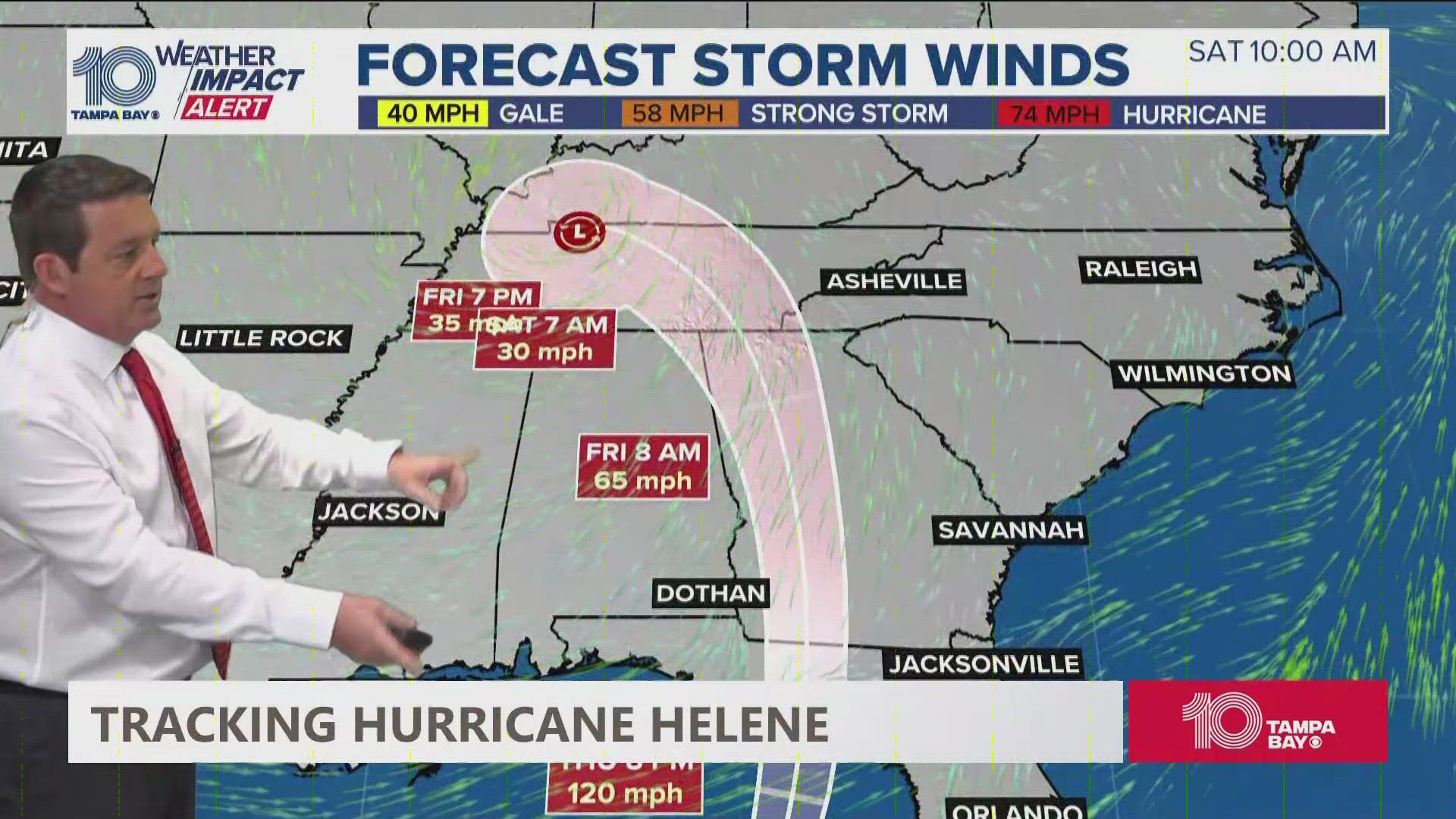
ST. PETERSBURG, Fla. — Hurricane Helene strengthened into a Category 3 story on Thursday ahead of landfall in the Big Bend region of Florida.
The Tampa Bay region should be prepared for potential severe impacts from the hurricane, including heavy rain, strong winds and storm surge.
Thursday morning, the Tampa Bay area was placed under a tornado watch until 8 p.m.
In the following guide, 10 Tampa Bay will break down how each county in the Bay area will be impacted by the impending storm.
Pinellas County
- Storm Surge: 5-8 feet
- Rainfall: 4-8 inches
- Wind: 45-55+ mph sustained winds
Hillsborough County
- Storm Surge: 5-8 feet
- Rainfall: 4-8 inches
- Wind: 45-55+ mph sustained winds
Pasco County
- Storm Surge: 6-15 feet
- Rainfall: 4-8 inches
- Wind: 45-55+ mph sustained winds
Citrus County
- Storm Surge: 6-15 feet
- Rainfall: 4-8 inches
- Wind: 45-55+ mph sustained winds
Manatee County
- Storm Surge: 5-8 feet
- Rainfall: 4-8 inches
- Wind: 45-55+ mph sustained winds
Polk County
- Storm Surge: 1-3 feet
- Rainfall: 4-8 inches
- Wind: 45-55+ mph sustained winds
Hernando County
- Storm Surge: 6-15 feet
- Rainfall: 4-8 inches
- Wind: 45-55+ mph sustained winds
Sarasota County
- Storm Surge: 4-7 feet
- Rainfall: 4-8 inches
- Wind: 45-55+ mph sustained winds
In addition to these impacts, a tornado or two may occur Wednesday night over parts of the Florida Peninsula and southern Alabama, according to the National Hurricane Center. That risk for tornadoes will reportedly increase on Thursday and expand northward across Florida into parts of Georgia and South Carolina.
Now is the time to make sure your hurricane kit is ready and up to date.
We will continue to provide the latest information through your 10 Tampa Bay hurricane headquarters.

