
FLORIDA, USA — A new hurricane forecasting system has launched, giving more accurate projections of a storm's path.
The National Oceanic and Atmospheric Administration (NOAA) announced its new Hurricane Forecast and Analysis as the newest numerical model and data assimilation system developed within the framework of the Unified Forecast System (UFS).
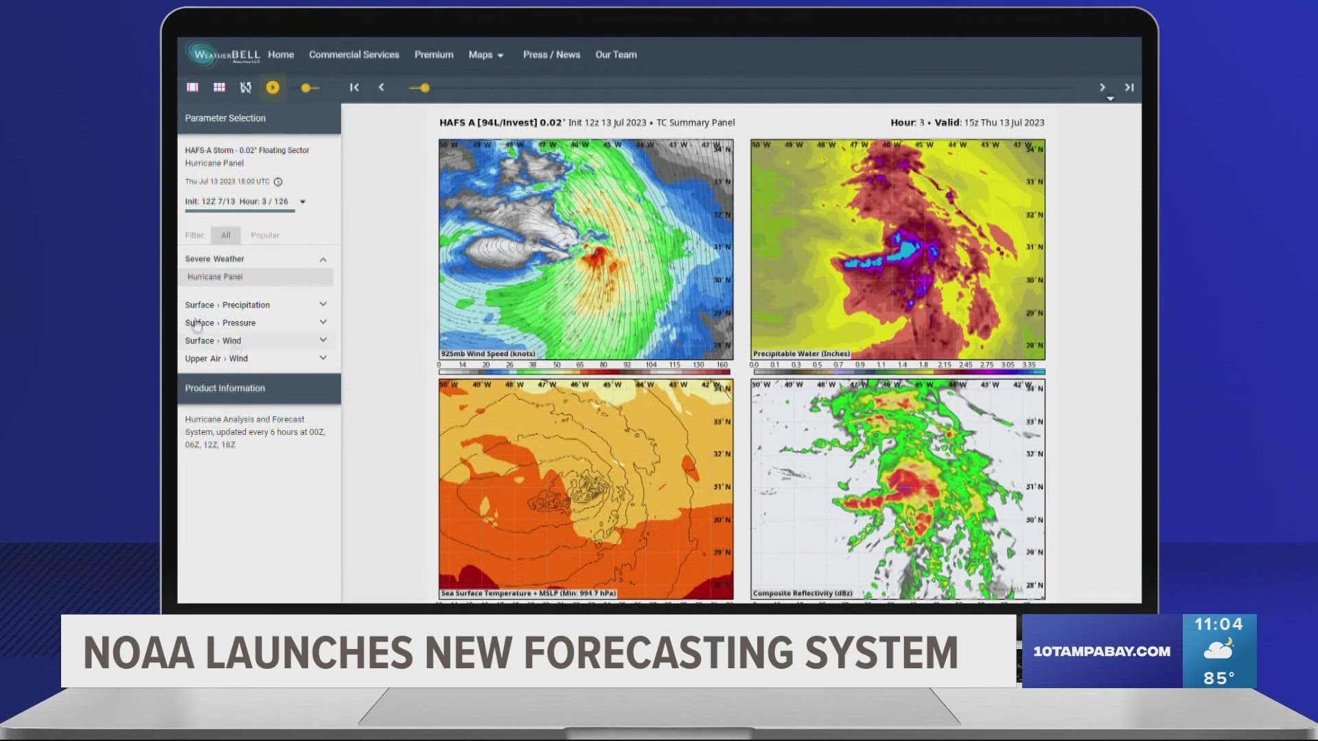
"The foundational component for this model is its moving nest, which allows the model to zoom in on hurricanes across the Atlantic and Pacific basins," NOAA explains. "The moving nest is like a high-definition TV that allows us to zoom into areas of a hurricane such as the eyewall and bands of intense rain."
The new system is already shown to give a more accurate track prediction.
"Already, there's been an improvement of 10 to 15 percent," 10 Tampa Bay Meteorologist Natalie Ferrari said. "And it's believed that we can go way higher than that which think about it, we have more populations taking over more terrain, more folks even owning that property."
An experimental version has been running from 2019-2022.
"So it has better data simulation, has better resolution, and is one of the first models to run on one of our new supercomputers and NOAA," said Matt Anderson, the science and operations officer at National Weather Service Tampa.
The system's resolution can narrow down a storm system to 1.2 miles to better predict wind speeds and rain totals.
"Being able to better predict the intensity, because that means that's what you you're going to feel where you live and the damage that you could be dealing with on your property," Ferrari said.
We're in the middle of hurricane season now. This new technology has the ability to extend forecasting out seven days.
"But knowing that it is the latest and greatest, it has all of this new data assimilation, it's run on the fastest computer, it has some of the highest resolution has some of the highest resolution will kind of give it a just a leg up over the other models," Anderson said.
The existing models, HWRF, European and GFS will still be used. The Hurricane Forecast and Analysis System will be an added tool in keeping you safe.
Malique Rankin is a general assignment reporter with 10 Tampa Bay. You can email her story ideas at mrankin@10tampabay.com and follow her Facebook, Twitter, and Instagram pages.